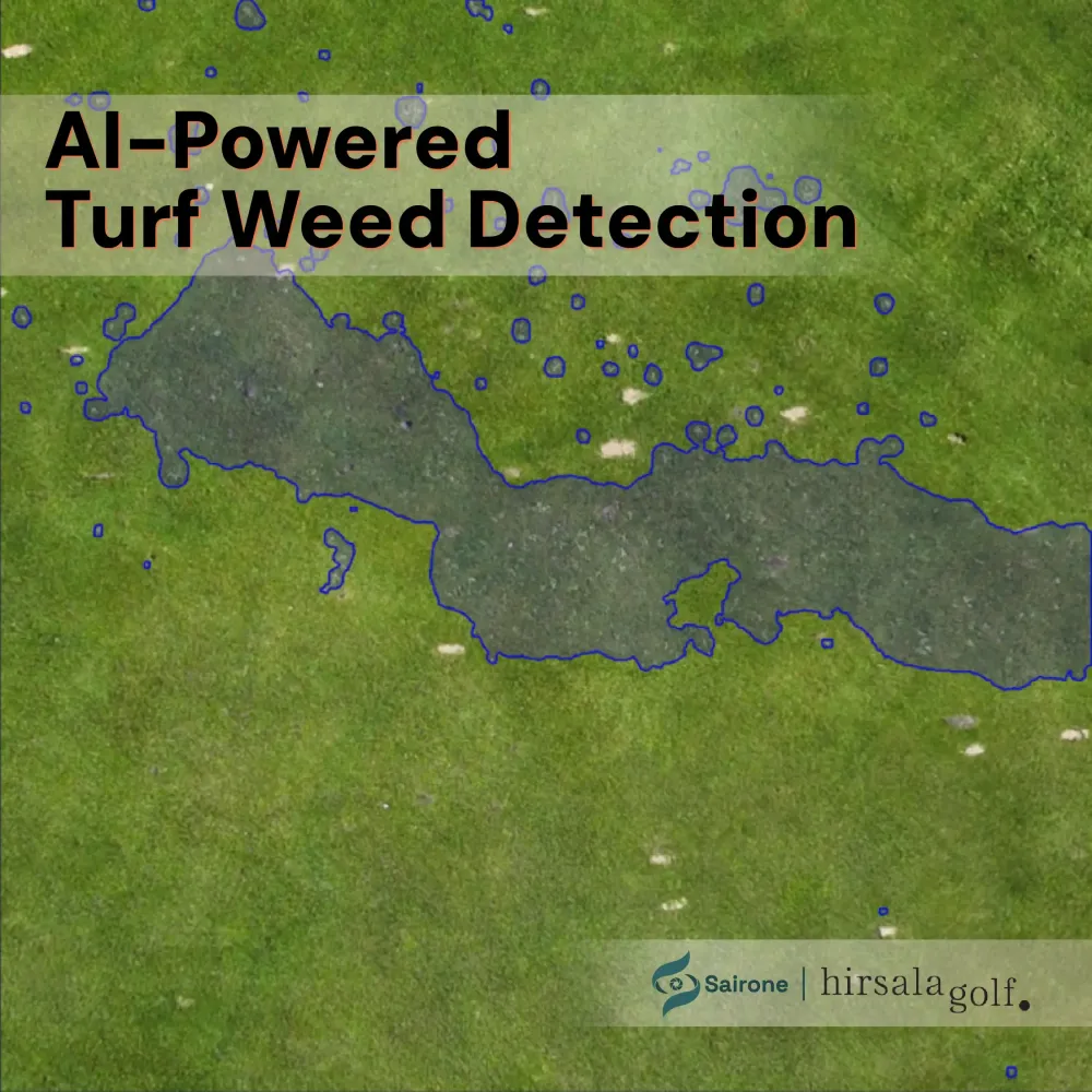
Fleabane Detection in Soybean Farms of Canada
Powered by Sairone and funded by OAFRI, this project leverages AI and drone imagery to detect herbicide-tolerant Canada Fleabane in Ontario soybean fields. Designed to empower farmers with no-code tools, it transforms raw agricultural images into actionable insights—enabling geotagged weed detection, herbicide mapping, and data ownership. By lowering tech adoption barriers, this initiative supports sustainable, privacy-first farming across Canada.

- Timeline
- Apr 2024 – Aug 2025
- Industry
- Solution
- Platform
- Country
- Technology
Project Background
This project was made possible through funding from the Ontario Agri-Food Research Initiative (OAFRI), a joint initiative by the Governments of Canada and Ontario under the Sustainable Canadian Agricultural Partnership (Sustainable CAP). OAFRI supports demand-driven agri-food research and innovation aimed at strengthening sector resiliency, addressing practical business challenges, and enhancing market opportunities locally and globally. Our project focuses on the detection of herbicide-tolerant Canada Fleabane in soybean fields using AI and computer vision to empower sustainable, data-driven farming practices in Ontario and beyond.
Problem Statement
The emergence and spread of herbicide-tolerant (HT) weeds like Canada Fleabane represent a major challenge to soybean farmers across Canada. Traditional weed management techniques are increasingly ineffective, and farmers are left dealing with high input costs and yield loss. According to McKinsey & Company (2023), 47% of farmers identify the high cost of technology as a barrier to adopting agtech, while 30% point to an unclear ROI. Furthermore, many farmers are overwhelmed by raw drone and equipment imagery, stored across multiple USB drives, with no accessible means of making use of this valuable data.
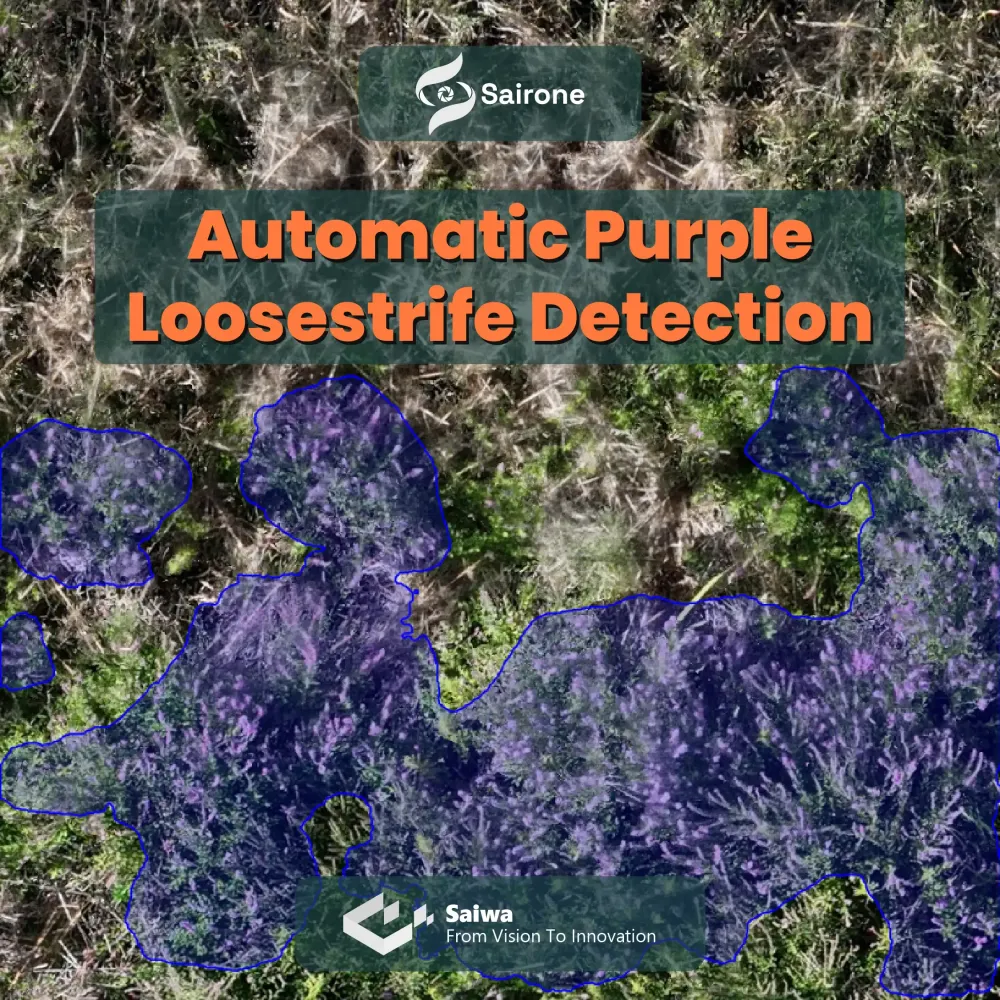
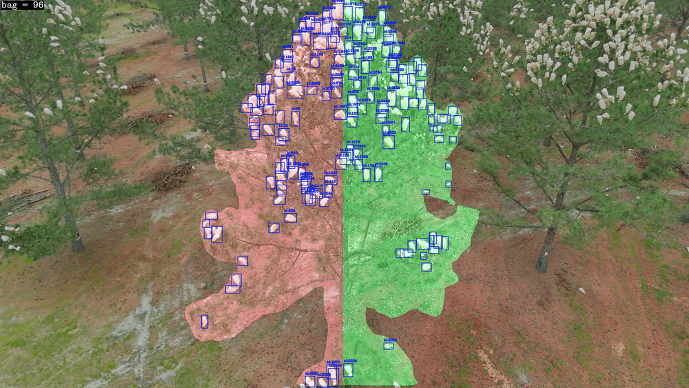
Image Source: Invasive plant dataset
Our Solution
We developed a no-code, AI-powered computer vision platform that allows farmers to “wrangle their own agricultural imagery” without relying on expensive subscriptions or sharing data with chemical suppliers. Through our Sairone platform, farmers can:
Upload and process drone or orthomosaic imagery
Automatically stitch, clean, and prepare images
Detect herbicide-tolerant weeds like Canada Fleabane
Geotag infestations and export maps or CSV files
Generate herbicide application maps or targeted intervention scripts
Collaborate with agronomists or advisors in a privacy-respecting way
Retain ownership of their imagery and trained detection models
Monetize their data and algorithms on their own terms

Target Users
This technology is being developed to support a broad spectrum of agricultural stakeholders, including:
Soybean farms and growers’ associations
Agronomists and ag input suppliers
Vertically integrated ag companies
Drone imaging and UAV service providers
OMAFRA and academic weed researchers
Crop chemical R&D teams
Identity-preserved value chains and export groups
ESG verifiers, auditors, and food brands (e.g., McCain, General Mills)
Project Phases
Phase | Description | Duration |
PI | Data Gathering (Drone imagery of Fleabane in Soybean) | 3 months |
PII | Data Cleaning and Preprocessing | 2 weeks |
PIII | Data Annotation using Saiwa’s Boundary Annotation service | 1 month |
PIV | Orthomosaic module and TIF image interface development | 3 months |
PV | Machine Learning module development for Fleabane detection | 3 months |
PVI | Software integration into Sairone platform | 2 months |
PVII | User training and documentation | 2 months |
Resources Used:
RGB drones for image acquisition
Cloud computing and storage
GPU-powered ML training infrastructure
Empowering Farmers with Sairone
With this initiative, we aim to reduce the barriers to AI adoption in agriculture, offering an intuitive and effective way to identify, track, and manage invasive weeds. As the system evolves, farmers will be able to refine the detection model collaboratively and even monetize their contributions—ensuring that agtech works for the farmer, not just on the farm.
Check it Out
Share this project
Help others discover this work