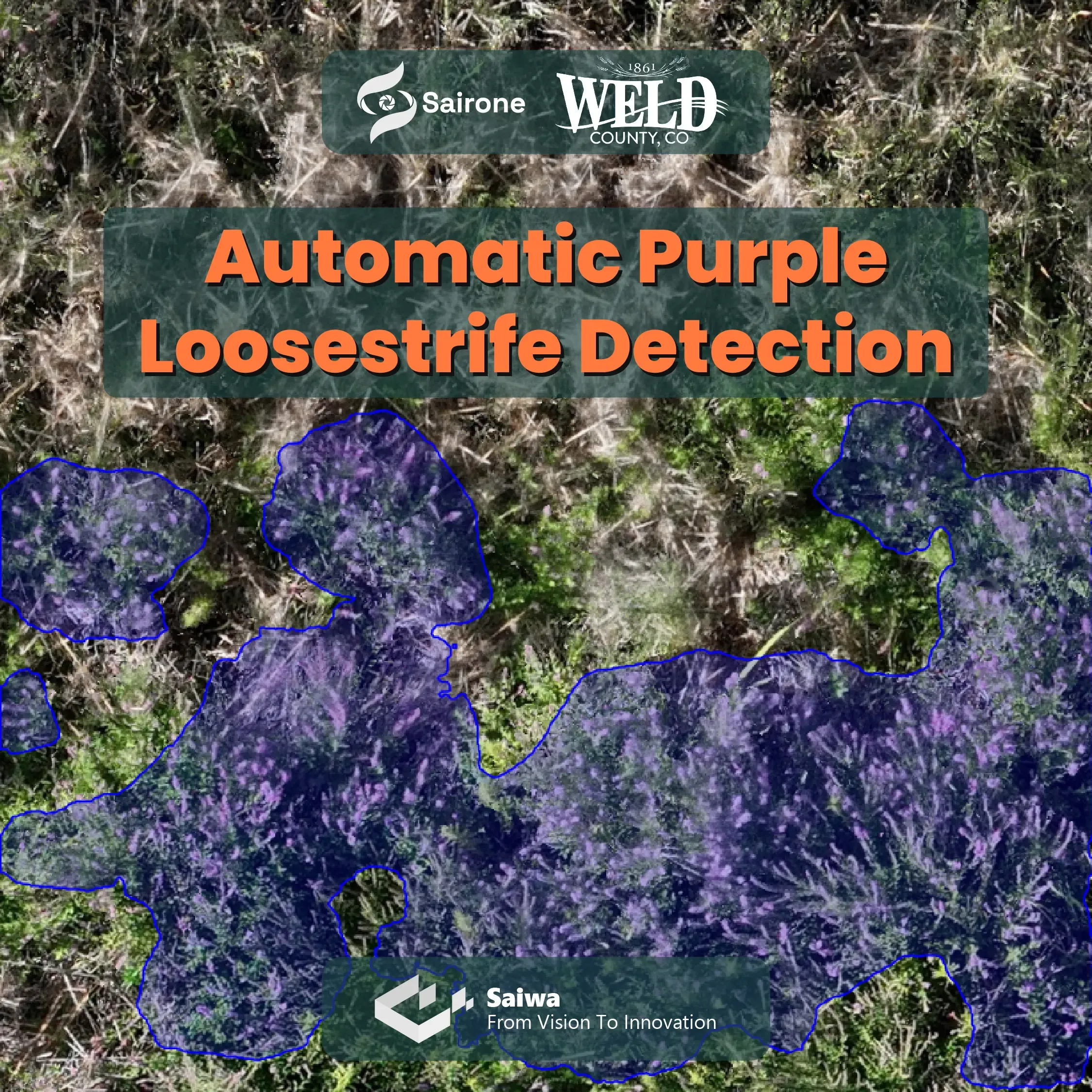
Automatic Purple Loosestrife Detection with AI-Powered Semantic Segmentation
Delivered
Since 2026-02 till 2026-02
A Collaboration with
Weed Division of Weld County Public WorksOct 6, 2026
A Collaboration with
Weed Division of Weld County Public WorksSaiwa collaborated with Weld company to develop an AI-powered solution for detecting and mapping Purple Loosestrife (Lythrum salicaria), an invasive plant species that can spread rapidly across wetlands, riverbanks, ditches, and other wet environments. The project combines customer-provided aerial imagery, customized computer vision, and Sairone's cloud-based processing capabilities to turn large TIFF imagery into detailed Purple Loosestrife detection maps.
Purple Loosestrife is a non-native perennial plant that can form dense infestations and displace native vegetation. Early detection and mapping can help weed-management teams identify affected areas and support more targeted management activities.
For this project, Weld company provided high-resolution TIFF imagery containing Purple Loosestrife infestations. We at Saiwa used this imagery to develop a customized semantic segmentation model capable of identifying Purple Loosestrife directly within the aerial imagery.
Rather than treating the flowers as individual point detections, the solution uses semantic segmentation to identify the image regions corresponding to Purple Loosestrife.
The project workflow included:
- Preparation and analysis of customer-provided TIFF imagery
- Annotation of Purple Loosestrife regions for model training
- Development and training of a customized semantic segmentation model
- Processing of the complete TIFF imagery using the trained model
- Generation of mapped detection results
- Deployment of the model as an operational service on Sairone
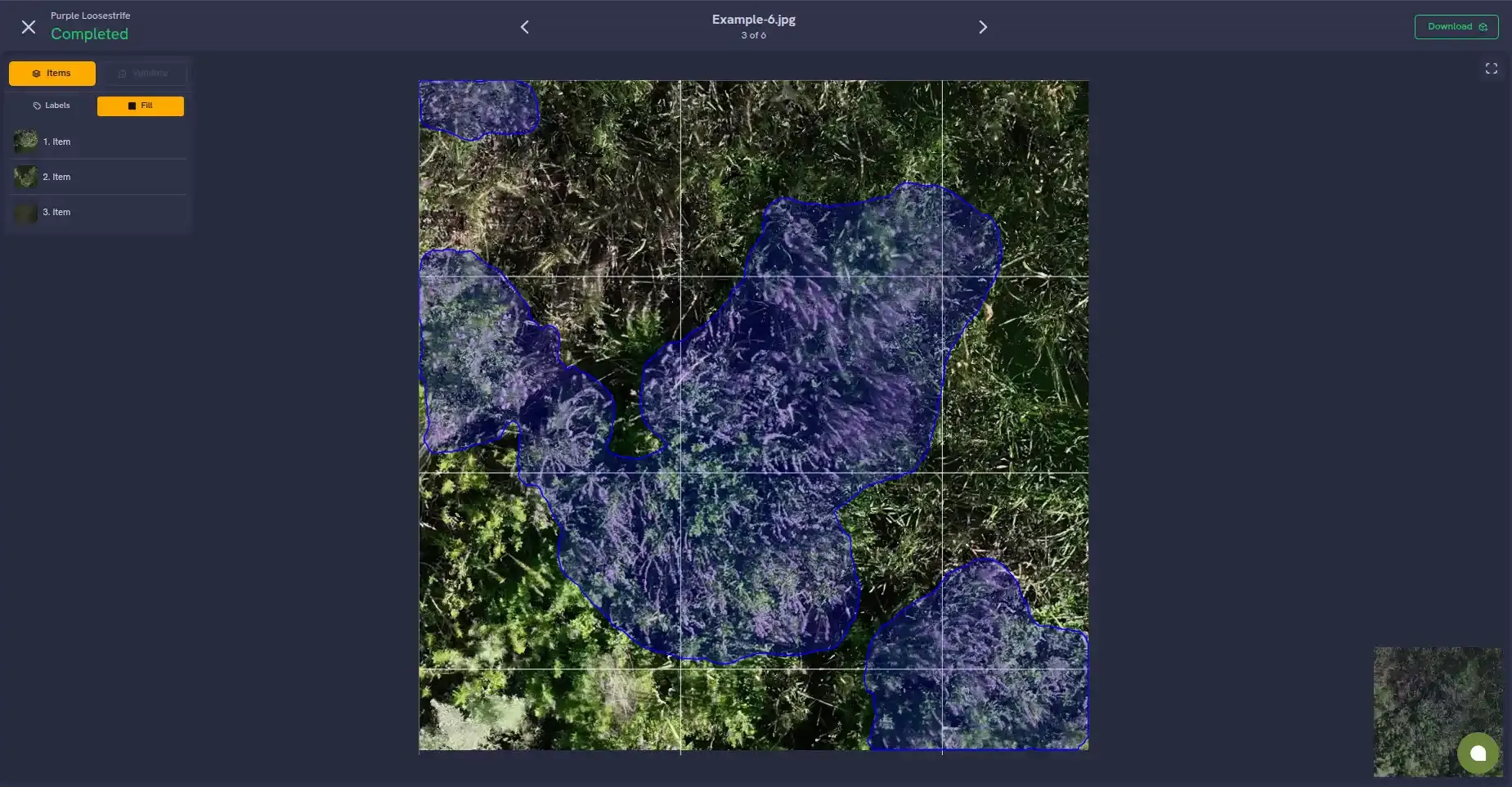
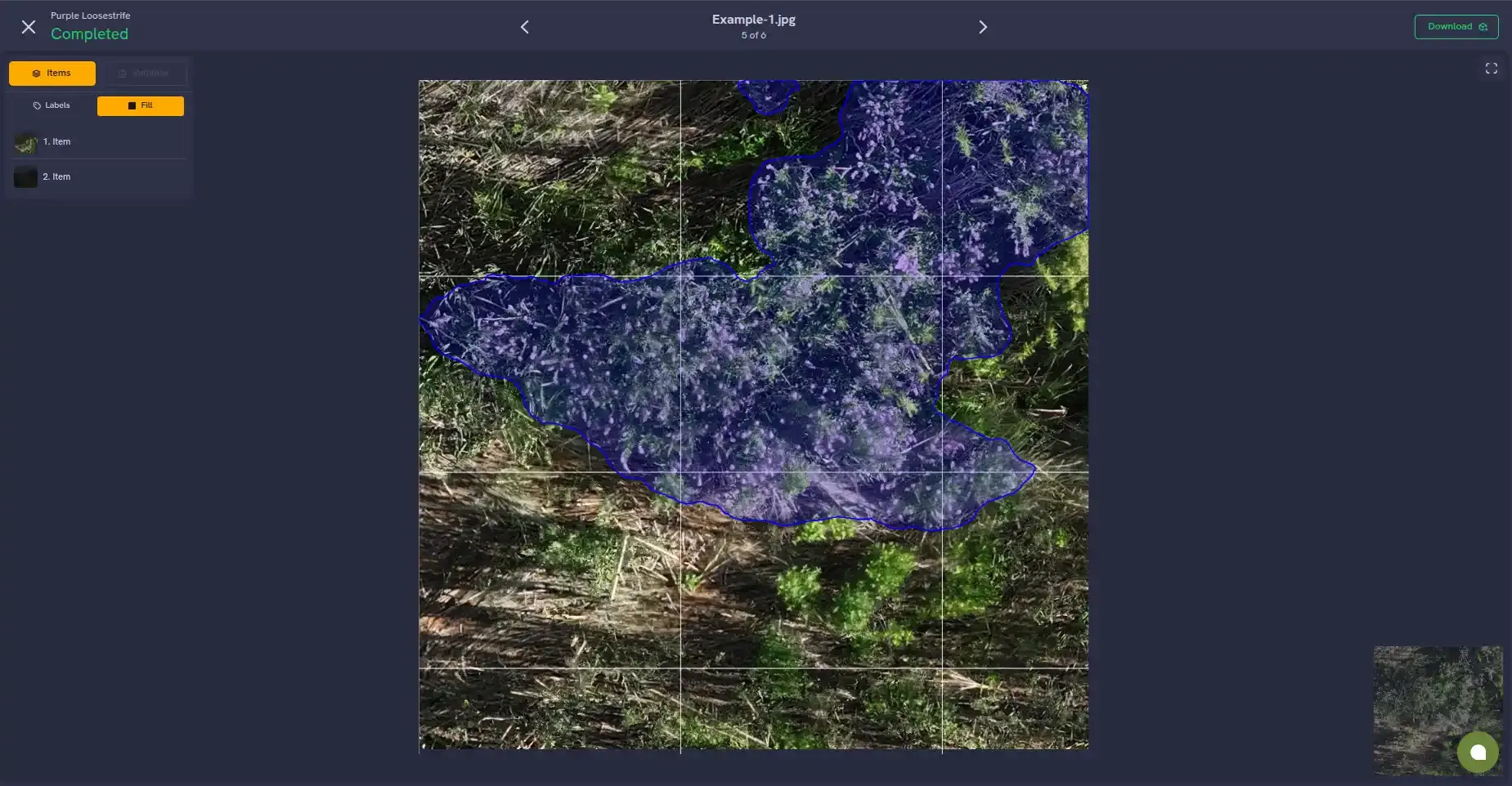
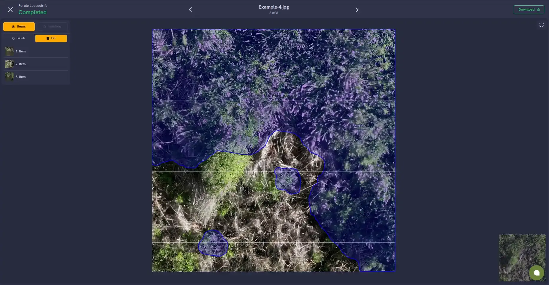
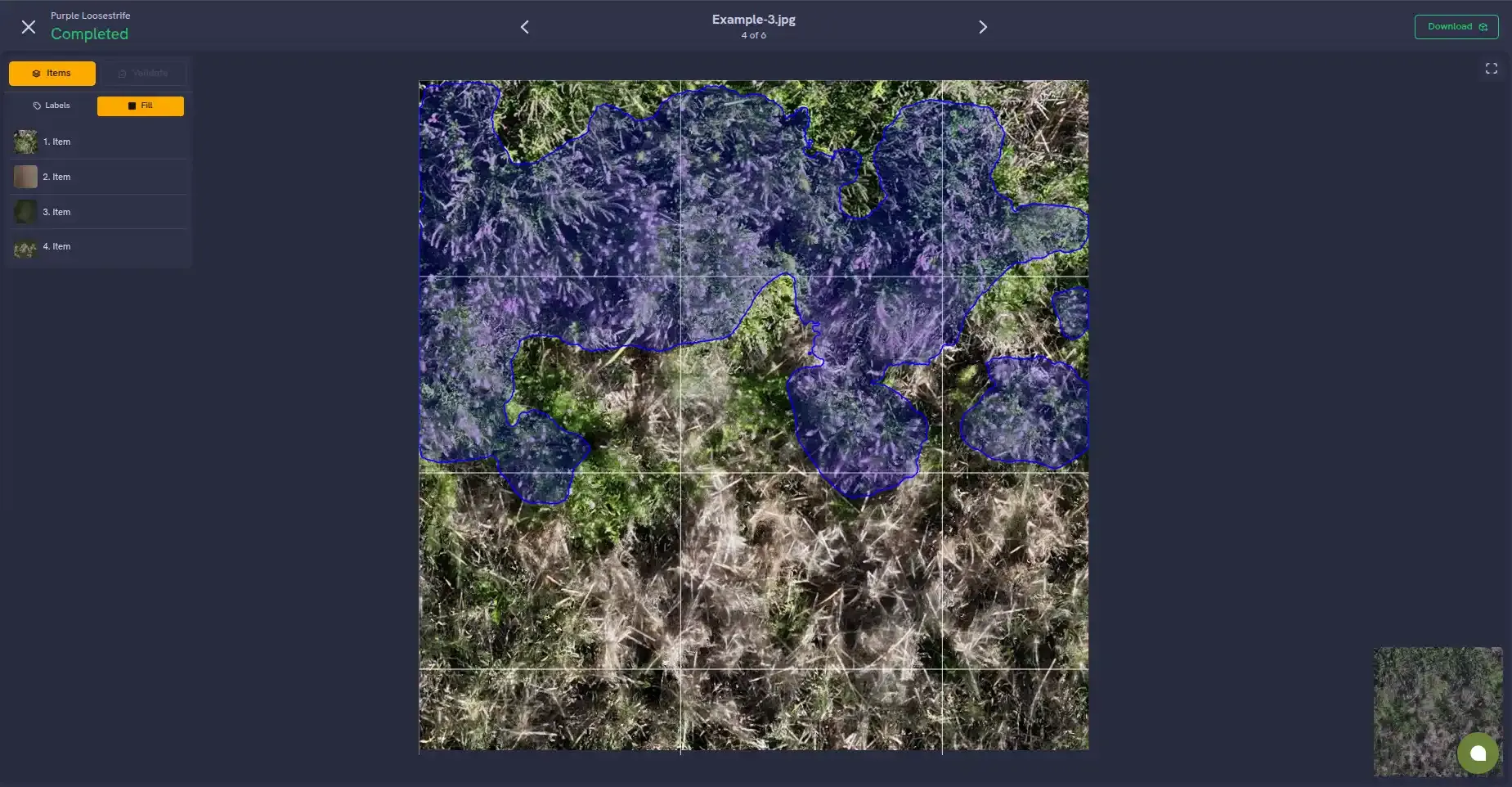
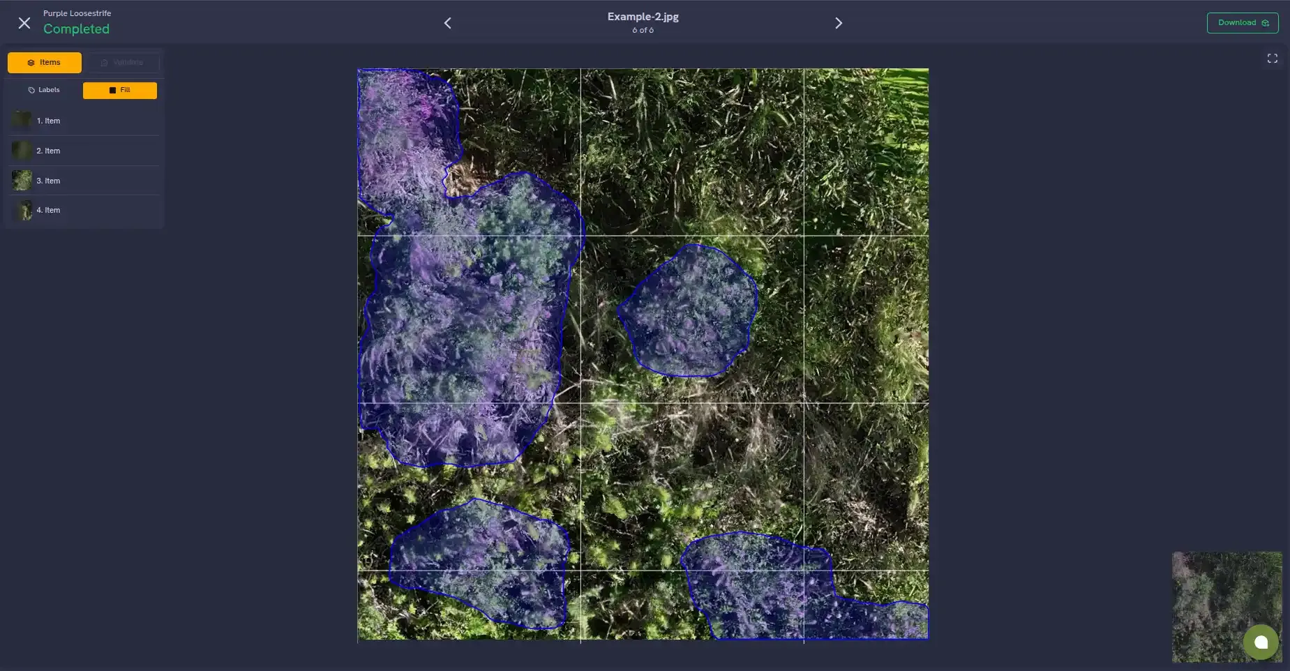
Following model development, we integrated the Purple Loosestrife model into Sairone as a dedicated weed detection service. The service allows the developed AI workflow to be used through a web-based interface, providing a practical way to process imagery and obtain Purple Loosestrife detection results without requiring the customer to run the underlying AI infrastructure themselves.
The resulting workflow connects the complete process—from aerial imagery to AI-based detection—within a single service.
This project follows Saiwa's collaborative development model, in which the customer contributes domain-specific imagery and expertise while we develop the computer vision model and integrate it into an operational AI service. This approach makes it possible to build specialized detection solutions for specific invasive species and environments, while making the resulting models accessible through Sairone.
- Weed Division of Weld County Public Works: Domain data partner
- Saiwa Inc.: AI & Computer Vision Development Partner
The Purple Loosestrife Detection service is available here through Sairone as part of its weed and invasive plant detection capabilities.