AI-Powered Turf Weed Detection for Hirsala Golf
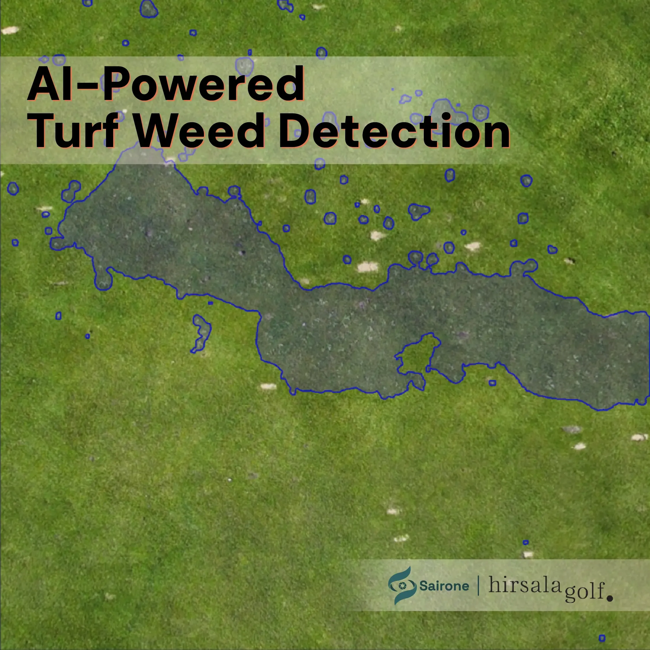
Discover how Saiwa developed an AI-powered turf weed detection solution for Hirsala Golf, using aerial imagery and computer vision to identify and map weed-affected areas across golf-course turf and support more targeted, data-driven weed management.
- Timeline
- Jul 2026 – Present
- Industry
- Solution
- Platform
- Country
- Technology
About the Project
Hirsala Golf is a Finnish golf course where maintaining high-quality turf and effective course management are important to the playing experience and ongoing maintenance of the course.
In July 2026, Hirsala Golf partnered with Saiwa to develop an AI-powered solution for detecting weeds in turf areas using aerial imagery. The project follows Saiwa's collaborative AI development model, where the customer provides domain-specific data and expertise, while Saiwa develops and trains customized computer vision models and deploys them as an operational service.
The Challenge
Weed management on golf courses requires a balance between effective weed control and the preservation of healthy turf. Weeds can occur sparsely across large turf areas, making systematic inspection and accurate identification difficult when relying primarily on manual assessment.
For golf course management teams, knowing where weeds are located and how they are distributed can support more targeted maintenance and treatment decisions. Instead of treating an entire area uniformly, accurate weed mapping can help identify the specific areas requiring attention.
Our Solution
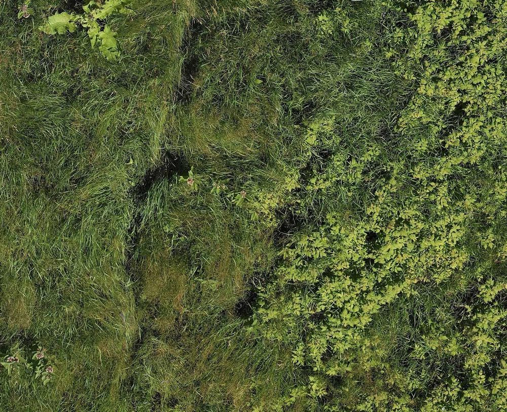
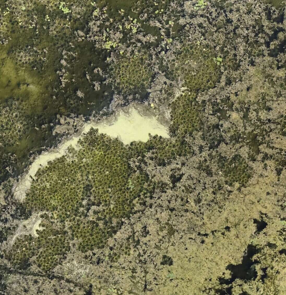
Saiwa developed a customized AI-powered turf weed detection service based on aerial imagery provided by Hirsala Golf. As part of the project, Hirsala Golf provided aerial data covering four golf holes, which was used as the primary project dataset for analysis, preparation, and model development.
Because weeds can occur as individual plants or in small, scattered groups across turf, the solution focuses on identifying weed-affected areas rather than simply counting individual plants. This enables the system to generate spatial information that can support targeted weed management workflows.
The resulting service is now available through Sairone as the Turf Weed Detection service, allowing aerial imagery to be processed through an online AI workflow and producing geospatial weed-detection outputs for downstream spraying operations.
Project Phases
Phase 1 — Data Collection & Analysis
Hirsala Golf provided aerial imagery from four golf holes together with domain-specific information about its turf and weed-management requirements. Saiwa analyzed the available imagery and evaluated the characteristics of the target environment to define an appropriate AI-based detection approach.
Phase 2 — Data Preparation & Model Development
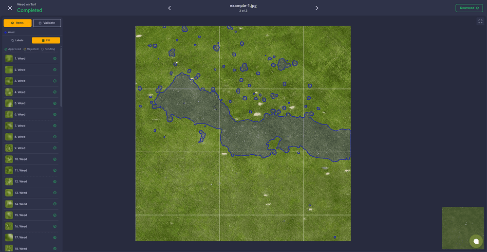
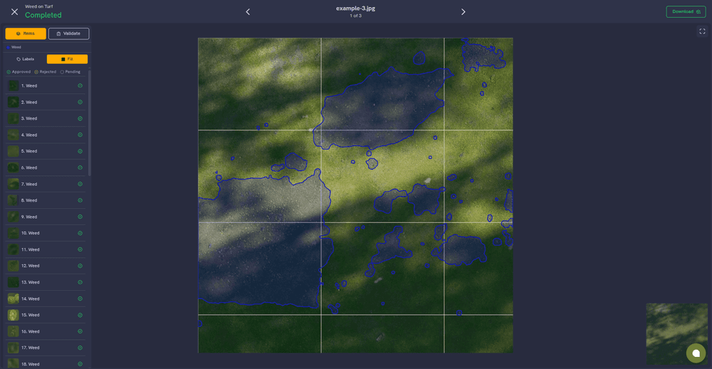
The aerial imagery was prepared and annotated to create a dataset for training and evaluating the customized weed-detection model. The development focused on detecting regions affected by weeds across turf areas rather than treating each weed as an individual detection target.
Phase 3 — Weed Mapping & JDOC Output
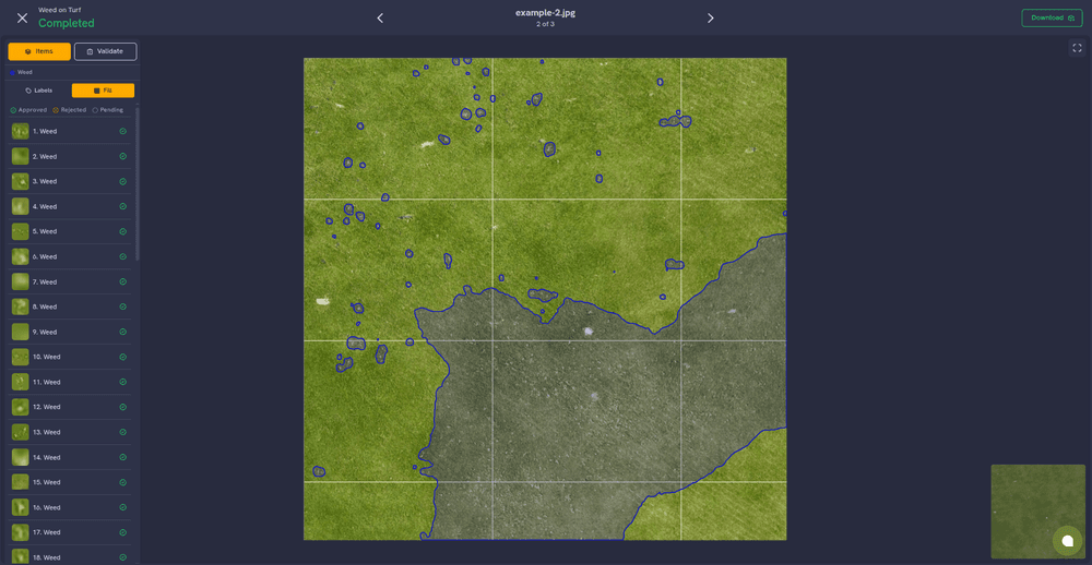
The trained model was integrated into a processing workflow capable of identifying weed-affected areas in the aerial imagery. The detected regions were then converted into geospatial outputs, including a JDOC output prepared to support the customer's spraying workflow and downstream precision weed-control operations.
Phase 4 — Sairone Service Deployment
Following model development and validation, Saiwa deployed the customized Turf Weed Detection service within the Sairone platform. The service enables users to process supported aerial imagery through the AI model and obtain mapped weed-detection results.
Phase 5 — Ongoing Development
The project is currently in development. The initial model and operational service have been deployed, while additional analysis, validation, and refinement are continuing. Future development will focus on improving the robustness of the detection workflow and further aligning the outputs with Hirsala Golf's operational requirements and turf-management processes.
Partners
Hirsala Golf — Finland
Saiwa Inc. — AI & Computer Vision Development Partner
Explore the Solution
Share this project
Help others discover this work