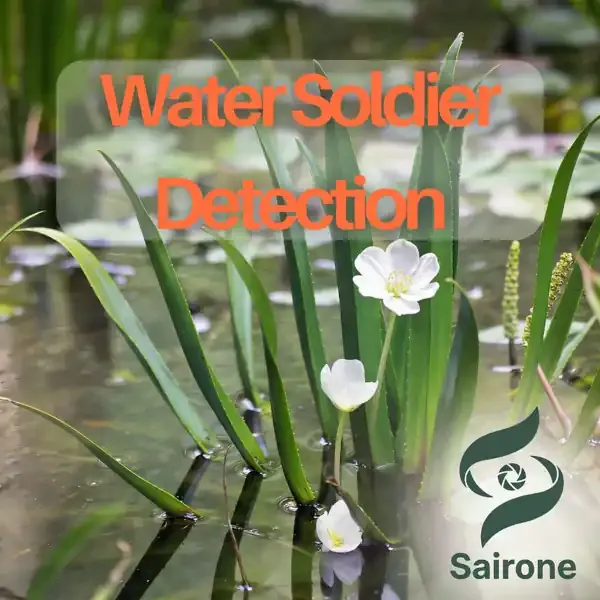
Multispectral Submersion Classification of Water Soldier in Drone Imagery
Development
Since 2026-01
Ordered by
Ducks Unlimited Canada (DUC)Feb 16, 2026
Aug 10, 2026
Ordered by
Ducks Unlimited Canada (DUC)In the previous phase of the project, Saiwa developed a high-resolution RGB-based detection model capable of identifying Stratiotes Aloides (Water Soldier) from drone orthophotos. However, while RGB imagery provides sufficient spatial detail for detection, it does not reliably indicate whether a detected plant is positioned above or below the water surface. Spectral differences related to water absorption and reflectance—particularly in the Near-Infrared (NIR) range—provide additional discriminatory power for this classification task.
The 2026 project therefore introduces multispectral analysis not for detection, but specifically for submersion status classification.
Although high-resolution RGB orthophotos enable accurate detection of Water Soldier regardless of its position relative to the water surface, determining vertical status (above vs. below water) remains challenging using RGB data alone.
Key challenges include:
The primary objectives of this phase are:
All plant detection continues to rely exclusively on high-resolution RGB orthophotos. The trained deep learning model identifies Water Soldier instances regardless of submersion depth, leveraging clear-water visibility conditions.
To incorporate spectral information, RGB orthophotos are geometrically aligned with NIR imagery using feature-matching and homography-based transformation techniques. This ensures pixel-level correspondence between detection outputs and multispectral data.
For each RGB-detected instance, spectral features are extracted from the aligned NIR layer. Because water strongly absorbs NIR radiation, emergent vegetation exhibits significantly higher reflectance than submerged vegetation. These differences form the basis of classification.
Relevant features may include:
A supervised machine learning classifier is trained using labeled data (field validation and expert annotations) to determine whether each detected specimen is above or below the water surface.
The final output preserves the original RGB detection geometry while adding a submersion status attribute.
By separating detection (RGB-based) from submersion classification (NIR-assisted), this approach maintains high spatial accuracy while introducing reliable vertical status estimation. The enhanced workflow enables more informed management decisions, supports targeted interventions, and strengthens long-term monitoring of invasive aquatic vegetation.
For technical details, implementation inquiries, or collaboration opportunities, please contact us via info@saiwa.ai or through this contact form.