



Applications of GIS in Agriculture - Turning Data Into Decisions
Applications of GIS in Agriculture include precision farming, crop monitoring, and AI-powered insights to boost sustainability and decision-making.
Written by Amirhossein
Reviewed by Boshra
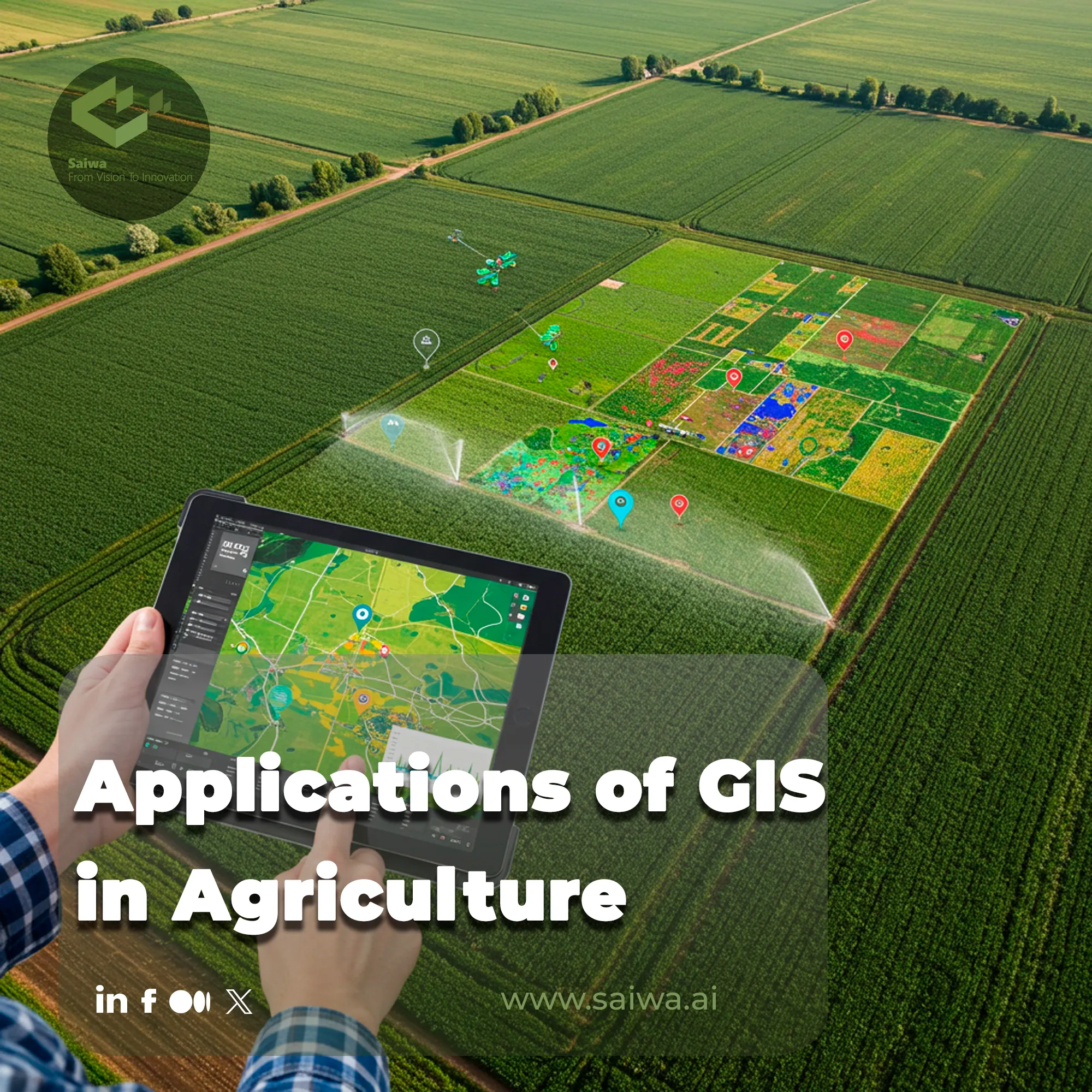
The challenge of feeding a growing global population sustainably has shifted agriculture from an intuition-based practice to a data-driven science. At the heart of this revolution lies Geographic Information Systems (GIS), a technology that transforms spatial data into strategic intelligence. This enables farmers and ecologists to make precise, evidence-based decisions that were previously unimaginable.
While GIS provides the framework, advanced AI platforms like Saiwa's Sairone translate this data into action. This article explores the core applications, benefits, and future trajectory of this synergy.

Top Applications of GIS in Agriculture
The evolution of geospatial technology has created a powerful management toolkit that goes far beyond simple cartography. The applications of GIS in agriculture now influence nearly every aspect of the farm management lifecycle, unlocking unprecedented levels of efficiency and insight. To better understand its scope, we can explore several critical areas where this technology is making a significant impact.
From Spatial Layers to Management Decisions
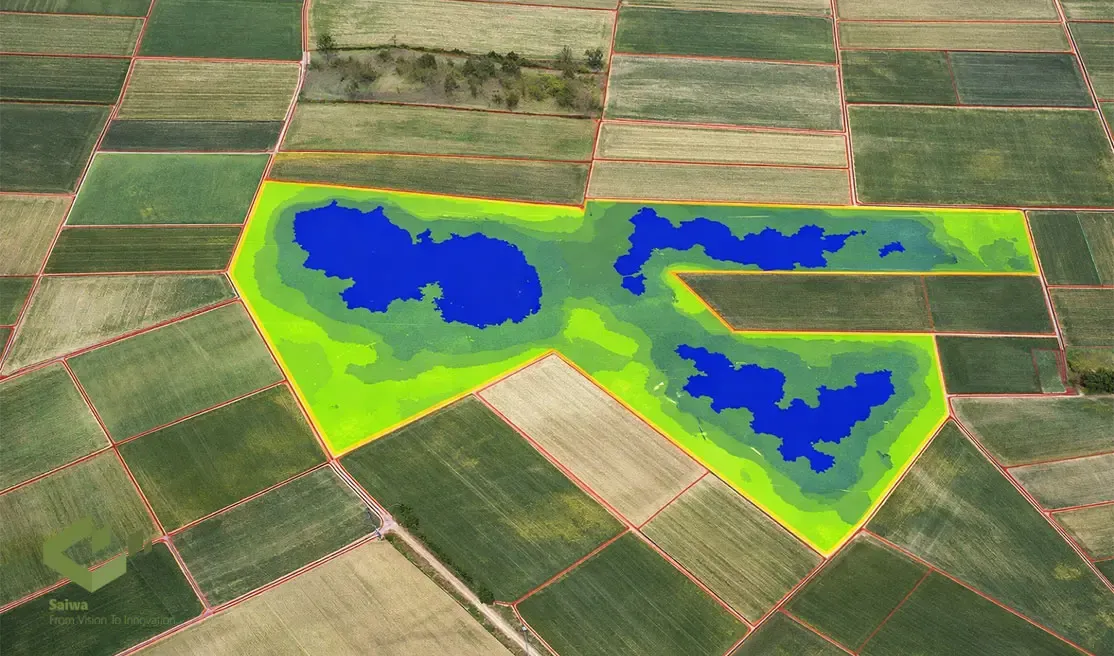
GIS creates the most value when it moves beyond visualization and becomes a structured decision-support workflow. A recent review on web-based spatial decision support for precision agriculture describes management zones as dynamic entities, which is an important reminder that field decisions should be updated as crop conditions, moisture status, and operational priorities change through the season.
That matters because a soil map, an NDVI layer, and a yield history map do not have the same decision value when viewed separately as when they are interpreted together. The strength of GIS is its ability to organize those layers spatially so that variability becomes measurable, comparable, and actionable.
Precision Agriculture
This is the cornerstone of modern farming, utilizing GPS and GIS to enable Variable Rate Technology (VRT). It allows for the precise application of seeds, fertilizers, and pesticides only where needed, drastically reducing waste and cost.
Crop Monitoring and Management
Through satellite and drone imagery, GIS helps create maps of vegetation indices (like NDVI). These maps visualize plant health monitoring, identify stress areas, and allow for timely intervention long before problems become visible to the naked eye.
Yield Prediction and Planning
By integrating historical data, soil maps, and in-season health imagery, farmers can perform accurate crop yield estimation. This allows for better financial planning, logistics management, and securing contracts.
Soil Analysis and Management
GIS layers map soil properties like composition, pH levels, and nutrient content across a field. This data informs targeted fertilization strategies, improving soil health and optimizing input costs.
Water and Irrigation Management
Combining topographical data with soil moisture sensor information in a GIS allows for the creation of highly efficient, automated irrigation plans that deliver water precisely where it’s most needed.
Flood, Erosion and Drought Control
GIS is instrumental in modeling and analyzing terrain to identify areas vulnerable to water-related risks. This facilitates the implementation of preventative measures like contour farming or building retention ponds.
Insect and Pest Control
GIS mapping helps identify and track pest hotspots. Instead of blanket spraying, treatments can be targeted, minimizing chemical usage and protecting beneficial insect populations.
Climate Change Adaptation
By modeling long-term climate pattern shifts, GIS assists researchers and farmers in selecting crop varieties that are better suited to future environmental conditions, ensuring resilience.
The Future of GIS in Agriculture
The trajectory of GIS in agriculture is inextricably linked to global demands for sustainable and responsible farming. This technology is no longer just a tool for productivity but a critical component in meeting environmental standards. The focus is shifting towards:
Sustainability Demands: Actively minimizing chemical inputs and operational waste.
Environmental Priorities: Protecting and enhancing local biodiversity and long-term soil health.
Green Compliance: Generating data-driven reports to meet evolving regulatory requirements.
Eco-focused Practices: Enabling and verifying the effectiveness of regenerative farming methods.
Sustainable Farming Goals: Balancing ecological stewardship with economic viability for future generations
Why layered analysis works
The current article already shows that GIS supports precision agriculture, crop monitoring, yield prediction, soil analysis, irrigation planning, erosion control, and pest management. What ties all of those uses together is layered analysis.
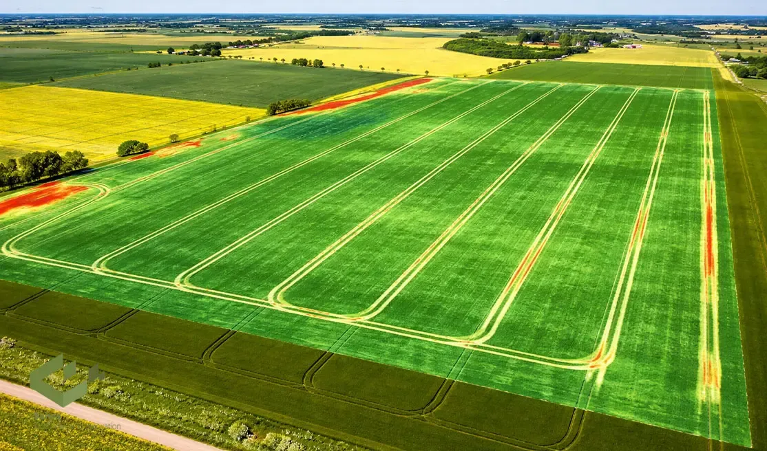
Instead of treating field variability as random, GIS allows farmers and agronomists to connect patterns in productivity with patterns in soil properties, elevation, moisture behavior, and crop stress. A systematic review on GIS in agriculture concluded that GIS and remote sensing support evidence-informed decision-making and improve sustainability by helping agriculture move from generalized management toward spatially targeted action.
This is especially important in fields where one limiting factor masks another. A low-yield zone may reflect poor drainage, shallow soil, nutrient imbalance, or repeated stress along a compacted traffic path. GIS does not solve those problems by itself, but it helps reveal where they overlap and which areas deserve priority attention first.
Building useful management zones
For professional users, the main purpose of GIS is not to create attractive maps. It is to define management zones that justify different decisions for seed rate, fertilizer timing, irrigation, or crop protection.
A practical GIS workflow often follows this sequence:
Start with relatively stable layers such as topography, soil texture, pH, and historical yield patterns.
Add current-season layers such as drone imagery, vegetation indices, or soil-moisture readings to capture active variability.
Compare overlapping patterns rather than reacting to a single layer in isolation.
Convert confirmed variability into operational zones for variable-rate treatment, scouting priority, or risk mitigation.
GIS layer | Best decision use |
Soil and pH maps | Supports nutrient planning, fertilization strategy, and long-term soil management. |
Yield history | Helps identify persistent high- and low-performing zones that deserve different management attention. |
Terrain and slope | Supports erosion-risk analysis, runoff planning, and water-management design. |
Drone and satellite imagery | Helps detect in-season stress, uneven vigor, and emerging problem areas early. |
Moisture and irrigation data | Improves water-delivery efficiency and supports more precise irrigation planning. |
Why this improves sustainability
GIS is also valuable because it supports prevention, not just reaction. Reviews on erosion-risk mapping show that combining land use, slope, flow accumulation, and elevation data in GIS can identify vulnerable areas efficiently and support more targeted land-management planning.
The same logic applies to water management. Reviews of GIS in irrigation emphasize that integrating spatial and environmental data improves irrigation planning and helps build more climate-resilient cropping systems.
For growers, agronomists, and ag-service providers, the practical takeaway is clear: GIS delivers the most value when it helps answer a management question, not when it simply adds another map to the dashboard. That is also where Sairone fits naturally into the workflow, because the platform helps turn geospatial layers and drone imagery into crop-health, weed-control, and yield-related decisions that can be acted on in the field.
From Field to Insight: How Sairone Changes the Game
While GIS provides the "where," understanding the "what" is the critical next step. This is where AI-driven analysis platforms make a definitive difference. Sairone, developed by Saiwa, uses advanced machine learning models to process high-resolution drone imagery data and assess crop health, soil conditions, and environmental factors. By converting raw aerial data into targeted, actionable insights, such as weed detection, it enables farmers to intervene precisely, reduce input waste, and make smarter, more sustainable agricultural decisions.
Why It Matters for the Farm
In practical terms, adopting GIS-based systems delivers:
Lower input costs through targeted applications and fewer wasted resources.
Improved yields and crop quality by detecting and correcting issues early.
Stronger sustainability credentials through reduced environmental footprint, more efficient water and chemical use.
Enhanced strategic planning, enabling farms to allocate resources, estimate yields, plan logistics and adapt to climate volatility.
Conclusion
GIS has fundamentally transitioned from a mapping tool to a dynamic decision-making engine in agriculture. Its integration with AI now closes the loop between data collection and practical action on the ground. This synergy doesn't just create smarter farms; it empowers farmers, agronomists, and conservationists to build a more resilient and sustainable agricultural future for everyone.
Note: Some visuals on this blog post were generated using AI tools.
Comments
No comments yet!
Table of Contents
No headings were found on this page.