Projects
Develop Cutting-Edge AI Solutions to Tackle Complex Challenges
Businesses rely on Sairone to deliver powerful AI solutions for their toughest challenges.
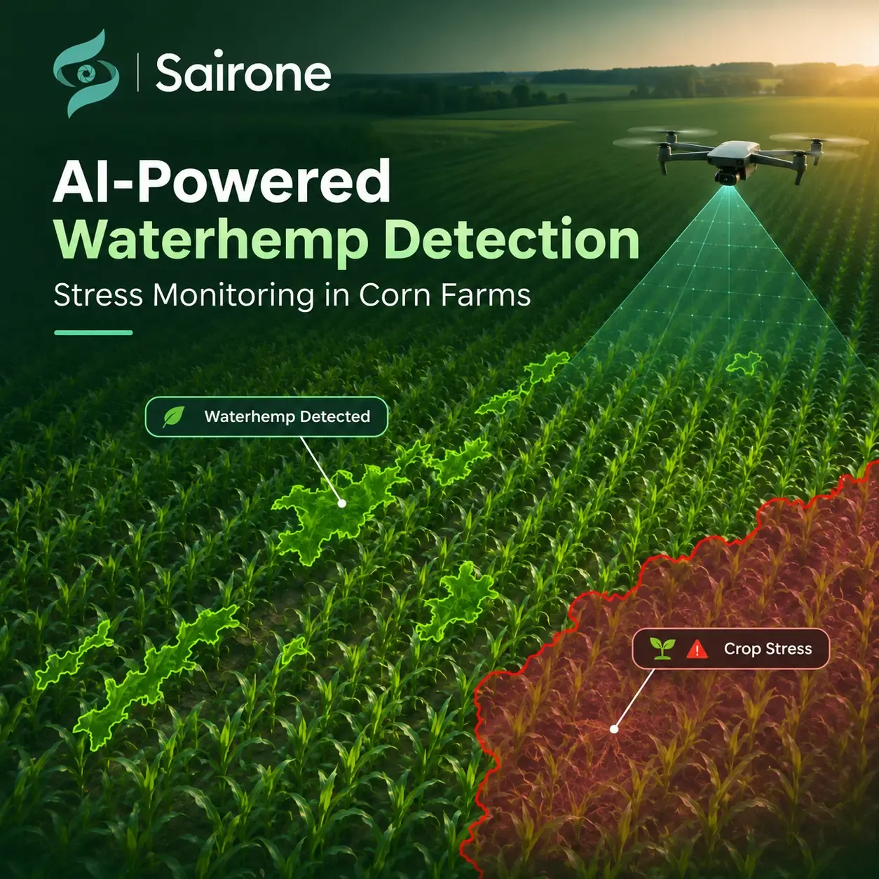
AI-Powered Waterhemp Detection and Stress Monitoring in Corn Farms
Since 8/25/2025 till 6/1/2026
Explore Saiwa’s AI-powered waterhemp detection project using drone imagery and semantic segmentation to identify weeds and monitor corn crop stress.
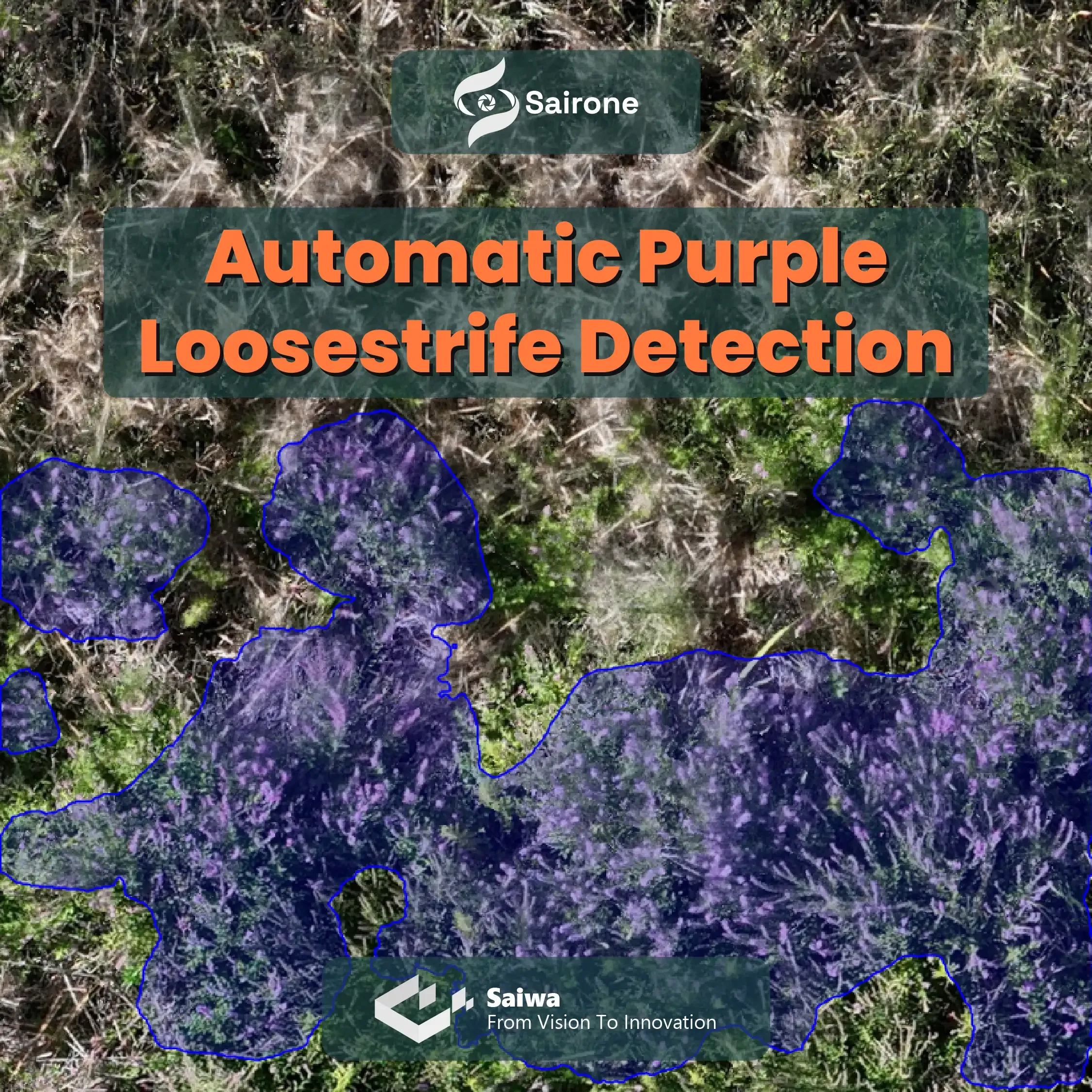
Automatic Purple Loosestrife Detection with AI-Powered Semantic Segmentation
Since 2/1/2026 till 2/28/2026
Discover how Saiwa built a custom computer vision model that automatically detects and maps Purple Loosestrife infestations from high-resolution aerial imagery, deployed as an operational service on Sairone.
A Collaboration with
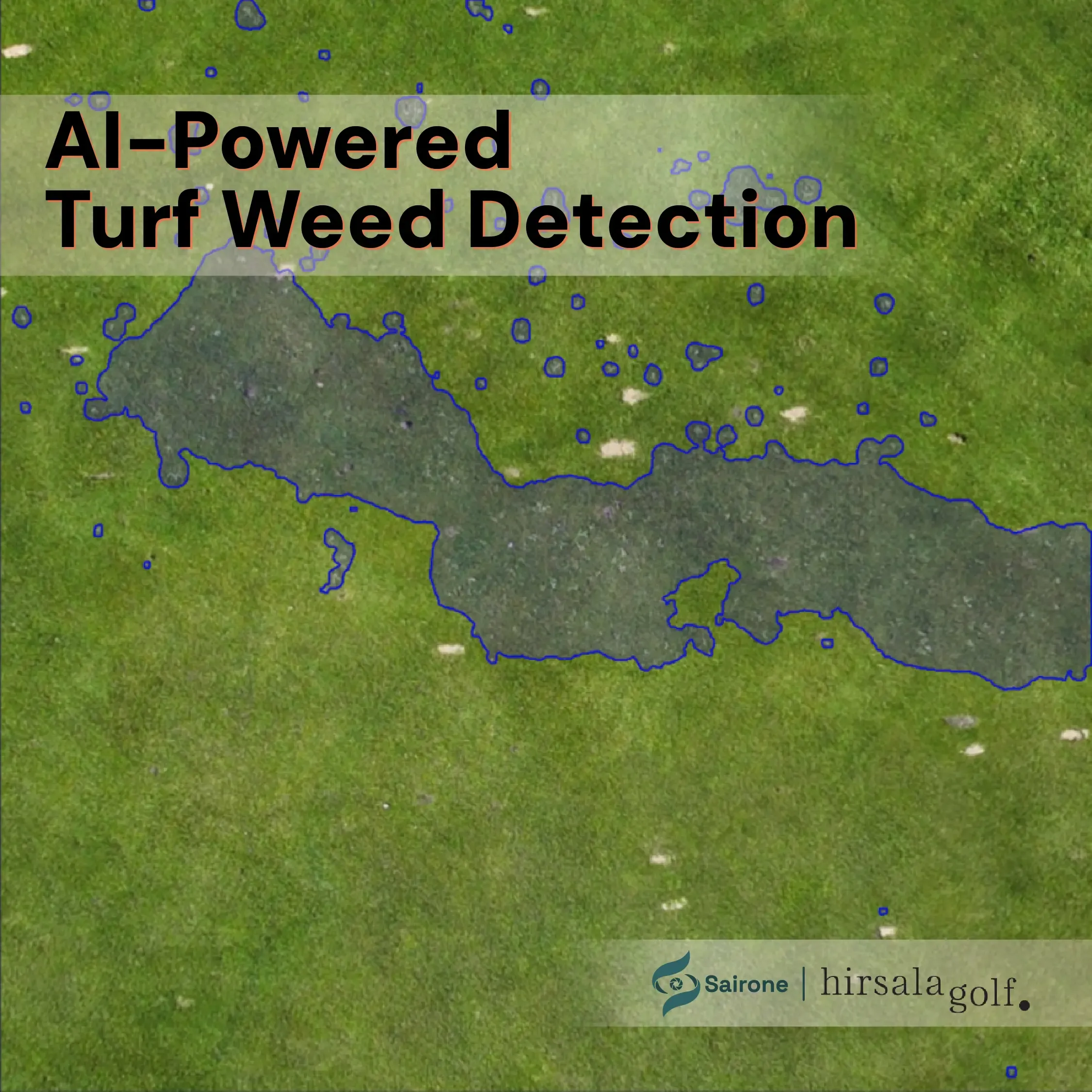
Hirsala Golf, FinlandAI-Powered Turf Weed Detection for Hirsala Golf
Since 7/2/2026
Discover how Saiwa developed an AI-powered turf weed detection solution for Hirsala Golf, using aerial imagery and computer vision to identify and map weed-affected areas across golf-course turf and support more targeted, data-driven weed management.

A Collaboration with
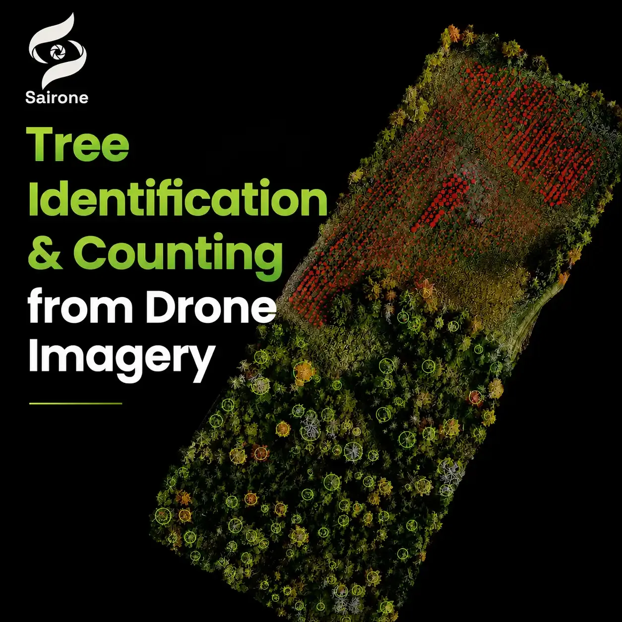
Windward DronesAI-Powered Tree Identification & Counting from Drone Imagery
Since 1/1/2026 till 2/28/2026
Saiwa collaborated with Windward Drones to develop an AI-powered solution that automatically identifies, counts, and maps individual trees from high-resolution drone imagery. By combining advanced computer vision with aerial data collection, the system transforms thousands of images into accurate, geo-referenced forestry insights in just minutes. The solution helps forestry professionals, landowners, and environmental organizations streamline inventory management, monitor large landscapes more efficiently, and make faster, data-driven decisions with detailed visual reports and spatial analytics.