Export to JDOC: Take Your Agricultural Insights from Atlas to the Field
Fri Sep 04 2026
Fri Sep 04 2026
Detecting weeds is only the beginning.
With Sairone’s Weed Control solution, you can identify weeds across your field using drone imagery and bring those results into Sairone Atlas.
In Atlas, you can combine your detection results with your field boundary to get a clear visual understanding of where weeds are distributed across the field.
From there, you can organize detections into clusters and treatment zones, helping turn raw detection data into actionable treatment information.
But insights are most valuable when they can become part of the workflow in the field.
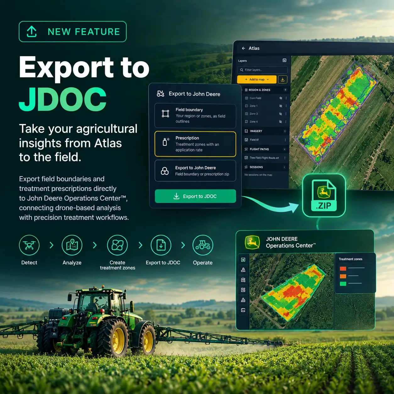
We’re introducing Export to JDOC, a new Atlas feature that allows you to export your field boundaries and treatment prescriptions for use with John Deere Operations Center™ .
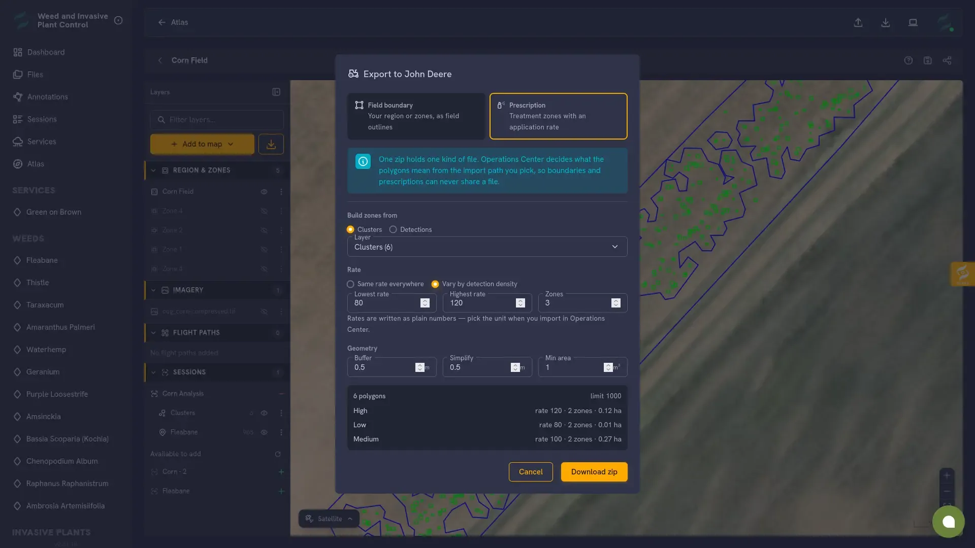
With the export workflow, you can select what you want to take from Atlas:
For prescriptions, Atlas can build treatment zones from your clusters or detections, allowing you to translate the distribution of weeds into variable treatment areas.
The exported data can then be imported into John Deere Operations Center™ and used within your existing precision agriculture workflow.
Detect → Analyze → Create Treatment Zones → Export to JDOC → Operate
Export to JDOC helps bridge the gap between drone-based analysis and field operations, allowing information generated from aerial data to move beyond analysis and into treatment planning.
Export to JDOC is now available in Sairone Atlas.
If you use Sairone for agricultural detection and analysis and work with John Deere Operations Center™, you can start using the new export workflow in Atlas.
We’re continuing to build Atlas around practical agricultural workflows—helping turn geospatial data and AI-powered insights into information that can be used where it matters: in the field.