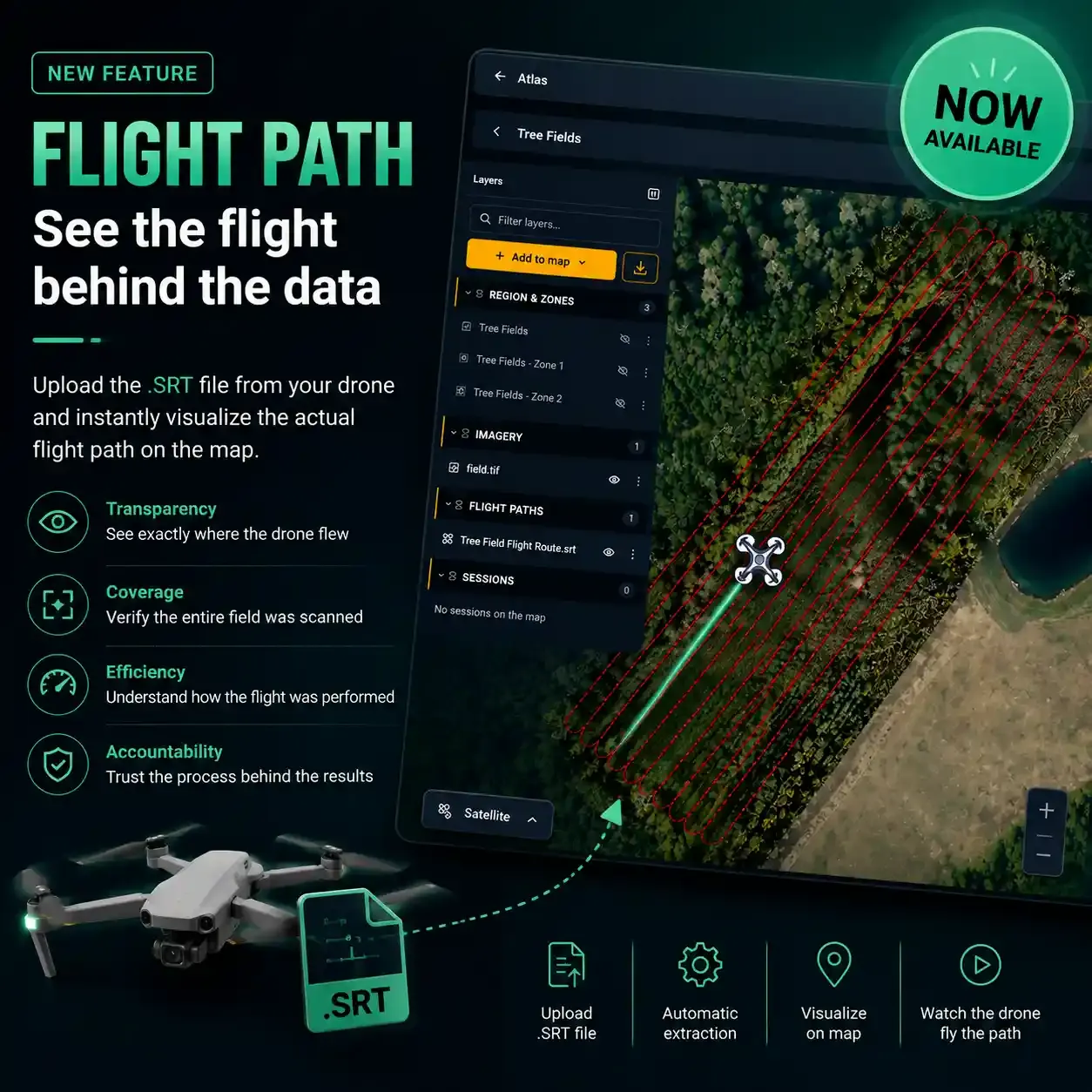
Sairone Atlas Flight Path: See the Flight Behind the Data
Fri Sep 04 2026
Fri Sep 04 2026
Drone imagery can tell you what was captured, but understanding how it was captured can be just as important.
Today, we’re introducing Flight Path, a new feature in Sairone Atlas designed to make drone data collection more transparent and easier to understand.
With Flight Path, you can upload the .SRT file generated by your drone, and Sairone automatically extracts the flight information and visualizes the drone’s actual trajectory directly on the map.
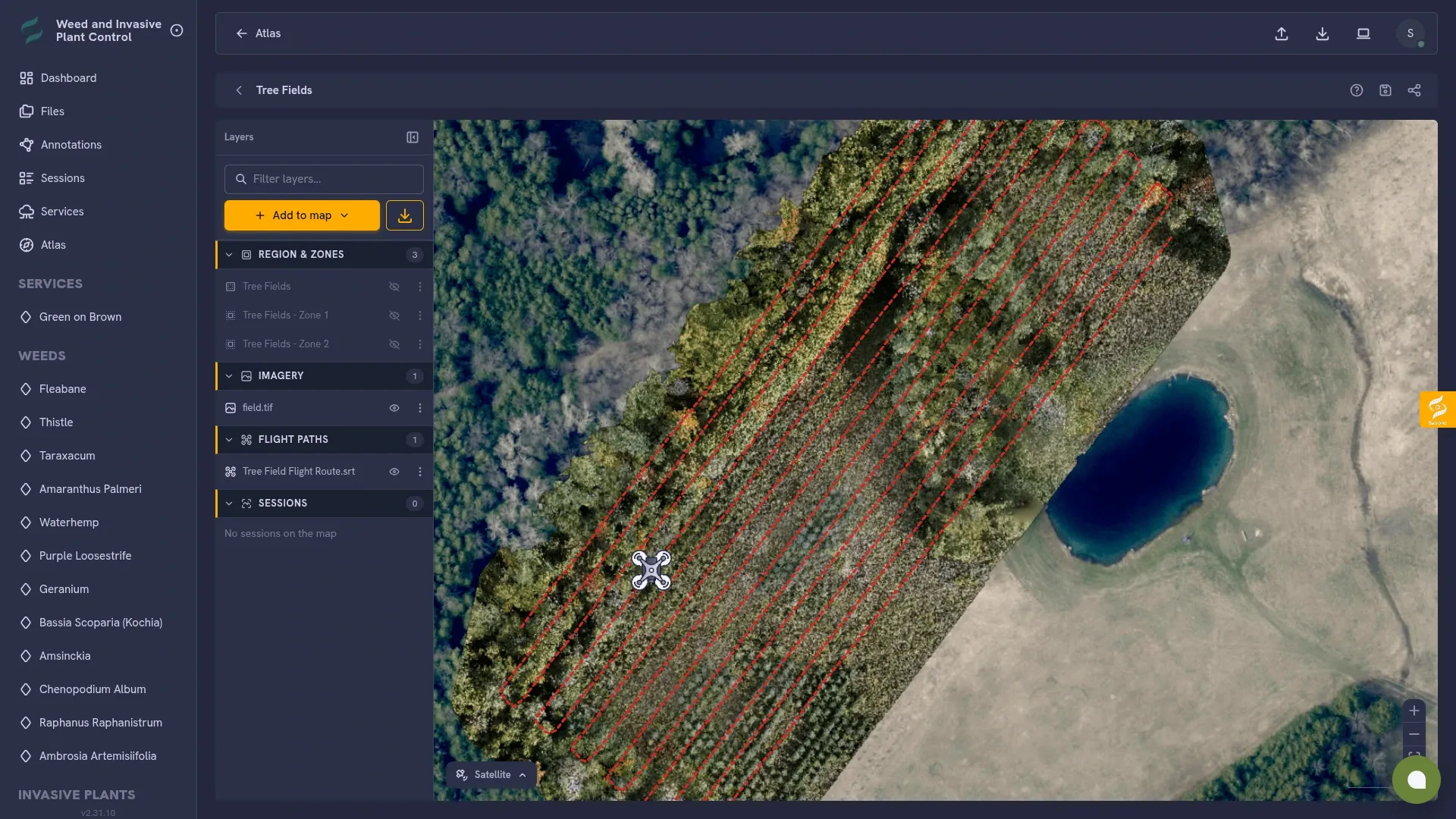
Once the flight path is loaded, you can see the drone’s route across the field and follow its movement on the map. The drone is animated along the recorded trajectory, giving you a clear visual representation of how the flight was performed.
See where the drone actually flew
Understand the relationship between the captured data and the flight that produced it.
Verify coverage
Get a clearer picture of how the field was covered during the flight.
Understand the process
Go beyond the final imagery and see the flight behind the results.
Build greater trust
Having visibility into the data collection process makes drone-based analysis more transparent and easier to validate.
Flight Path is now available for use in Sairone Atlas.
If you already use Atlas for your drone and agricultural data, you can start exploring your flight paths by adding an SRT file from your drone.
We’re continuing to improve Atlas and build tools that make geospatial and drone data easier to understand, verify, and use.
See the flight. Understand the data. Trust the process.