Aug 24, 2026
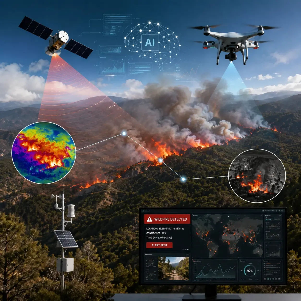
AI Takes Wildfire Detection to the Next Level with Satellites and Drones
Discover how the FireSat constellation and AI-driven drones are revolutionizing emergency response by detecting wildfires while they are still small, dramatically reducing response times and saving lives.
- Research and Breakthroughs
More from the newsroom

AI in Agriculture Market Expected to Reach $24.55 Billion by 2035
Artificial intelligence is transforming agriculture at an unprecedented pace. A new market report forecasts the industry will grow from $2.78 billion in 2025 to $24.55 billion by 2035, fueled by climate challenges, labor shortages, and the rising demand for smarter farming technologies. Discover the key trends driving this remarkable growth.
Artificial IntelligenceDronesAgricultureRead more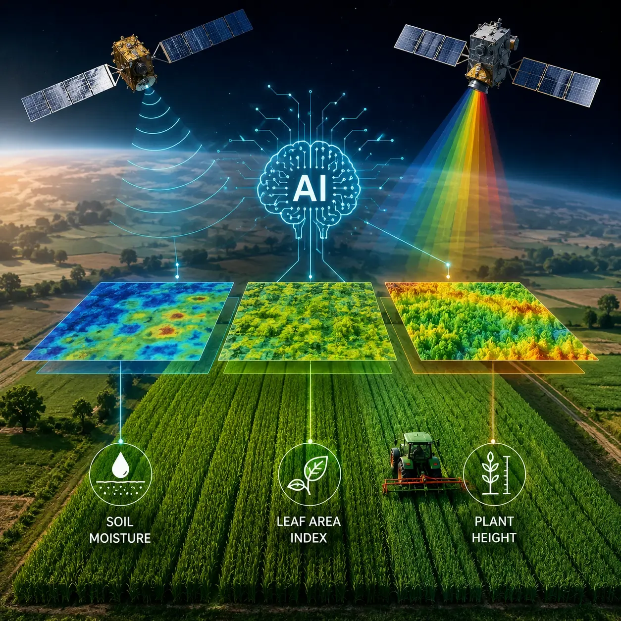
New AI Transformer Model Enhances Crop Monitoring with Satellite Data
A newly developed AI model combines radar and optical satellite imagery to improve crop monitoring accuracy, offering new possibilities for precision agriculture and data-driven farm management.
Artificial IntelligenceRemote SensingPrecision AgricultureRead more
US May Block New DJI Imports After Dec 23
US may bar imports of new DJI drones and gear after Dec 23 unless a mandated security audit occurs.
Artificial IntelligenceDronesDJIRead more
OCELI Project Wraps Up: AI-Bee Collaboration for Sustainable Farming
How bees and AI teamed up to protect pollinators and make farming more sustainable.
Artificial IntelligenceBee MonitoringPollinator HealthRead more
Hyperspectral Imaging Unveils Hidden Soil Pollutants
Discover how hyperspectral imaging uncovers hidden soil pollutants, transforming environmental monitoring and pollution control.
Remote SensingHyperspectral ImagingSoil PollutionRead more
Channel 4 Makes TV History with Britain’s First AI Presenter
Channel 4 shocks viewers with Britain’s first AI TV presenter, a digital anchor that blurs the line between human journalism and machine realism.
Artificial IntelligenceChannel 4AI PresenterRead more
Comments
Be the first to share your thoughts
No comments yet
Start the conversation by sharing your thoughts