Oat Stubble After Harvest: Where Is Targeted Weed Control Worth It?
Identify where targeted weed control in oat stubble is worth the cost by assessing patch distribution, detection quality, drone limits, and resistance risk
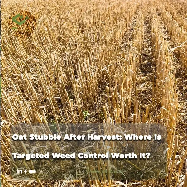
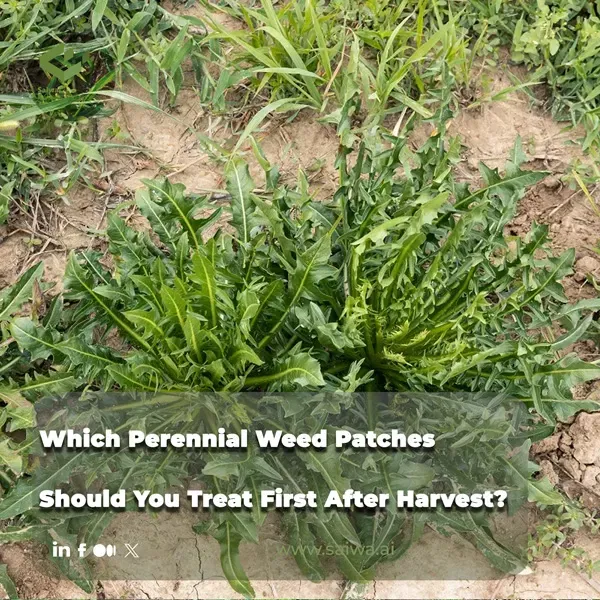
Oat stubble often looks uniform from the cab, yet weed pressure is rarely uniform on the ground. Volunteer cereals, annual grass weeds, and late-emerging broadleaf weeds can be concentrated in patches, field margins, tramlines, or areas where the crop canopy was less competitive. The commercial choice is whether to blanket-spray every hectare, target mapped green plants, or use a mixture of approaches that protects the following crop without paying to treat largely clean ground.
Targeted weed control earns its place when mapped weed distribution, application accuracy, and herbicide effectiveness align. It loses value when weeds cover much of the field, when low detection sensitivity creates seed-producing escapes, or when the full costs of imagery, equipment, calibration, and training outweigh the avoided herbicide. Oat stubble offers a practical green-on-brown setting for optical or imagery-led detection, but a sensor output is only as useful as the agronomic program behind it.
Weed Distribution and Post-Harvest Treatment Opportunity in Cereal Stubble
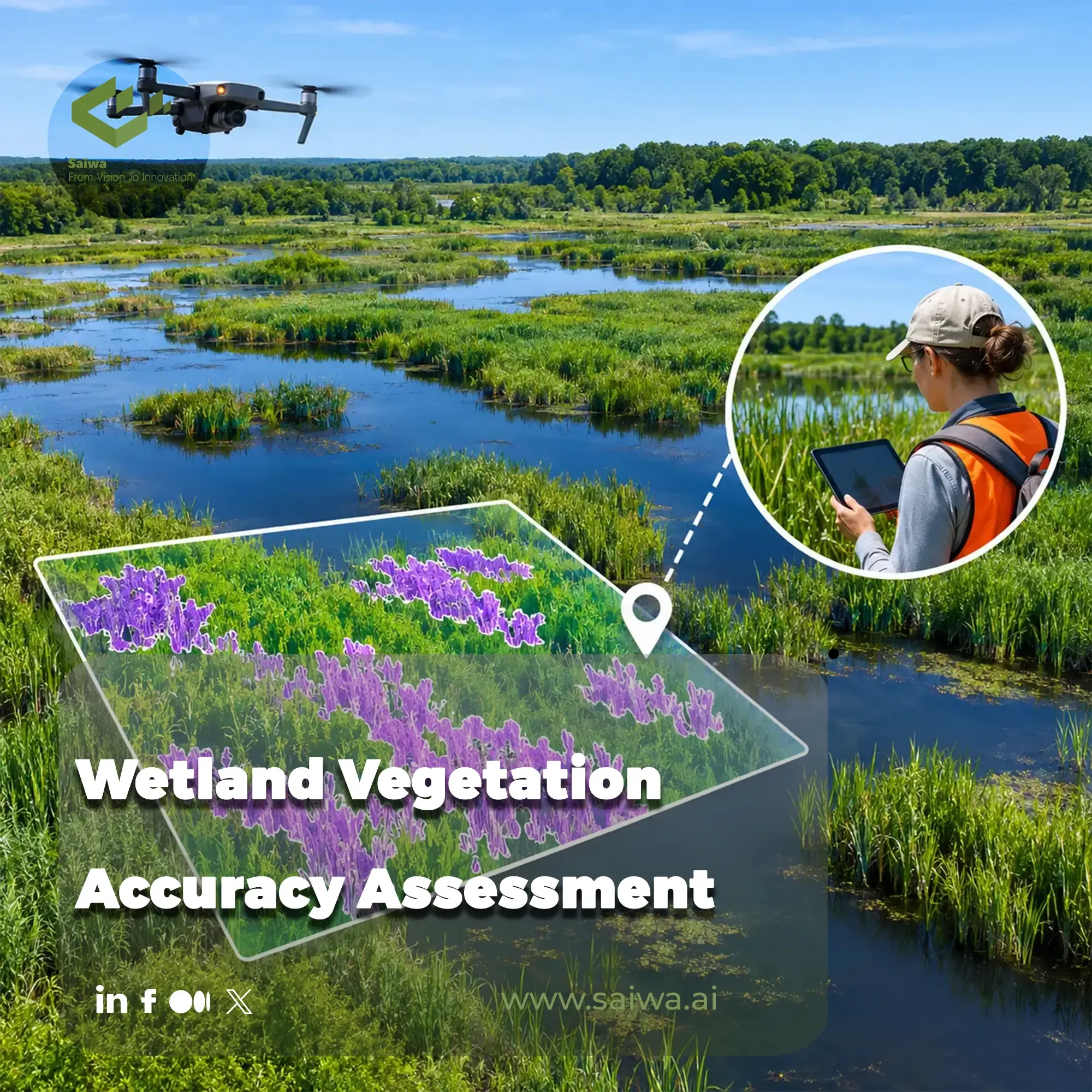
Weed distribution in small-grain fields is highly variable and often clumped. A whole-field average can therefore conceal patches that deserve immediate action as well as areas with little treatment value. High-resolution imagery from drones or aircraft can identify areas of interest for follow-up scouting, while field counts and species identification remain necessary for a realistic assessment.
Spatial Weed Clumping and Field-Scouting Challenges
A systematic walk remains a reliable grounding method. The UC Integrated Pest Management program recommends examining the whole field, visualizing a one-square-yard area, recording weed abundance along with species, size, or growth stage, and repeating this through a W-shaped field pattern. That approach is designed to avoid the misleading confidence that comes from judging a field at one gateway or one representative-looking point.
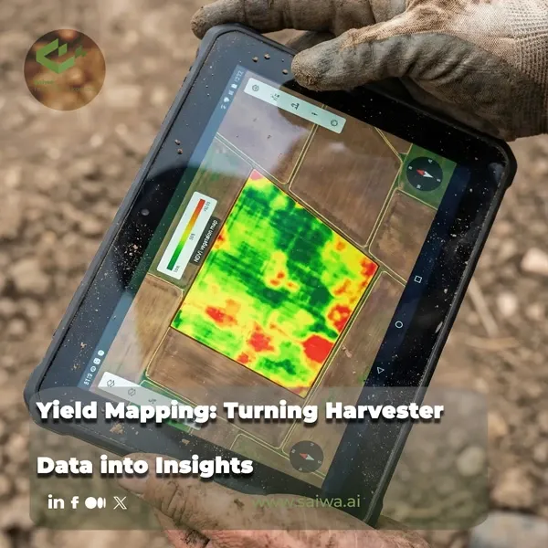
Remote imagery can make the scouting sequence more efficient by showing where variability is concentrated. In oat stubble, a weed map can help distinguish a narrow set of patches from broad green cover before deciding whether targeted spraying is operationally realistic. It can also direct attention to fence lines, ditches, rights-of-way, and other uncultivated areas that function as nearby sources of infestation.
Post-Harvest Weed Regrowth and the Fall Treatment Window
After harvest, treatment timing depends on the weeds present, their active growth, and the planned crop sequence. UC IPM notes that managing weeds before planting includes field preparation, control of nearby noncultivated areas, and cleaning combines, forage choppers, and tillage equipment before entering or leaving fields to reduce long-distance movement of weeds. A stubble field that is mapped promptly can support these actions before a new crop is established.
Fall has a separate resistance-management role for wild oats. Barley Bin reports that resistant wild-oat populations in Saskatchewan have fewer postemergence options because resistance to Group 1 and Group 2 herbicides continues to evolve. It identifies fall-applied soil granular herbicides in Group 3, including trifluralin, and Group 8, including Avadex or Fortress, as options intended to improve consistency and reduce reliance on the overused Group 1 and Group 2 modes of action.
Agronomic Insight: A target zone should be defined by weed distribution and future weed risk, not simply by the visible amount of green biomass. Accurate species identification and crop-rotation planning determine whether any mapped zone can be treated safely and effectively.

Targeted Application Technologies and Herbicide-Reduction Evidence
Precision spraying covers several distinct technologies. GPS-linked section control and pulse-width-modulated nozzles reduce overlap and enable variable rates across a boom. Prescription-based variable-rate application uses weed maps or drone and satellite imagery to alter dose spatially. Sensor- and camera-based spot spraying detects green material and actuates individual valves only where treatment is required.
Sensor-Based Spot Spraying and Variable-Rate Application
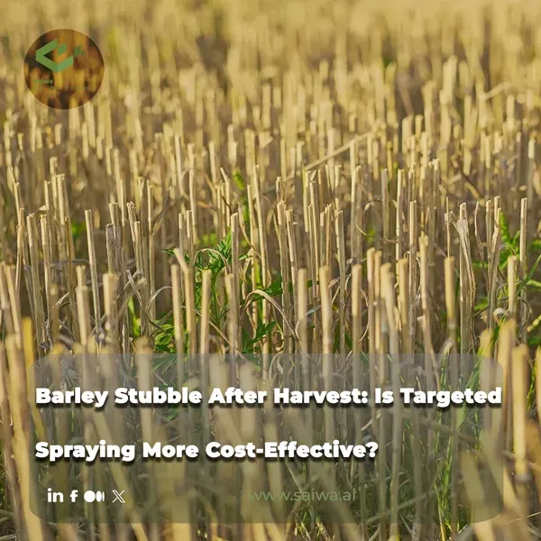
Green-on-brown systems detect green weeds against soil or crop residue, a condition commonly present in post-harvest oat stubble. Green-on-green sensing works within a living crop canopy and is more difficult because crop and weed material share a vegetative background. The distinction matters: an oat-stubble map may be relatively useful for identifying green plants, while species-level diagnosis and treatment choice still need to be verified before application.
Section control, nozzle control, variable-rate application, and sensor-based spot spraying solve different problems. Section and nozzle control reduce overlap; prescription maps alter rates according to mapped field conditions; and optical or camera systems trigger individual sprays on detected plants or patches. A field operation should select the tool that matches the spatial pattern, not assume that all precision equipment delivers the same result.
Drone-Based Herbicide Application: Payload and Coverage Limits
Spray drones can reach terrain or field areas that ground machines cannot access, and their integration with imaging UAVs can support weed identification, patch delineation, and site-specific herbicide delivery. Their operational limits are substantial. UAVs generally carry 10 to 45 L/ha of carrier volume, compared with 94 to 200 L/ha for ground-based tanks, and tank capacity and battery life restrict the area covered per flight.
Carrier volume affects coverage, deposition, and weed control. In wheat, UAV application at 34 L/ha reduced droplet density on littleseed canarygrass by 63% to 69% compared with a backpack application at 375 L/ha. Ground application at 500 L/ha also achieved greater droplet deposition than UAV applications at 30 or 45 L/ha in direct-seeded rice. These results are not an argument against UAV treatment. They establish that a drone prescription must be paired with calibration and application parameters that suit the herbicide, target weed, and canopy.
The Reported 30–80% Pesticide-Reduction Range and Its Limits
The Wageningen literature review finds that precision spraying systems often show 30% to 80% herbicide-use reduction, while reductions for other pesticide products vary. It also concludes that efficacy is inconsistent across crops and conditions, comparable economic analyses remain limited, and validated drift and deposition measurements for uncrewed aerial spraying systems are scarce. The reduction range is therefore evidence of potential, not a projected saving for any individual oat-stubble field.
Teagasc describes the same operational qualification: precision sprayers can reduce chemical volumes and off-target exposure while maintaining weed-control effectiveness when used correctly. Initial capital cost, maintenance, operator training, calibration, and agronomic timing remain significant practical considerations. The technology is best incorporated within integrated pest management rather than treated as a standalone solution.
| Application approach | Documented capability or constraint | Management implication |
|---|---|---|
| Green-on-brown spot spraying | Detects green weeds against soil or stubble. | Suits post-harvest detection where green plants contrast with stubble. |
| UAV herbicide application | Typical carrier volume: 10 to 45 L/ha. | Payload and battery limits affect coverage and logistics. |
| Ground application | Typical carrier volume: 94 to 200 L/ha. | Higher carrier volume can improve coverage and deposition in some settings. |
| Precision-spraying literature | Herbicide-use reductions often range from 30% to 80%. | Savings require field-specific validation of efficacy and economics. |
Weed-Control Effectiveness Versus Economic and Operational Constraints
Avoided herbicide volume has little value if the program delivers poor control. Detection accuracy, spray deposition, swath overlap, droplet size, speed, flight height, and weather influence whether a target receives a biologically effective dose. These variables become especially important when a target system is used to leave parts of a field untreated.
Detection Accuracy Versus Spray Deposition Quality in UAV Systems
A weed-recognition system influences all downstream decisions. UAV imagery can support early detection, spatial mapping, and species-specific management, but performance depends on the crop-weed combination, growth stage, environmental conditions, image resolution, flight altitude, and quality of three-dimensional reconstruction. In one cited rice example, a vegetation-index method produced 93% weed-detection accuracy, while a different model using canopy height and red-band reflectance showed species-specific accuracy from 62% to 95%.
Detection is only the first threshold. UAV spray patterns are commonly bell shaped, concentrating deposition in the middle of the swath and reducing coverage at its edges. Adjacent passes need adequate overlap to control in-swath deposition variability. Proper calibration includes verifying nozzle or atomizer flow and field-testing the effective swath; the review estimates rate verification at roughly 10 to 15 minutes and field testing at 30 minutes to two hours, depending on the method and adjustments required.
Capital Cost, Training, and the Role of Integrated Weed Management
Teagasc lists capital cost, maintenance, operator training, calibration, and good agronomic timing among the factors that determine whether precision spraying is effective. These costs should sit inside the treatment comparison. A targeted system that reduces active ingredient but adds substantial fixed cost may be less attractive on a small, uniformly infested field than on a large operation with repeated use across variable fields.
Integrated weed management broadens the decision beyond the sprayer. UC IPM combines cultural, mechanical, and chemical methods and emphasizes that a vigorous crop produced through sound agronomy is the strongest defence against weed competition. Crop rotation can expand tillage, cultivation, and herbicide options, while cleaning equipment and managing nearby noncropped areas reduce movement of weeds among fields.
Economic Decision Framework for Prioritizing Targeted Control
Targeted control is most plausible where pressure is spatially concentrated and the cost of treating clean stubble is material. The manager needs to compare the cost of mapping and executing a prescription with the cost of a whole-field pass, then test whether a targeted setting will leave enough escapes to raise future seedbank or resistance costs. The following field criteria provide a practical filter:
- Map the proportion and position of green weed cover before defining treatment scope
- Confirm the weed species, size, growth stage, and likely resistance status
- Compare the mapped treatment area with broadcast product, water, application, and refill requirements
- Include equipment ownership, imagery, calibration, labour, maintenance, and respray costs
- Check crop-rotation restrictions before selecting a fall residual or pre-seed product
Economic-Threshold Sensitivity to Crop Competitive Density
Economic thresholds are not independent of crop competitiveness. An experiment on wild oat in winter wheat tested 300, 400, and 500 wheat plants/m² alongside wild-oat densities of 0, 30, 50, and 70 plants/m². Higher wheat density reduced the estimated initial percentage yield loss per unit weed density, indicating lower weed competitiveness in denser wheat stands; however, density of 500 plants/m² also reduced potential yield in weed-free conditions through severe intraspecific competition.
The study found that the wild-oat economic threshold increased as wheat density rose, implying that a more competitive crop can tolerate a higher weed population before chemical treatment becomes economically justified. This is winter-wheat evidence, but it demonstrates the decision principle relevant to cereal rotations: a treatment threshold depends on crop density and competition, not merely a weed count or a sensor-detected pixel.
Fall-Applied Full-Field Herbicides as a Resistance-Management Alternative
Targeted spraying is not the only route to lower future weed pressure. In resistant wild oats, Barley Bin identifies fall-applied granular Group 3 and Group 8 herbicides as a break from Group 1 and Group 2 reliance. It recommends application after October 1, once soil temperatures have cooled, even crop-residue distribution for soil contact, and a heavy-harrow pass to support performance and incorporation.
A full-field residual program can be economically rational when resistance risk or weed distribution requires consistent soil coverage across the field. Crop safety and rotation remain constraints. UC IPM notes that trifluralin must be incorporated no deeper than 2 inches, needs adequate moisture for reliable results, and can affect the rotation because several small-grain rotation crops are sensitive to residue. The comparison is therefore not targeted versus broadcast in the abstract. It is which program best controls the present and expected weed population without imposing unacceptable future restrictions.
Turning Post-Harvest Oat Stubble Imagery into Cost-Efficient Spray-Zone Decisions with Sairone
Sairone provides a data workflow for agronomists, agricultural service providers, and cooperatives working with field imagery and georeferenced information. It uses AI, computer vision, machine learning, and geospatial analysis to support weed and invasive-plant control alongside wider agriculture and environmental workflows.
For oat-stubble decisions, the platform can support the information stage: organizing imagery, locating and reviewing detections, visualizing spatial patterns, and exporting data for field planning. Product selection, resistance diagnosis, application timing, and the choice of full-field or targeted coverage remain agronomic decisions that must reflect validated field observations and crop-rotation constraints.
Processing Drone and Satellite Imagery for Scalable Field Analysis
Sairone processes high-resolution drone imagery, field images, satellite imagery, orthophotos, videos, and georeferenced datasets. It supports GeoTIFF, TIFF, JPEG, PNG, video, and orthomosaic inputs, and can generate orthomosaics from video. Its cloud environment supports storage and organization of imagery, inputs, processed outputs, folders, and large datasets.
Annotation tools provide polygons, bounding boxes, class definitions, customized colours, and multi-class labeling. These functions support dataset preparation and model refinement where an organization needs a workflow adapted to its imagery sources, target objects, and field-management units.
AI-Driven Weed Detection and Density Mapping to Flag High-Risk Areas
Sairone Weed Control detects, maps, and analyses weeds and invasive plants in agricultural fields and natural environments. Its documented species include Taraxacum, Amaranthus tuberculatus, Amaranthus palmeri, European Water Chestnut, Water Soldier, Fleabane, and Thistle. Detections can include a confidence score and precise geographic coordinates.
Users can review, correct, and approve AI-generated results through a validation workflow before final use. Validated detections transfer to Atlas, the platform’s geospatial environment for visualizing distributions, analysing infestation patterns, producing treatment maps, and using high-resolution aerial or satellite imagery overlays. This separates the image-derived signal from the approval step needed before a treatment zone is adopted.
GIS-Compatible Outputs for Defining Targeted Treatment Zones
Sairone produces GIS-ready results in GeoJSON, Shapefile, KML, and CSV formats. These formats can be transferred into geospatial and operational systems used for spatial analysis and precision-spraying workflows. A mapped patch can remain traceable from the detection layer through discussion of treatment boundaries and operational execution.
Atlas includes detection-clustering algorithms that group identified weeds into manageable treatment zones. A team can assess these zones against the share of the field that needs treatment, the cost of a targeted pass, the practical precision of the equipment, and the consequence of missed plants before deciding whether targeted spraying remains more cost-effective than broad coverage.
Custom Models and White-Label/API Integration for Enterprise Workflows
Saiwa develops or customizes AI models around the client’s needs and the type of data available. This supports workflows in which weed detection, mapping, reporting, and field boundaries must align with an organization’s existing data and service process.
Sairone is available as a cloud platform, through customized API integration, and as a fully customized White Label platform. API integration can connect its services with existing client infrastructure, while White Label deployment can be structured around a customer’s brand, needs, and workflow. Saiwa also describes BaaS and a multi-tenant structure for agritech organizations seeking outsourced product-development capabilities.
Conclusion
Targeted weed control in oat stubble is worth pursuing where actual weed distribution creates a meaningful gap between the area that needs treatment and the total field area. Green-on-brown sensing, drone imagery, prescription maps, and nozzle-level control can reduce applied volume, but reported savings must be weighed against detection reliability, application quality, technology cost, and the biological consequence of escapes.
The stronger program combines spatial information with weed identification, rotation planning, resistance management, and integrated crop practices. Full-field residual treatment may remain the better option when weed pressure is broad or soil coverage is essential; targeted treatment is better suited to validated patches that can be treated precisely. Sairone’s imagery processing, review workflow, Atlas visualization, clustering, and GIS-ready outputs can support this field-level decision process without replacing the agronomic judgement that determines the final spray plan.
References (2)
About the team
Amirhossein Komeili
I’m an AI Developer specializing in Computer Vision and deep learning. At Saiwa, I work on developing and optimizing intelligent systems that apply advanced image analysis to address real-world challenges, particularly in agriculture. My focus is on creating practical, high-impact AI solutions that enhance efficiency, accuracy, and decision-making across diverse applications.
Share this article
Help others discover this content
Comments
Be the first to share your thoughts
No comments yet
Start the conversation by sharing your thoughts