



Invasive Plant Identification – A Modern Guide to Protecting Landscapes
Invasive Plant Identification with AI helps detect harmful species early, safeguard crops, and streamline land management for sustainable agriculture.
Written by Amirhossein
Reviewed by Boshra
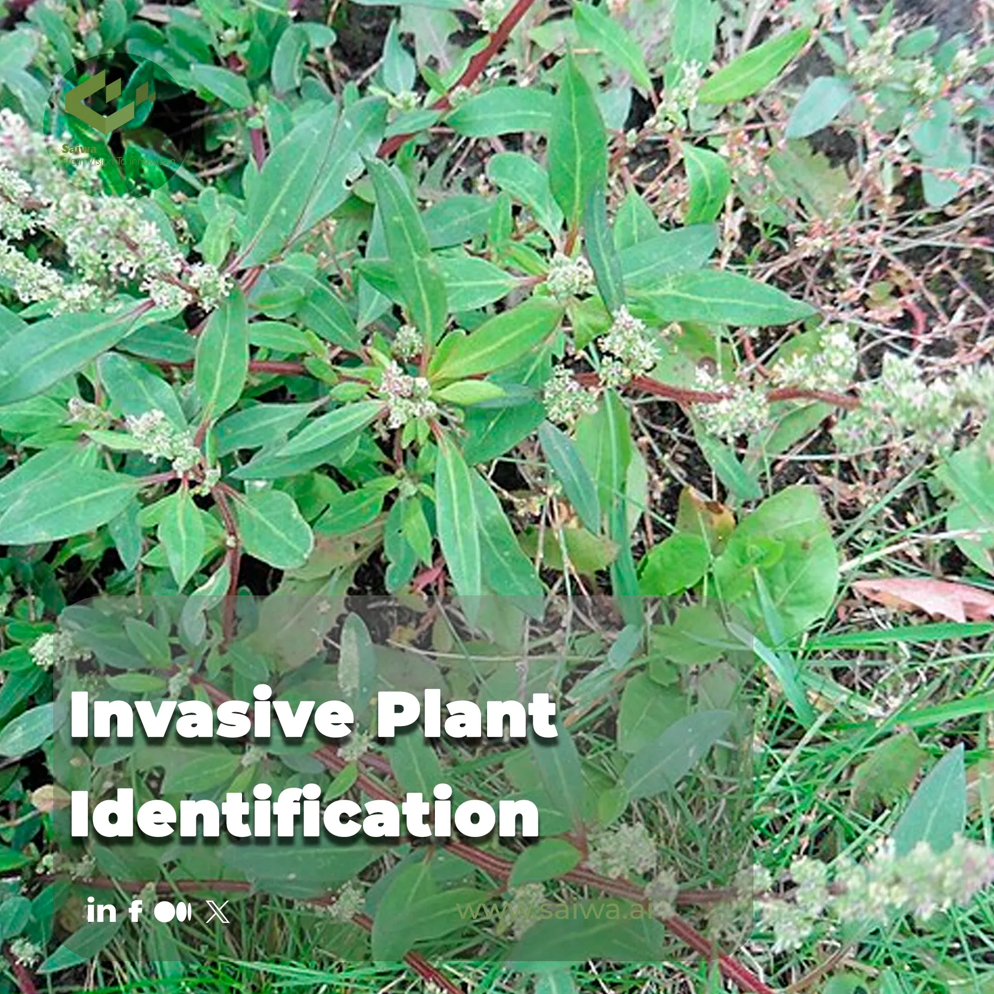
The unchecked spread of invasive alien plants is not just an ecological nuisance; it's a critical threat to agricultural productivity and global biodiversity. These aggressive species can decimate crop yields, degrade soil health, and disrupt local ecosystems, costing the agricultural industry billions annually.
The first line of defense is timely and precise identification. This is where advanced platforms like Saiwa’s Sairone are setting a new standard, transforming our ability to protect valuable landscapes.
This guide delves into the primary botanical threats facing modern agriculture, outlines the limitations of conventional methods, and showcases how AI-powered solutions are creating a more sustainable and efficient future for land management.

How Invasive Plants Spread and Why Early Detection Matters
Invasive plants spread quickly by wind, water, animals, and human activities such as farming and trade. Once these plants are established, they can overtake native species, disrupt ecosystems, and reduce agricultural productivity. Early detection is crucial because small infestations are easier and cheaper to control, which prevents widespread ecological and economic damage.
Common Invasive Species That Threaten Agriculture
To effectively protect our agricultural lands, it's crucial to recognize the key adversaries. Several species pose a significant and direct threat to both crops and natural habitats. The following are among the most persistent and damaging:
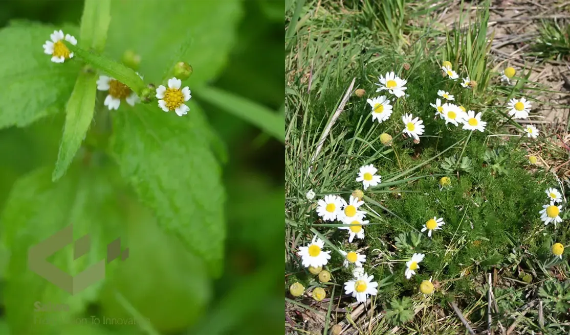
Gallant Soldier – An aggressive annual weed known for severely impacting maize, potato, and soybean yields.
Chamomile (scentless) – A formidable competitor to cereal crops, this weed is a prolific seed producer, with a single plant capable of generating prolific quantities.
Daisy Fleabane / Canadian Fleabane – This species is particularly troublesome due to its increasing resistance to common herbicides, including glyphosate.
Goosefoot – Highly competitive and adaptable, it can cause yield losses in corn and serves as a host for various plant diseases.
European Water Chestnut – An aquatic invader that forms dense floating mats, obstructing waterways and harming native aquatic life.
Geographical and Ecological Concerns
Invasive plants don't spread evenly. Climate, soil, and local ecosystems can create hotspots where infestations grow quickly and threaten the biodiversity of the area. Seasonal changes further complicate identification because leaves, flowers, and growth patterns shift throughout the year. Even advanced AI detection systems may miss critical outbreaks without region-specific adaptation, allowing invasive species to become established before intervention is possible. This highlights the importance of adapting AI tools to local ecological conditions to ensure timely and effective management.
A Field-Ready Workflow for Invasive Plant Identification
Accurate invasive plant identification should be treated as a structured process, not a quick visual guess. The current article already notes that seasonal changes, lookalike species, and local ecological variation can complicate recognition, which is exactly why early detection programs depend on consistent field evidence rather than memory alone.
This matters because misidentification wastes time, delays response, and can lead to the wrong treatment strategy. A review of invasive plant management emphasizes that early detection and integrated management are essential once invasive plants begin spreading, especially when eradication is still realistic for small or isolated infestations.
Start with repeatable visual evidence
The first step is to document the plant in a way that can be reviewed later. EDDMapS guidance explains that useful reports should include photographs, accurate location data, and as much supporting information as possible because those details help expert verifiers confirm the record and improve later management use.
In practical terms, that means field teams should capture more than a single overhead photo. A reliable record usually includes leaf shape, stem structure, flowers or seedheads if present, growth habit, surrounding habitat, and the approximate size of the infestation.
This is especially important for invasive plants that resemble native or non-invasive species during part of the season. The current article already highlights that many invasive plants shift appearance as they mature, which is why images from only one stage may not be enough for confident identification.
A better approach is to build a small evidence set from the same patch, not a single image from a single angle.
Confirm the pattern, not just the plant
Identification should also include context. USGS guidance on early detection stresses active, directed monitoring, and that principle is useful because invasive plants are often recognized not only by morphology, but by how they spread across a site.[2]
For example, a scattered edge infestation, a dense monoculture patch, or a fast-expanding corridor along water or disturbed ground may strengthen the case that the plant is invasive rather than incidental.[2]
What to document | Why it improves identification |
Close-up photos of leaves, stems, and flowers | Supports species-level verification and reduces confusion with lookalikes. |
GPS location or mapped polygon | Makes the record usable for verification, revisits, and spread tracking. |
Infestation size and density | Helps distinguish isolated sightings from established patches and supports response planning. |
Habitat notes | Adds ecological context that may explain spread pathways and management urgency. |
Why reporting should follow identification
Once a suspicious plant is documented, the next step should be reporting, not just private note-taking. EDDMapS is designed as a fast mapping system for invasive species distribution that allows users to submit location data, images, and infestation details without needing GIS software.
That makes reporting part of the identification workflow itself. It creates a verified record, improves regional awareness, and supports follow-up treatment rather than leaving the observation isolated in a field notebook.
Where AI improves the workflow
This is where AI becomes genuinely useful. The article already explains that drone imagery and deep learning can recognize morphological traits at scale, and Sairone’s weed and invasive plant control platform adds cloud-based analysis, incremental learning, and GIS-ready outputs such as GeoJSON, Shapefile, KML, and CSV.
That means AI does not replace good identification habits. It strengthens them by scaling image review, reducing false positives over time, and turning confirmed detections into mapped outputs that crews can act on quickly.
The practical takeaway is simple: effective invasive plant identification depends on evidence, context, and verification. When those steps are combined with AI-assisted mapping, land managers can move from uncertain sighting to confident action much faster.
The Challenge: Why Traditional Methods Aren’t Enough
While awareness is growing, the tools traditionally used to combat these threats are falling behind the pace and scale of invasions. The effectiveness of legacy approaches is constrained by several factors:
• Manual surveys are incredibly time-consuming, costly, and susceptible to human error. Teams must physically inspect large areas, which limits coverage and slows response time, allowing invasive plants to establish and spread.
• Delayed response can worsen infestations. By the time plants are detected, they may have already spread extensively, making eradication more difficult and costly.
• Misidentification is common due to seasonal changes in plant appearance and the close resemblance many invasive plants have to native species.
• Tracking the spread of an infestation across large or inaccessible agricultural areas is logistically challenging.
• Data gaps and inconsistent record-keeping hinder long-term management. Traditional approaches often rely on paper logs or infrequent surveys, producing incomplete datasets that prevent accurate modeling of spread and prioritization of interventions.
How AI is Changing Invasive Species Detection
Artificial intelligence is not merely an incremental improvement; it is fundamentally revolutionizing the fight against invasive plants by overcoming the core limitations of traditional methods.
By leveraging sophisticated algorithms and high-resolution data, AI offers a scalable, precise, and rapid solution to a problem that has long plagued agriculture and conservation. The power of this approach lies in its ability to process and interpret vast amounts of visual information with superhuman speed and accuracy. Here’s a closer look at the key technologies driving this change:
Deep Learning and CNNs: At the heart of this transformation are deep learning models, particularly Convolutional Neural Networks (CNNs). These algorithms are trained on extensive image libraries to recognize the unique morphological traits of invasive plants—from leaf shape and texture to flower color—enabling them to distinguish weeds from crops with high fidelity.
Drone-Based Image Acquisition: AI systems are fueled by data from high-resolution drone cameras. Drones systematically capture detailed aerial imagery across vast or inaccessible terrains, providing the granular visual data required for precise analysis and mapping of infestations.
Automated and Efficient Analysis: AI automates the entire process of Weed Detection. Advanced platforms can analyze thousands of images, identify target species, and generate actionable reports in a fraction of the time required for manual surveys, enabling rapid response efforts.
Optimized Algorithms for Performance: The use of lightweight models, such as MobileNet, ensures that these powerful analytical tools are not only accurate but also computationally efficient, allowing for faster processing and deployment in diverse operational environments.
Sairone: AI-Powered Invasive Plant Detection and Crop Monitoring
At the forefront of this technological shift is Sairone, Saiwa’s specialized AI suite for agriculture and environmental monitoring. Sairone integrates advanced AI with drone imagery to deliver actionable intelligence.
The platform automates the analysis of aerial data, identifying invasive species and monitoring overall plant health with unmatched precision. In a landmark project with Ducks Unlimited Canada, Sairone was deployed to detect European Water Chestnut, successfully reducing manual survey time by over 85%.
By processing immense volumes of visual data automatically, Sairone provides land managers with clear, clustered reports of weed populations, enabling highly targeted and efficient treatment plans.
About the team
Continue reading

Crop Yield Estimation - A New Era of Agricultural Insight
The agricultural sector is undergoing a quiet but profound transformation, moving away from intuition-based practices toward data-driven str

Unlocking the Potential of Smart Farming Using Machine Learning
Smart farming using machine learning refers to data-driven agricultural practices that leverage technology to optimize efficiency, sustainab

An Overview of Applications of Computer Vision in Agriculture
Agriculture is still the most important source of food for the world, but it is under a lot of pressure. Climate change, changing weather pa

Sustainable Agriculture Solutions: Eco-Friendly Farming for the Future
Globally, food systems are responsible for roughly one-third of all greenhouse-gas emissions and a large portion of water use and land conve

Deep Learning for Agriculture | Data-Driven Decisions and Increased Efficiency
The foundation of human civilization, agriculture, is facing significant challenges as the global population is projected to reach nearly 10
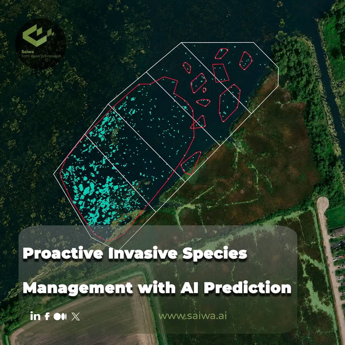
Proactive Invasive Species Management with AI Prediction
Biological invasions move faster than many conventional monitoring programs. Field surveys remain indispensable, but they are costly to repe
Comments
Be the first to share your thoughts
No comments yet
Start the conversation by sharing your thoughts
Share this article
Help others discover this content
Table of Contents
No headings were found on this page.