



AI vs. Field Surveys for Invasive Plant Detection: Accuracy and Cost
Compare AI remote sensing and field surveys for invasive plant detection, including accuracy, cost, scale, operational limits
Written by Amirhossein
Reviewed by Boshra
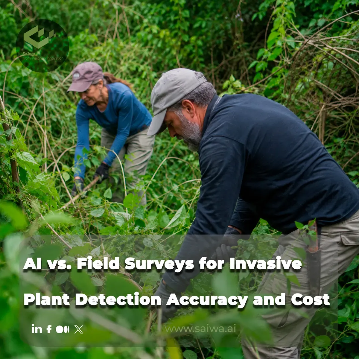
Invasive plant management depends on knowing where target species occur, how widely they are distributed, and how quickly those patterns are changing. Field surveys remain indispensable for ecological interpretation and management decisions, but they can be difficult to expand across large, remote, or heterogeneous areas. AI-assisted remote sensing offers another path: it can classify imagery across broad landscapes and turn spatial observations into map-based management information.
This article examines the practical trade-offs between conventional field surveys and machine-learning detection workflows. It focuses on accuracy, labor and operational costs, landscape-scale coverage, error management, and the role of human validation. It also describes how Sairone applies cloud-based computer vision and geospatial outputs to weed and invasive-plant workflows.
Limitations of Traditional Field Survey Methods
Traditional field surveys establish direct observations of invasive plants. A trained surveyor can inspect individual plants, assess local site conditions, and use contextual knowledge that an image-based model may not possess. This direct observation remains particularly important where species are difficult to distinguish, where management decisions carry agronomic or regulatory consequences, or where an automated result requires confirmation.
However, invasive-species management also requires rapid detection and continuing monitoring. When landscapes are large, complex, or difficult to access, repeat field visits become operationally demanding. Remote sensing is positioned as a more efficient alternative for monitoring invasive plants across these conditions, particularly when management teams need landscape-wide information rather than observations from a limited number of visited locations.
High Labor Costs and Time Constraints
A field survey scales through people, travel, and time in the field. Each additional area generally requires more walking, driving, sampling, and recordkeeping. This can constrain the frequency of monitoring, especially across geographically extensive or remote areas where access itself becomes a substantial part of the operation.
Satellite imagery provides a practical data source for predictive models at landscape scale because it can cover broad areas without requiring surveyors to visit every location. The operational advantage is not that field expertise becomes unnecessary; rather, imagery-based models can concentrate field effort on validation, high-priority infestations, and locations where classification uncertainty is greatest.
Human Error in Manual Species Identification
Manual identification depends on observer expertise and consistent interpretation in changing field conditions. Vegetation can vary by life stage, surrounding cover, and location, while closely related or visually similar species may be difficult to separate. These realities make quality control important in any survey program, whether observations are collected manually or produced through an automated classification process.
AI does not eliminate identification error. Cornell AgriTech reported poor control of common ragweed by vision-guided technologies in New York when that species was not represented in the systems' training algorithms. The implication is operationally important: detection quality depends on the relevance of training data to the weeds, crops, and environments encountered in the field. A system may perform strongly in one context while missing an underrepresented species in another.
Machine Learning Models for Spatial Mapping
Machine-learning models extend invasive-plant detection from point observations to spatial classification. In a Minnesota study, convolutional neural networks were trained to detect leafy spurge (Euphorbia virgata) across a heterogeneous landscape using WorldView-2 and PlanetScope satellite imagery. The study illustrates how model design, imagery characteristics, and seasonal timing collectively affect the quality of mapped outputs.
The strength of this approach lies in its ability to generate spatially explicit information over areas where individual field observations would be slow to collect. Yet imagery alone is not enough. Resolution, spectral bands, temporal coverage, and landscape complexity all influence whether a model can distinguish the target species from surrounding vegetation.
Integrating Remote Sensing with Machine Learning
The Minnesota research compared two satellite-image sources with different trade-offs. WorldView-2 offered high spatial and spectral resolution but was not acquired routinely across space and time. PlanetScope offered lower spatial and spectral resolution but collected imagery daily across the Earth. These differences matter because an invasive-species program may value either detailed single-date observations or repeated temporal coverage, depending on the detection problem.
The WorldView-2 CNN achieved 96.1% accuracy for leafy-spurge detection. A PlanetScope CNN achieved 89.9%, but adding a long short-term memory layer to use phenological information from an image time series raised PlanetScope accuracy to 96.3%. This result shows that repeat observations can compensate for more modest image resolution when seasonal changes provide useful signals for species discrimination.
Evaluating Classification Accuracy Across Landscapes
Accuracy should be interpreted in relation to landscape conditions and the management purpose of the map. In the leafy-spurge study, the most common false positives occurred near actual leafy-spurge populations. For management, this spatial pattern may be less disruptive than false positives scattered far from true infestations because nearby detections can still direct attention toward relevant treatment or verification areas.
The same study found that early- and mid-season periods were especially important in the PlanetScope time series. Green, red-edge, and near-infrared bands also contributed to distinguishing leafy spurge from other vegetation. These findings reinforce a practical lesson: classification performance is not only a property of the algorithm. It also depends on when imagery is captured and which spectral information is available.
Economic and Operational Trade-Offs
The comparison between AI-assisted mapping and manual surveys is not a simple choice between automation and expertise. A remote-sensing workflow introduces costs and requirements for imagery, cloud processing, model development, validation, and GIS interpretation. Field surveys introduce recurring labor, travel, scheduling, and coverage constraints. The appropriate mix depends on the size of the area, the target species, the available imagery, and the consequences of detection errors.
An effective operational model often uses automated mapping to create a broad spatial picture, then applies human expertise where it has the most value. That includes reviewing uncertain detections, confirming species in unfamiliar environments, and making the agronomic decisions that determine whether, when, and how a treatment should proceed.
Financial Costs of Automated versus Manual Surveys
Field surveys require repeated personnel time as coverage expands. Remote sensing can reduce the need to physically inspect every part of a large area, but it shifts work toward data acquisition, model operation, and quality assurance. The efficiency case is strongest where broad or repeated coverage is needed and where satellite or aerial imagery can reveal patterns that would otherwise require substantial survey effort.
Cost comparisons must also account for the consequences of incorrect recommendations. Cornell AgriTech cautions that AI-generated pest-management guidance may be inaccurate, unsafe, or inconsistent with legal pesticide use requirements. Automated detection may support targeting and prioritization, but pesticide decisions still require professional agronomic judgment and consultation of the product label.
Scaling Coverage Across Extensive Geographic Zones
Landscape scale is where remote sensing offers a clear operational advantage. The leafy-spurge research notes that satellite imagery is practical for developing predictive models over landscapes and can support identification in large-scale, remote, and data-sparse areas. A model can analyze many locations from imagery while field teams focus on the places that need physical confirmation.
Daily PlanetScope acquisitions offer a temporal advantage, while higher-resolution imagery can offer more detailed spatial and spectral information. These are not interchangeable strengths. A management team must decide whether its program depends more on frequent observations through the season, high-detail mapping at selected times, or a combination of both.
Challenges and Constraints in Automated Detection
Automated detection should be treated as a measurement system with known constraints, not as a replacement for professional oversight. The quality of the output depends on training coverage, image properties, the target species, phenological timing, and the similarity between the operational environment and the data used to develop the model.
These constraints become more significant when the output is used to guide intervention. Weed-management recommendations can affect crop safety, regulatory compliance, herbicide resistance management, and farm economics. Detection systems can improve the spatial precision of an operation, but they do not replace label interpretation or local agronomic knowledge.
Addressing Algorithm Limitations and False Positives
False positives and false negatives should be evaluated in their spatial context. In the leafy-spurge study, most false-positive classifications were close to true populations, suggesting that they may be less consequential for management than distant errors. Even so, a near-population false positive is still a classification error and should be interpreted according to the cost of a field inspection or treatment response.
Training-data gaps create another limitation. Cornell's example of common ragweed illustrates that systems can struggle when a locally important species has not been represented in their training algorithms. A deployment process should therefore include validation and correction pathways, particularly when the model is used in a new geography, crop system, or weed community.
Managing Environmental Complexities and Data Quality
Environmental complexity is central to invasive-plant mapping. Satellite imagery may be limited by spatial resolution and spectral information, while individual plant species can be difficult to distinguish over geographic scales. Temporal data can improve performance, as shown by the PlanetScope LSTM model, but this requires access to an appropriate image series and an understanding of seasonal timing.
The choice between unmanned aircraft imagery and satellite imagery also depends on timing in plant-invasion monitoring. For operational teams, the practical question is not simply which platform has the highest nominal resolution. It is whether the imagery is available during the period when the target plant can be reliably separated from its surroundings and whether the resulting map can be validated before treatment decisions are made.

Sairone and its Field Application in AI-Driven Precision Agriculture
Scaling Remote Sensing Data Through Cloud Intelligence
Sairone is Saiwa's B2B software-as-a-service platform for agricultural and environmental monitoring workflows. Its documented service areas include weed and invasive-plant control, crop and plant counting, nitrogen-content estimation, crop-yield estimation, crop-health monitoring, and wildlife conservation. The platform is intended for agri-service providers, agronomists, cooperatives, and ecologists.
For imagery workflows, Sairone accepts images, videos, and orthomosaics; Saiwa also states that orthomosaics can be created from video. Its Weed and Invasive Plant Control service supports high-resolution drone captures, precision orthophotos, georeferenced datasets, GeoTIFF imagery, and common raster image formats including TIFF, JPEG, and PNG. Cloud-based uploads and large-file handling support the processing of large field-survey datasets without requiring users to build and maintain their own processing infrastructure.
Automated Species Identification and Density Mapping
Sairone Weed Control uses computer vision and machine-learning algorithms to detect, map, and analyze weeds and invasive plants across agricultural fields and natural environments. The service produces detection outputs with confidence scores, geospatial coordinates, and mapped weed locations. Its workflow is designed to turn imagery into spatial distribution information that can be reviewed and used in subsequent field-management planning.
The documented currently supported species include dandelion (Taraxacum), waterhemp (Amaranthus tuberculatus), Palmer amaranth (Amaranthus palmeri), European water chestnut, water soldier, fleabane, and thistle. Sairone states that its models are trained on extensive datasets and improved through machine learning. The product documentation also attributes continuing performance improvement and lower false positives to incremental learning, while presenting detection accuracy exceeding 99% as a Sairone product claim.
Each detection can enter a human-in-the-loop validation process in which users verify, correct, and approve AI-generated results. This feature is important because it preserves expert review inside the mapping workflow. Rather than treating a classification result as final, agronomists and other users can inspect the outputs and improve the quality of the operational dataset before it is used for planning.
Translating Spatial Insights into Variable-Rate Field Action
Sairone's Atlas platform provides interactive geospatial visualization for weed detections and analysis results. It supports aerial and satellite imagery overlays, region-definition tools, hierarchical field-zone management, real-time geospatial analytics dashboards, and clustering algorithms that group detected weeds into manageable treatment zones. These capabilities support spatially targeted weed-management workflows.
The Weed Control output pipeline provides GIS-ready files in GeoJSON, Shapefile, KML, and CSV formats. It also includes weed-distribution maps, clustering maps, quality-control checks, analytics dashboards, and treatment-zone generation for precision spraying. These outputs can support the planning of variable-rate or site-specific applications by converting detection locations and infestation patterns into GIS-compatible management information.
Sairone describes its clustering capability as a way to group identified weeds into treatment zones for optimized spraying operations. This reduces the manual effort required to convert scattered detection points into operational field sections. The value lies in shortening the path from mapped observations to coherent treatment areas while retaining the ability to validate detections before action is taken.
Custom AI Infrastructure and Enterprise B2B Customization
Saiwa describes Sairone as a platform that can be deployed through its cloud-based application, customized APIs, or a fully customized white-label platform. The cloud platform enables users to upload data to secure cloud storage, process it, and generate reports. API delivery allows Sairone capabilities to be integrated into a client's existing infrastructure.
For agritech companies outsourcing product development, Saiwa documents a multi-tenant white-label structure and BaaS, or Back-end as a Service, options. A branded deployment can be adapted to the customer's workflow and operational needs. This approach supports organizations that need plant-detection capability within their own service environment rather than as a separate standalone application.
Saiwa also states that it develops or customizes specialized AI models based on the client's audience needs and data type. In practice, this matters because invasive-plant detection performance depends on the target species, available imagery, and local operating environment. Customized models and workflow-aligned deployment provide a way to match the technical system to those specific conditions.
Conclusion
AI-assisted remote sensing can expand invasive-plant monitoring beyond the geographic and scheduling limits of conventional field surveys. Satellite-based deep-learning models have demonstrated high leafy-spurge detection accuracy across a heterogeneous landscape, with temporal imagery improving a lower-resolution PlanetScope workflow from 89.9% to 96.3%. The results also show why operational teams must consider image timing, spectral information, and spatial context when evaluating map accuracy.
Field expertise remains essential. Automated systems can produce false positives, struggle with species absent from training data, and provide information that still requires agronomic and regulatory review. The most defensible approach combines spatial AI outputs with human validation, targeted field inspection, and responsible treatment planning. Within that workflow, Sairone provides cloud processing, species detection, validation tools, GIS exports, clustering maps, and customized deployment options for precision-agriculture and environmental-monitoring applications.
Comments
Be the first to share your thoughts
No comments yet
Start the conversation by sharing your thoughts
Table of Contents
No headings were found on this page.