Satellite Monitoring in Agriculture | Advancing Sustainable Farming
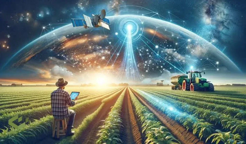
The growing global demand for food requires innovative approaches to agricultural practices. Satellite monitoring has emerged as a powerful tool for improving agricultural efficiency, sustainability, and productivity. Using advanced remote sensing technologies, satellite monitoring provides valuable insights into various aspects of agricultural operations, from crop health assessment and soil analysis to irrigation management and yield forecasting. These advances are transforming how farmers interact with their fields, helping them adapt to changing environmental and economic challenges.
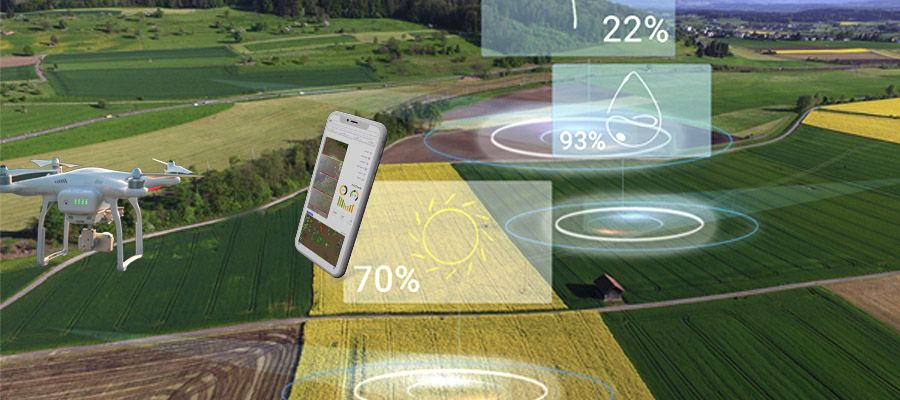
Sairone is a platform developed by Saiwa that leverages artificial intelligence and machine learning to support the agricultural, greenhouse, and ecological sectors. While different from satellite monitoring, Sairone offers drone-based monitoring solutions that use data collected by drones to provide tailored insights for optimizing agricultural operations. Together with satellite data, these technologies provide complementary approaches to improve precision and decision-making in modern agriculture.
This comprehensive overview examines how satellite technology works in agriculture, its diverse applications, the challenges and limitations associated with its use, and the future prospects for this rapidly evolving field.
How Satellite Technology Works in Agriculture
Satellite monitoring in agriculture relies on remote sensing principles, which involve acquiring information about an object or phenomenon without making physical contact. This is achieved by utilizing sensors onboard satellites that detect and record electromagnetic radiation reflected or emitted from the Earth's surface. The data collected is then processed and analyzed to extract meaningful information about agricultural landscapes and practices.
Explanation of Satellite Imaging and Remote Sensing
Satellite imaging is a core remote sensing component, capturing visual representations of the Earth's surface. These images are created by sensors that detect electromagnetic radiation in various wavelengths, including visible light, near-infrared (NIR), and thermal infrared.
Different surface features reflect and absorb these wavelengths differently, creating unique spectral signatures that can be used to identify and differentiate various objects, such as different crop types, soil conditions, and water bodies.
Remote sensing techniques analyze these spectral signatures to extract valuable information about the observed area. For instance, healthy vegetation reflects strongly in the NIR region, while stressed vegetation reflects less. This difference in reflectance can be used to assess crop health and identify areas requiring attention.
Types of Satellites and Sensors Used in Agriculture

A variety of satellites and sensors are employed in agricultural monitoring, each with its strengths and limitations. Broadly, satellites can be categorized into two main types:
Low Earth Orbit (LEO) satellites: LEO satellites orbit closer to the Earth, providing higher spatial resolution images but with less frequent coverage of a specific area.
Geostationary Earth Orbit (GEO) satellites: GEO satellites, positioned at a much higher altitude, offer continuous monitoring of a larger area but with lower spatial resolution.
The choice of satellite depends on the specific application and the required level of detail. Sensors used in agricultural monitoring include multispectral sensors, which capture data in multiple discrete wavelength bands, hyperspectral sensors, which capture data in hundreds of narrow, contiguous bands, and thermal sensors, which detect temperature variations. Hyperspectral sensors, with their fine spectral resolution, are particularly useful for detailed crop analysis and identifying subtle stress indicators.
Applications of Satellite Technology in Agriculture Monitoring
Satellite monitoring has a wide range of applications in agriculture, contributing to improved efficiency, sustainability, and decision-making across various aspects of agricultural operations.
Crop Health Monitoring
One of the most prominent applications of satellite monitoring is assessing crop health and Vigor. By analyzing the spectral reflectance of vegetation, particularly in the NIR and red regions, indices like the Normalized Difference Vegetation Index (NDVI) can be calculated.
NDVI provides a measure of photosynthetic activity and biomass, indicating the overall health of the crop. This information allows farmers to identify areas within a field experiencing stress due to factors like nutrient deficiency, water stress, or disease, enabling targeted interventions and optimizing resource allocation.
Soil Mapping and Analysis
Satellite imagery, in conjunction with ground-truthing data collected through soil sampling and analysis, provides a powerful means of creating detailed soil maps. These maps characterize key soil properties, including texture, organic matter content, moisture levels, and nutrient availability.
This spatial information is crucial for implementing precision agriculture practices, enabling site-specific management strategies tailored to the unique characteristics of different zones within a field.
Variable-rate applications of fertilizers, pesticides, and other inputs can be optimized based on soil maps, ensuring that resources are applied precisely where they are needed, minimizing waste and environmental impact, and maximizing resource utilization for optimal crop growth.
Crop Planning and Management
Satellite data plays a vital role in informing crop planning and management decisions, enabling farmers to make data-driven choices throughout the growing season. Historical satellite imagery provides a valuable record of past cropping patterns, allowing for analysis of land suitability for different crops, optimization of planting schedules, and assessment of long-term trends in land use and productivity.
Real-time monitoring of crop growth and development, enabled by frequent satellite acquisitions, allows for adaptive management strategies. Irrigation, fertilization, and pest control practices can be adjusted based on the current conditions and the specific needs of the crop, ensuring optimal resource utilization and maximizing yield potential throughout the growing season.
Water Use Optimization
Efficient irrigation management is paramount for sustainable agriculture, particularly in water-scarce regions where competition for water resources is intensifying. Satellite-derived information on evapotranspiration rates, soil moisture levels, and crop water stress provides valuable insights for optimizing irrigation scheduling.
By integrating this information with weather forecasts and crop growth models, irrigation systems can be controlled to deliver water precisely when and where it is needed, minimizing water waste and maximizing water use efficiency. This targeted approach to irrigation not only conserves water but also reduces energy consumption associated with pumping and distribution, contributing to both economic and environmental sustainability.
Pest and Disease Monitoring
Early detection of pest infestations and disease outbreaks is critical for effective crop protection and minimizing yield losses. Satellite imagery, particularly hyperspectral data, which captures information across hundreds of narrow wavelength bands, can detect subtle changes in plant reflectance that indicate the presence of pests or diseases before they become visible to the naked eye.
These spectral changes often manifest as shifts in pigment concentrations or alterations in leaf structure, providing early warning signals of stress. This early warning system enables timely interventions, such as targeted pesticide applications or implementation of other control measures, preventing widespread damage and minimizing the need for extensive and potentially environmentally harmful pesticide use.
Yield Forecasting and Analysis
Satellite monitoring provides essential data for predicting crop yields well in advance of harvest, enabling informed decision-making throughout the agricultural supply chain.
By analyzing crop growth patterns, biomass accumulation, and environmental factors such as temperature, rainfall, and solar radiation, predictive models can estimate potential yields with increasing accuracy.
This information is crucial for supply chain management, market planning, and ensuring food security by providing early estimates of crop production, allowing stakeholders to anticipate potential shortages or surpluses and adjust their strategies accordingly.
Accurate yield forecasts also facilitate price forecasting and risk management, contributing to greater stability in agricultural markets.
Comparing Satellite Imagery and Drone Imagery in Agriculture

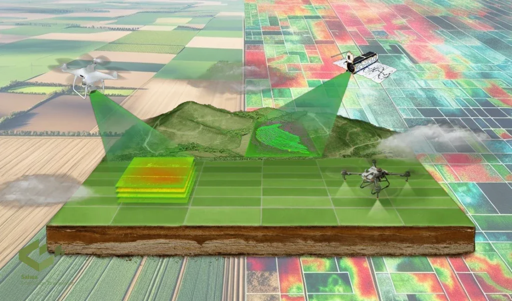
Both satellite and drone imagery offer valuable remote sensing capabilities for agriculture, but they differ in their spatial resolution, temporal resolution, coverage area, and cost.
Satellite imagery provides a broader perspective, covering large areas with regular revisit times, making it suitable for monitoring large farms and regional-scale agricultural practices.
Drone imagery, on the other hand, offers very high spatial resolution, capturing fine details of individual plants and small areas. Drones are more flexible in terms of acquisition timing and can be deployed quickly for targeted monitoring.
The choice between satellite and drone imagery depends on the specific application and the trade-off between spatial resolution, coverage area, and cost. Integrating data from both platforms can provide a comprehensive and multi-scale perspective on agricultural landscapes.
Challenges and Limitations of Satellite Monitoring in Agriculture
While satellite monitoring offers significant advantages for agriculture, several challenges and limitations need to be addressed.
Impact of Cloud Cover and Atmospheric Conditions
Cloud cover can be an obstacle to satellite observations, limiting the availability of data in certain regions or during certain seasons. In addition, atmospheric conditions can distort satellite imagery, requiring the use of atmospheric correction techniques to ensure accuracy.
Spatial Resolution Limitations
Some satellite imagery lacks the fine spatial resolution required for detailed applications, such as weed detection or detecting early signs of plant disease. This limitation may reduce the efficacy of satellite data for precision agriculture tasks that require highly detailed analysis.
Complexity of Data Processing and Analysis
The large amount of data generated by satellites requires specialized software and expertise to process and interpret the data. For users without access to advanced tools or technical training, this complexity can be an obstacle.
High Costs for Smallholder Farmers
The cost of satellite data acquisition and processing can be prohibitive, especially for smallholder farmers with limited financial resources. Access to affordable satellite services remains a significant challenge to equitable technology adoption.
Temporal Gaps in Data Availability
Depending on the satellite used, the revisit time can create data gaps that delay real-time decision-making for rapidly changing agricultural conditions.
The Future of Satellite Agriculture Monitoring
The future of satellite agriculture monitoring is bright, driven by ongoing advancements in sensor technology, data analytics, and cloud computing. The development of new satellite constellations with higher spatial and temporal resolution will provide even more detailed and frequent monitoring capabilities.
Advances in machine learning and artificial intelligence will enable more sophisticated analysis of satellite data, extracting deeper insights into crop growth, stress factors, and yield potential. The integration of satellite data with other data sources, such as weather data, soil sensors, and farm management software, will create comprehensive platforms for precision agriculture, enabling data-driven decision-making across all aspects of agricultural operations.
The increasing accessibility of cloud computing resources and user-friendly software tools will democratize access to satellite data and analysis, empowering farmers of all scales to benefit from this powerful technology..
Conclusion
Satellite monitoring has become an indispensable tool for modern agriculture, providing valuable insights into crop health, soil conditions, water management, and yield prediction. By leveraging the power of remote sensing, satellite technology enables more efficient, sustainable, and productive agricultural practices. While challenges and limitations remain, ongoing advances in sensor technology, data analytics, and cloud computing are paving the way for a future in which satellite monitoring plays an even more integral role in ensuring food security and promoting sustainable agricultural development worldwide.
