



Invasive Plant Monitoring - AI-Powered Farming Insights
Invasive Plant Monitoring with AI and drones helps detect, map, and manage invasive species efficiently, empowering smarter, data-driven land management.
Written by Amirhossein
Reviewed by Boshra
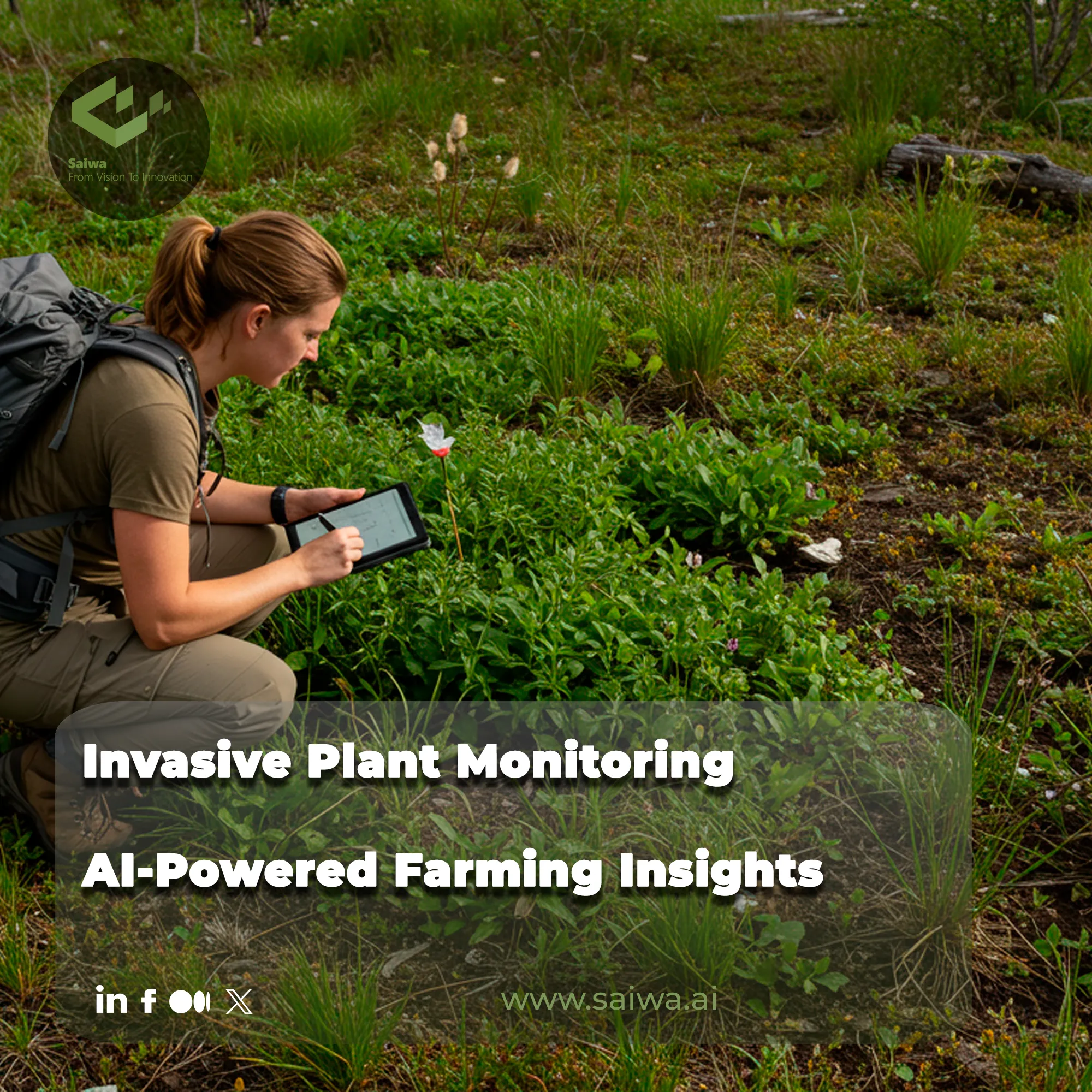
The unchecked spread of invasive flora threatens agricultural productivity and ecological balance, demanding a paradigm shift in farm management. Effective Invasive Plant Monitoring is no longer just about containment but about proactive, data-driven strategy. Saiwa's Sairone platform pioneers this shift, leveraging advanced artificial intelligence to transform complex aerial data into actionable insights for farmers and ecologists.
This article explores the evolution from outdated conventional methods to intelligent, scalable solutions, demonstrating how technology is fundamentally redefining our approach to ecological threats.

How Invasive Plants Spread and Why Early Action Matters
Invasive plants spread quickly through wind, water, animals, and human activities such as farming and trade. Once these plants take hold, they crowd out native species and disrupt ecosystems. It is crucial to detect and manage them early, as this prevents large infestations, reduces control costs, and protects local biodiversity.
Challenges in Conventional Monitoring Systems
Traditional methods for identifying and tracking invasive plants are fraught with inherent limitations that hinder effective, large-scale management. These manual approaches are often unsustainable due to their high demand on resources and time. Key challenges that necessitate a technological leap forward include:
Manual Methods Lack Scale: Field surveys are labor-intensive, costly, and simply cannot provide consistent coverage over vast or inaccessible terrains, making comprehensive monitoring impractical.
Data Fragmentation and Inconsistency: Data gathered by different teams at different times often lacks standardization, leading to fragmented, unreliable datasets that complicate accurate analysis.
Limited Long-Term Tracking Capabilities: Conventional methods struggle to track the subtle, season-over-season spread of invasive species, preventing early intervention and strategic resource allocation.
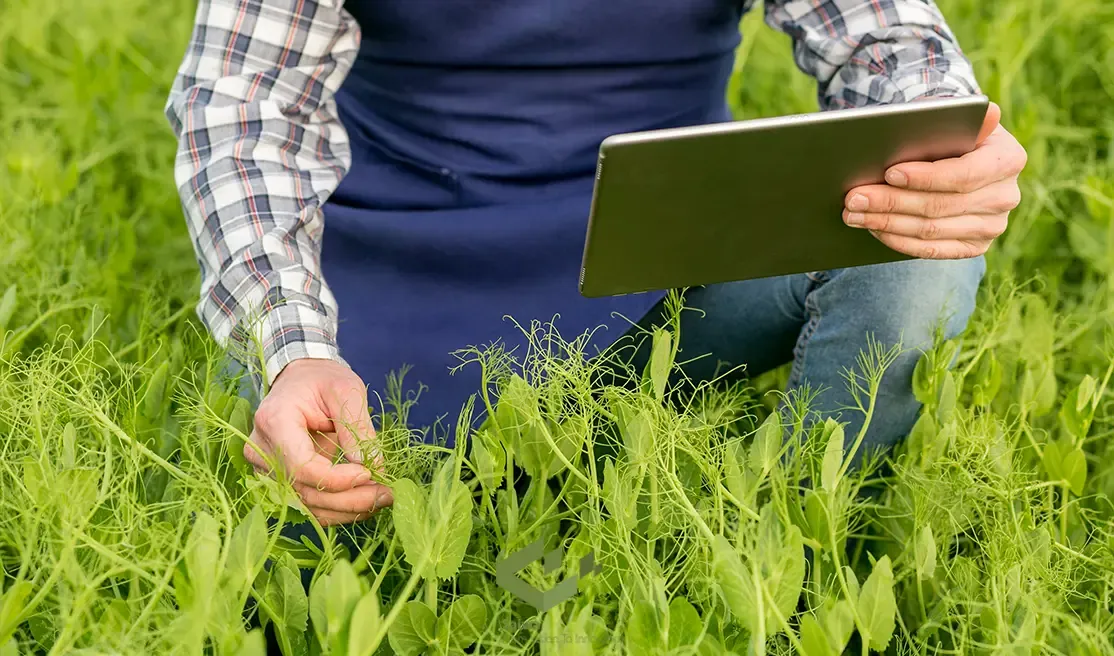
AI and Remote Sensing: Elevating Invasive Plant Monitoring
The fusion of artificial intelligence with remote sensing technologies, particularly unmanned aerial vehicles (UAVs), overcomes these challenges. This synergy turns raw data into a powerful tool for precision agriculture and environmental conservation. The process elevates monitoring through several key advancements:
Precision Monitoring with Hyperspectral and UAV Data: UAVs equipped with hyperspectral sensors capture detailed spectral signatures that allow for precise differentiation between crops, soil, and various invasive species.
From Detection to Pattern Recognition: Machine learning models, such as Random Forest (RF), analyze this data to move beyond simple weed detection and identify complex distribution patterns.
Data-Driven Insights for Strategic Control: This analysis yields actionable intelligence, enabling targeted interventions that reduce costs and minimize environmental impact.
Spatial Intelligence Through Geo-Mapping: This technological power is fully realized by integrating spatial context. This crucial step includes:
Aligning Imagery with Ground-Truth Locations Using GPS: Every data point is geo-referenced, linking the aerial image to a precise physical coordinate on the ground.
Layering Weed Distribution with Soil Nutrient or Pest Maps: Creates a multi-dimensional understanding of how infestation patterns correlate with other environmental factors.
Multi-Temporal Mapping for Cross-Seasonal Insights: Comparing maps from different timeframes reveals the dynamics of plant spread and invasion pathways.
Meet Sairone: Intelligent Invasive Plant Monitoring at Scale
Bridging the gap between advanced technology and practical application is Sairone, an intelligent platform engineered for this purpose. It automates the analysis of high-resolution drone imagery to help land managers transition from reactive to a proactive strategy focused on plant health monitoring. Sairone achieves this through a suite of integrated functionalities:
Automated Species Identification: Leverages AI to accurately detect and classify invasive species from aerial imagery.
Scalable Aerial and Satellite Compatibility: Processes data from various sources, ensuring flexibility for projects of any scale.
Smart Dashboards and Decision Support: Translates complex data into intuitive, visual reports for informed decision-making.
Geo-Referenced Analysis and Data Layer Integration: Embeds spatial intelligence directly into its analytics, allowing users to map and act on insights with precision.
Steps for Effective Invasive Plant Monitoring
To maximize the benefits of drone-based invasive plant monitoring, a structured approach is essential. These steps help farmers and land managers turn high-tech data into actionable insights for the early detection and control of invasive plants.
Step 1: Schedule Regular Surveys
Plan drone flights at multiple points throughout the growing season to detect invasive species early, before infestations spread uncontrollably.
Step 2: Align with Vegetation Growth
Time your surveys around peak growth periods of the target species to maximize detection accuracy and visibility.
Step 3: Select the Appropriate Sensors
Choose multispectral or hyperspectral sensors based on the invasive plant’s spectral characteristics to ensure precise identification.
Step 4: Optimize Flight Parameters
Maintain a flight altitude that balances image resolution with manageable data volume, ensuring clear and actionable imagery.
Step 5: Validate with Ground Truthing
Occasionally verify AI predictions with on-the-ground observations to confirm accuracy and fine-tune detection models.
Step 6: Refine AI Models Continuously
Leverage collected data to continuously improve AI algorithms, increasing monitoring precision and effectiveness with every survey.
Turning Monitoring Data Into Action Priorities
Invasive plant monitoring becomes truly valuable when it does more than confirm that a species is present. It should help land managers decide where to act first, which patches can still be eradicated, and which areas require long-term containment instead of one-time removal.
This matters because early detection literature consistently shows that once invasive plants become well established, management becomes more difficult, more expensive, and more dependent on repeated intervention rather than simple removal.
Not every detection has the same urgency
A useful monitoring program does not treat all infestations equally. Small, isolated patches near the invasion front often deserve faster action than dense, long-established stands, because they are more likely to be removed before they become seed sources or expansion corridors.
That logic fits the current article’s emphasis on early detection and multi-temporal mapping. If managers can compare georeferenced surveys across time, they can see whether a patch is stable, expanding, or appearing in new areas, which changes the urgency of the response.
In practice, prioritization should consider more than species identity alone. The most useful monitoring records also capture patch size, density, growth stage, proximity to sensitive areas, and the likelihood of spread through water, vehicles, farm operations, or disturbed ground.
This is exactly where conventional methods often fail, because the article already notes that manual surveys are labor-intensive, fragmented, and inconsistent across teams and time periods.
Build a response-based monitoring framework
A strong monitoring workflow should classify detections by management objective, not just by map color.
Detection pattern | Best management interpretation | Recommended priority |
Small, isolated patch | Best candidate for rapid removal before establishment. | Highest priority. |
Expanding edge infestation | Likely active spread zone that should be contained quickly. | High priority. |
Dense, long-established stand | May require phased suppression and repeat monitoring instead of immediate eradication. | Medium priority. |
Reappearing patch after treatment | Suggests incomplete control or seedbank persistence, requiring follow-up evaluation. | High priority for review. |
Why standardized outputs matter
This is where AI-based platforms create practical value. The current article explains that remote sensing and machine learning can move from simple detection to pattern recognition, while Sairone’s weed and invasive plant control platform adds GIS-ready outputs such as GeoJSON, Shapefile, KML, and CSV for mapped decision-making.
Those outputs matter because monitoring only improves management when the same patch can be revisited, compared across surveys, and assigned to a clear response category. A good map is not just visual evidence; it is a field operations tool.
A better way to measure success
The success of invasive plant monitoring should not be measured only by how many detections a system generates. It should be measured by whether the program helps managers reduce spread, focus labor on the highest-risk patches, and confirm whether previous control efforts actually worked.
That approach also aligns with the article’s broader message that invasive plant management must become proactive and data-driven rather than reactive and manual.
For modern farms, restoration teams, and environmental managers, the strongest monitoring systems are not the ones that collect the most imagery. They are the ones that make it easier to separate urgent infestations from manageable background pressure and turn that distinction into faster, more targeted action.
Real-World Scenarios & Opportunities
The application of AI-driven Invasive Plant Monitoring is not theoretical; it is actively delivering value across diverse environments. These real-world use cases validate its effectiveness and highlight opportunities for broader implementation.
Urban and Agricultural Use Cases: From identifying invasive Prosopis juliflora in Kenyan rangelands with over 95% accuracy to detecting weeds in European maize fields, the technology is boosting agricultural efficiency.
Research-Driven Monitoring at Scale: Collaborative projects, such as the Swiss "Neophyte Radar," use drones and AI to systematically monitor invasive plants along transportation corridors.
Supporting Ecological Restoration and Compliance: Conservation groups use UAV data to monitor the spread of species like Spartina alterniflora in coastal wetlands, guiding restoration efforts and ensuring regulatory compliance.
Final Thoughts: Monitor Smarter, Act Sooner
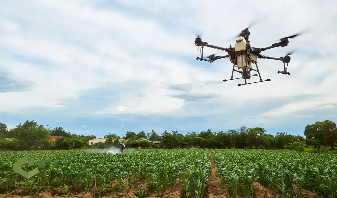
The evolution from manual, ground-based surveys to intelligent, aerial monitoring represents a fundamental shift in land management. Embracing AI-powered platforms like Sairone allows for earlier detection, more strategic interventions, and a more sustainable approach to protecting our agricultural and natural ecosystems from the threat of invasive species.
Note: Some visuals on this blog post were generated using AI tools.
Comments
No comments yet!
Table of Contents
No headings were found on this page.