


Drone Sensors for AI Weed Detection in Agriculture
How UAV RGB, multispectral, and thermal sensors feed AI weed detection and how maps drive site-specific spraying and precision ag workflows.
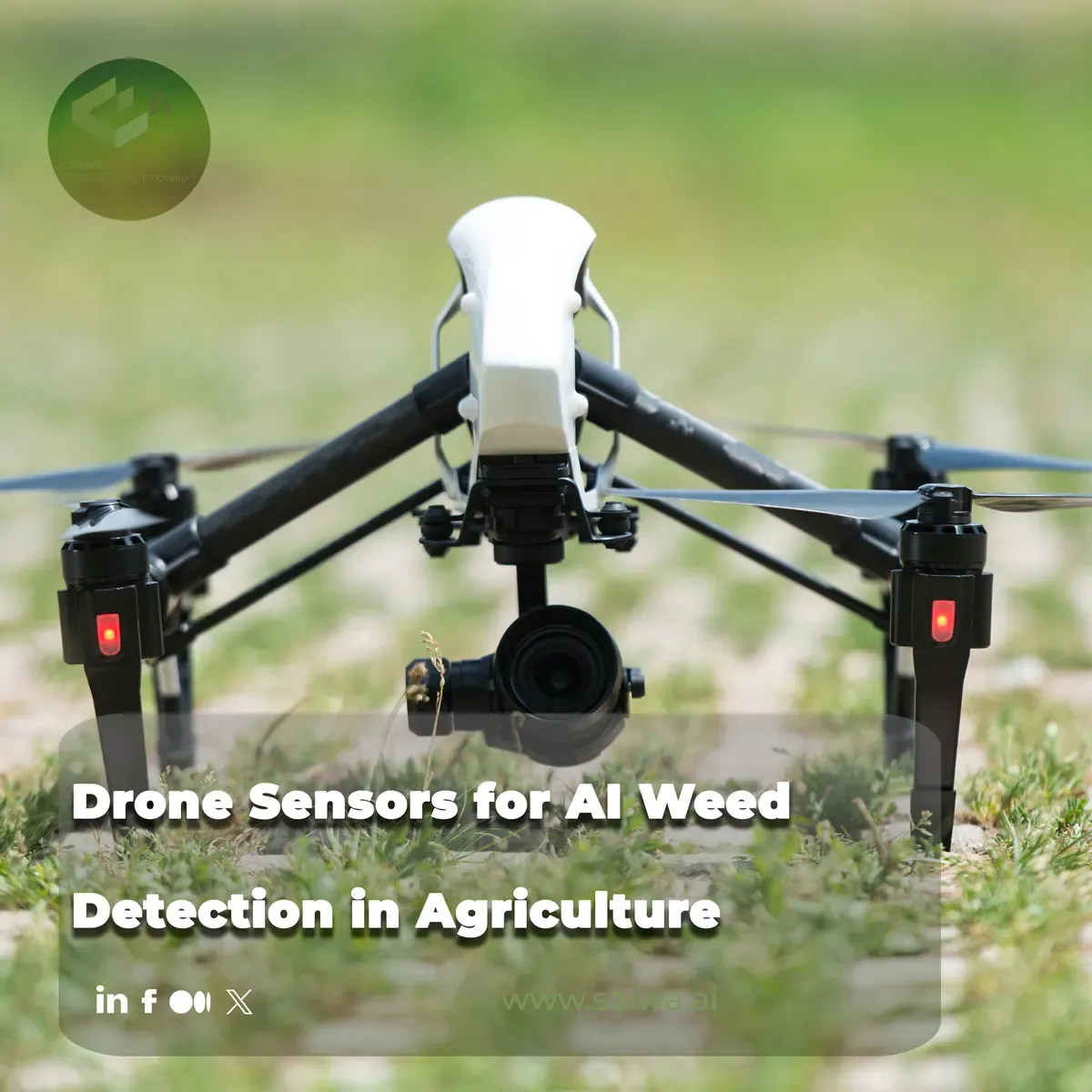
Weed pressure is spatially patchy, chemically costly, and increasingly regulated. Drone-based sensing paired with computer vision turns that variability into actionable field intelligence: where weeds are, how dense they are, and which zones merit treatment instead of whole-field broadcast. This article walks through why low-altitude remote sensing fits site-specific weed management, which sensor classes matter for discrimination and stress cues, how spectral and spatial resolution shape model inputs, and how classical versus deep learning pipelines perform in published UAV weed studies. It closes with the operational bridge from detection maps to precision spraying, and how cloud platforms such as Sairone operationalize weed intelligence at enterprise scale.
Why UAV Weed Detection Matters
Agronomic weed control has moved from uniform applications toward management that respects within-field heterogeneity. UAVs supply the vantage and revisit frequency that make that shift technically feasible at field scale.
Site-Specific Weed Management
Site-specific weed management (SSWM) treats herbicide and mechanical intervention as a spatial allocation problem: apply control only where weeds exceed thresholds, rather than treating every hectare identically. Precision spraying workflows described in industry practice align detection outputs with variable application, targeting weeds while limiting off-target chemical load on crop and soil. Federal agricultural research narratives similarly frame drones as tools to observe crop and weed status at resolutions that support more informed in-field decisions than coarse, whole-field assumptions. The economic and environmental logic is direct: fewer inputs where weeds are absent or sparse, and concentrated effort where pressure is concentrated.
Advantages of Low-Altitude Remote Sensing
Low-altitude UAV remote sensing improves spatial detail relative to many satellite passes and allows flights timed to crop and weed phenology. USDA Agricultural Research Service coverage notes that drone-mounted sensors can capture crop stress and field conditions from above at scales relevant to row crops and research plots. Wingtra’s multispectral agriculture overview emphasizes that drone campaigns can produce high-resolution, georeferenced reflectance data suited to vegetation analysis and forestry/agronomy monitoring, with band sets that separate plant functional traits from background soil and residue. Ambiq’s ag-drone survey highlights UAVs as platforms for sensor fusion, including cameras, multispectral payloads, and analytics, supporting faster scouting and data-driven field operations. Together, these sources portray UAVs not as replacements for ground scouting but as repeatable, geospatial layers that AI can classify into weed presence, density, and extent.
Drone Sensor Types for Weed Detection
Sensor choice defines what AI can see. Published UAV weed work spans consumer-grade RGB through multispectral stacks and, in broader ag-drone discourse, thermal channels for stress.
RGB Imaging for Visual Discrimination
RGB cameras remain the most accessible payload on research and commercial drones. The University of Melbourne comparative scholarly work on deep learning weed detection from UAV images evaluates multiple learning architectures on RGB aerial frames, reflecting a common research design: abundant data, straightforward calibration, and strong texture and color cues when weeds and crops differ in morphology or canopy structure. PubMed-indexed recent UAV weed studies similarly treat high-resolution visible imagery as a primary input to convolutional detectors and segmenters, with performance tied to label quality, flight height, and illumination. RGB is often sufficient for binary weed–crop separation in structured crops when species contrast is visible; weakness appears under shadow, lodging, or early-stage similarity.
Multispectral and Hyperspectral Sensing
Multispectral systems capture narrow bands beyond visible red, green, and blue, typically including red-edge and near-infrared channels that track chlorophyll and biomass differences between species and growth stages. Wingtra describes multispectral drone data as a quiet but substantial upgrade for agriculture and forestry, where band-specific reflectance supports vegetation indices and species-level separation when RGB alone is ambiguous. SciDirect-indexed agronomic remote-sensing research in the supplied set ties spectral dimensionality to weed–crop discrimination in UAV campaigns, where red-edge and NIR contrast can separate green vegetation classes under variable lighting better than single-band greenness. Open-access segmentation work in PMC associates multispectral or multi-band UAV stacks with pixel-wise invasive or weed-like vegetation mapping using deep networks. Hyperspectral payloads appear less frequently in the cited comparative and industry pieces but follow the same principle: more spectral resolution yields more feature dimensions for classifiers when calibration and data volume are managed.
Thermal Imaging for Field Stress Detection
Thermal cameras measure emitted radiance linked to temperature and, indirectly, transpiration and water status. Ambiq’s ag-drone overview positions thermal and multi-sensor UAV configurations as part of a broader shift toward automated field analytics, where stress detection complements visible weed scouting. USDA drone research communication notes aerial thermal and related sensors as avenues to observe crop stress from above. In weed-specific pipelines, thermal is rarely the sole discrimination channel in the cited detection studies; instead it supports contextual stress mapping that can prioritize scouting or corroborate spectral anomalies. For AI weed detection, thermal is best read as a complementary layer when water stress or canopy temperature contrasts align with management zones.

Spectral Data and Image Resolution
AI performance on weeds is not only “which model” but how reflectance is sampled in space, time, and wavelength.
Visible, Red-Edge, and Infrared Reflectance
Visible bands carry pigmentation and texture; red-edge and NIR bands track chlorophyll content and cellular structure, which often differ between crop rows and weed patches. Multispectral agriculture guidance in the Wingtra material stresses that red-edge and NIR combinations improve sensitivity to plant vigor and biomass relative to RGB alone, supporting index-style analytics and classification features fed to machine learning. Agronomic remote-sensing research in the SciDirect source connects these reflectance domains to weed detection outcomes when UAV altitudes and radiometric correction are controlled. PMC-associated invasive-grass segmentation work demonstrates that per-pixel spectral–spatial features from UAV mosaics can train deep segmenters that output continuous weed or invasive cover maps.

Spatial, Temporal, and Spectral Resolution
Spatial resolution sets the minimum weed patch size detectable at a given flight altitude and focal length; temporal resolution determines whether maps reflect a single phenological snapshot or a time series for emergence tracking. Spectral resolution trades payload cost and data volume against separability. Comparative UAV weed detection research highlights that higher GSD (ground sampling distance) improves small weed visibility but increases image count and processing load. USDA and Wingtra narratives note that drone operations can be scheduled around weather and growth stage, whereas fixed satellite revisit may miss critical early weed flushes. Deep learning weed studies in the set report that mosaicked orthomosaics at very high spatial resolution improve localization for spraying prescriptions, while uncorrected reflectance and inconsistent flight parameters degrade cross-date robustness.
AI Methods for Weed Recognition
Sensor data becomes management information through classification and segmentation pipelines that label pixels or objects as weed, crop, or background.
Classical Feature-Based Classification
Before end-to-end deep networks dominated benchmarks, UAV weed studies often engineered features such as color indices, texture metrics, or hand-crafted descriptors, followed by classifiers such as support vector machines or random forests. The Melbourne comparative deep learning study situates classical pipelines as baselines against CNN-based detectors, noting that feature engineering remains sensitive to illumination and soil background. USDA and agronomic publication threads in the supplied ARS material describe machine learning on aerial observations as an evolving tool for weed and crop status inference, with feature-based methods still relevant where training data are scarce.
Deep Learning and Semantic Segmentation
Contemporary open-access PMC work applies deep semantic segmentation to UAV imagery for invasive grass mapping, producing pixel-level masks that translate directly to area statistics and geographic overlays. PubMed-listed recent UAV weed detection research employs convolutional architectures to detect or segment weeds in row crops, reporting that architecture choice, training set diversity, and annotation granularity strongly influence field transfer. The Melbourne comparative study systematically contrasts multiple deep models on UAV RGB weed datasets, emphasizing tradeoffs between inference speed, localization accuracy, and training data requirements. ARS publication metadata in the supplied catalog links federal weed-science research to aerial image analytics and learning-based detection in agricultural settings. Object detectors (bounding-box weeds) and segmenters (patch outlines) both appear in this literature stream; segmenters align cleanly with variable-rate spray maps because they preserve patch geometry.
Sensor Selection and Detection Performance
Hardware selection couples spectral capability, radiometric stability, and operational cost with the AI stack downstream.
High-End and Low-Cost Multispectral Systems
Wingtra’s industry analysis contrasts professional multispectral camera systems (with synchronized band capture and calibration panels) against lighter RGB-only setups, noting that multispectral campaigns improve vegetation analytics for agriculture but increase preprocessing and storage demands. SciDirect-sourced agronomic UAV research in the set evaluates detection performance across sensor configurations relevant to weed and crop separation, where red-edge-capable payloads outperform RGB-only models under certain weed–crop spectral similarities. Ambiq notes a proliferation of drone payloads from basic cameras to multispectral kits, enabling tiered adoption for farms and service providers. High-end systems buy radiometric repeatability; low-cost RGB arrays buy volume and simpler workflows at the expense of separability in tough spectral conditions.
Accuracy, Robustness, and Processing Tradeoffs
Comparative UAV weed detection research reports that deep models achieve strong metrics on held-out frames from the same field season while dropping under new lighting, soil moisture, or growth stage—classic robustness limits for aerial CV. PMC segmentation research stresses that invasive or weed masks are most actionable when georeferencing error and orthomosaic seam artifacts are minimized; otherwise “accurate” pixels misalign with sprayer GPS. PubMed-associated studies note processing tradeoffs: higher-resolution mosaics and segmentation decoders raise GPU time and cloud storage, whereas lighter detectors enable nearer real-time use on edge hardware. ARS research communication reminds that aerial detection must be validated against ground truth weed counts or expert ratings before prescriptions are trusted. Accuracy is therefore a system property that depends on the sensor, flight protocol, labels, and map products, not a single model score.
From Weed Maps to Precision Spraying
Detection outputs earn their value when coupled to actuators that apply herbicides or mechanical control variably.
Real-Time Detection and Targeted Application
Leher’s precision spraying overview describes workflows where sensing and AI identify weed locations so application equipment treats weeds rather than bare soil or crop, reducing chemical use and supporting regulatory pressure on input minimization. Ambiq frames ag drones as part of a pipeline toward automated or assisted application, where fast inference on board or in the cloud shrinks the gap between observation and treatment. Research-oriented sources emphasize two modes: post-flight orthomosaic segmentation for prescription maps (common in PMC and comparative DL studies) and lower-latency detection for guided sprayers or follow-me UAVs when hardware allows. Targeted application depends on map formats, GPS alignment, and sprayer controller integration, which rely on the same GIS layers that segmentation outputs generate.
Sairone and its Field Application in AI-Driven Precision Agriculture
Scaling Remote Sensing Data Through Cloud Intelligence
Sairone is an advanced AI-driven platform developed by Saiwa that ingests high-resolution aerial imagery from drones, satellite constellations, and machine-mounted cameras into a unified geospatial processing environment. Its architecture is built to absorb multi-sensor reflectance and visual data at production scale, including cloud uploads of very large “mega files” such as high-density TIFF orthomosaics without forcing users to downsample locally before analysis. By centralizing radiometric stacks, metadata, and spatial reference in the cloud, Sairone turns disparate flight campaigns into consistent analytical scenes that downstream weed models can consume across fields and seasons.
That scale matters because UAV weed AI is rarely a single-image problem: operators accumulate overlapping passes, multispectral band sets, and revisit flights that must align before segmentation or density statistics are trustworthy. Sairone’s pipeline-oriented design addresses the operational bottleneck between data capture and model inference, so agronomists spend less time on file handling and more time on thresholding weed pressure for management.
Automated Weed Identification and Density Mapping
Within Sairone, the Weed and Invasive Plant Control service applies computer vision to identify specific weed species rather than generic “non-crop green” classes. The platform targets taxa that drive regional management decisions, such as Taraxacum officinale, Amaranthus albus, fleabane, and thistle, and outputs exact spatial density maps that quantify infestation intensity per unit area. Species-aware maps support not only herbicide choice but also compliance and ecological monitoring where invasive spread must be documented geospatially.
Density mapping closes the loop between pixel-level segmentation and agronomic thresholds: managers see where species clusters exceed economic injury levels, how patches connect along headlands or irrigation lines, and which zones can be left untreated. That layer is the bridge from academic detection metrics to field prescriptions.
Translating Spatial Insights Into Variable-Rate Field Action
Sairone exports GIS-ready visualization layers (Shapefiles, GeoJSON, CSV, and KML) formatted for smart sprayers, drone applicators, and farm management software. An auto-clustering algorithm groups contiguous affected cells into clean management blocks within hours of processing, reducing manual polygon editing that otherwise delays spraying windows. Rather than delivering raw rasters alone, the service emphasizes actionable zones: treat blocks A–C today, hold block D until post-emergence timing, isolate invasive thistle polygons for spot treatment.
Variable-rate field action depends on clean topology (no sliver polygons), consistent coordinate reference systems, and attribute tables sprayer controllers can read. Sairone’s export philosophy aligns detection geometry with equipment workflows so spatial insights do not stall in desktop GIS.
Custom AI Infrastructure and Enterprise Integration
Sairone deliberately avoids one-size-fits-all templates. Enterprise clients can request customized plant detection models trained on regional weed spectra and crop backgrounds, tailored reporting dashboards for agronomists and fleet managers, White Label deployments for ag retailers, and Back-end as a Service (BaaS) APIs that embed weed intelligence inside existing farm software. Integration goals, such as ERP seed orders, work order ticketing, and sprayer telematics, vary by operation; the platform’s B2B customization layer is positioned to align model outputs, user roles, and data contracts with those operational goals rather than forcing a single SaaS UI.
For organizations building proprietary digital agronomy products, API-level access means weed maps and density attributes become microservices: trigger flight upload, poll segmentation status, pull GeoJSON prescriptions into a custom mobile app. That enterprise posture mirrors the broader theme in the research literature: detection is only valuable when embedded in the client’s operational stack.
Conclusion
Drone sensors for AI weed detection form a coupled system: RGB, multispectral, and complementary thermal channels sample reflectance and stress cues at spatial and temporal scales suited to site-specific management. Red-edge and NIR information often strengthens discrimination when visible bands alone conflate weed and crop greenness , while published deep learning and segmentation studies show that pixel- and object-level outputs must be geospatially rigorous to support prescriptions. Sensor tier and processing budget trade accuracy, robustness across dates, and time-to-map. Translating detections into variable-rate spraying requires map products and industry workflows that target weeds, not entire fields.
Platforms such as Sairone extend that research chain into operations through cloud-scale orthomosaic ingestion, species-specific density mapping, GIS exports for smart sprayers, and enterprise APIs, so aerial weed intelligence can move from plot experiments to fleet-scale precision agriculture without re-engineering the data path each season.
Continue reading
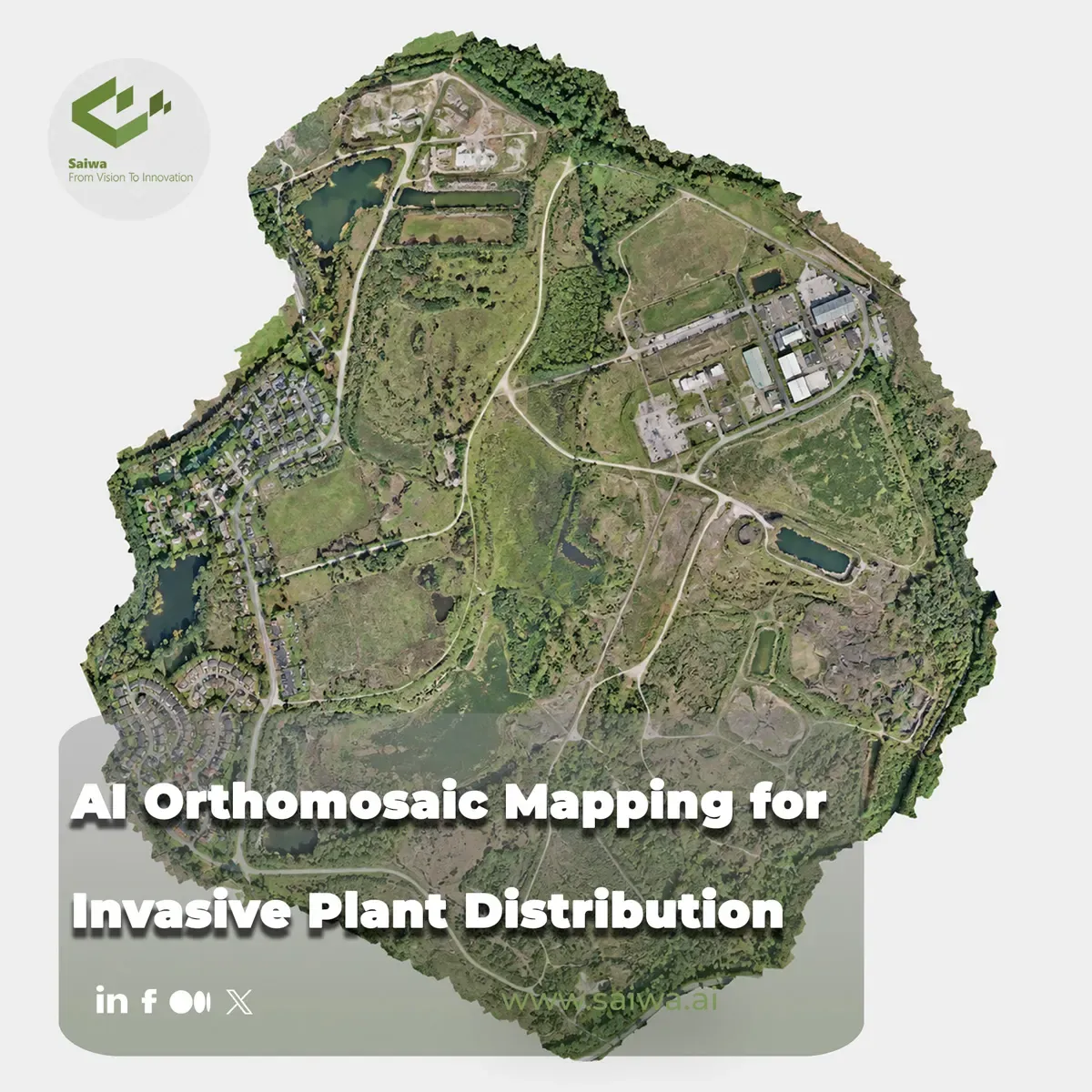
AI Orthomosaic Mapping for Invasive Plant Distribution
Invasive plants are spatial problems before they become treatment problems. A management team needs to know not only which species is presen

The Impact of AI in Automated Harvesting
Harvesting represents one of the most labor-intensive phases across agricultural operations. As labor shortages compound and farm sizes scal
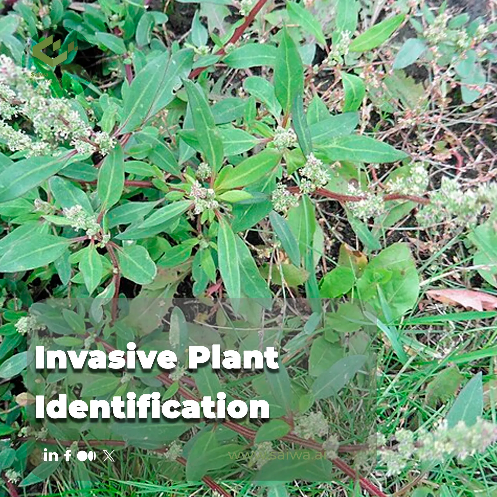
Invasive Plant Identification – A Modern Guide to Protecting Landscapes
The unchecked spread of invasive alien plants is not just an ecological nuisance; it's a critical threat to agricultural productivity and gl
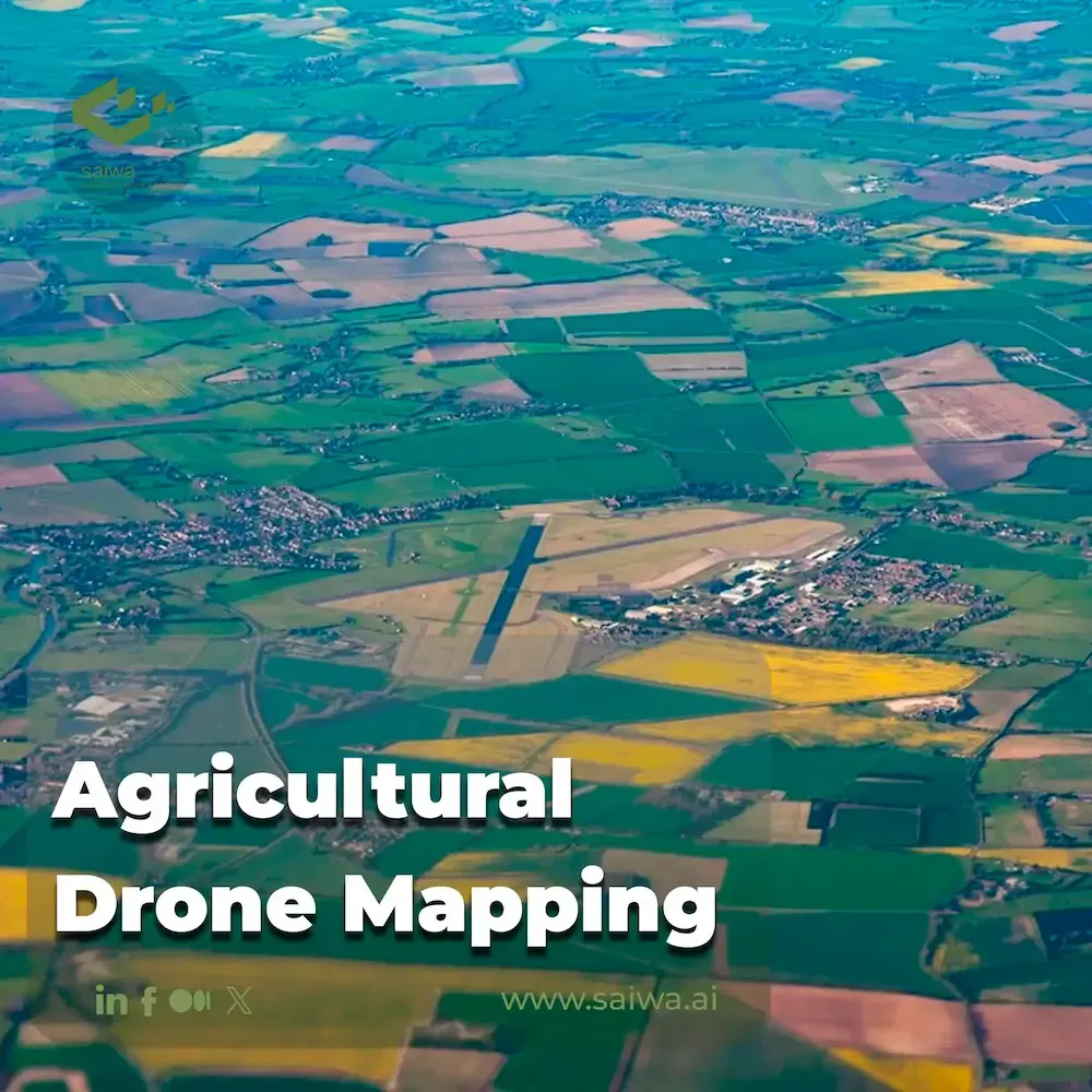
Fields from Above | Innovations in Agricultural Drone Mapping
Agriculture is under increasing pressure to produce higher yields with fewer resources to meet global food demand. However, challenges such

Ambrosia Artemisiifolia Control - Smart Solutions for an Aggressive Weed
Understanding Ambrosia ArtemisiifoliaAmbrosia artemisiifolia, also known as common ragweed, is a fast-spreading weed that poses a major thre
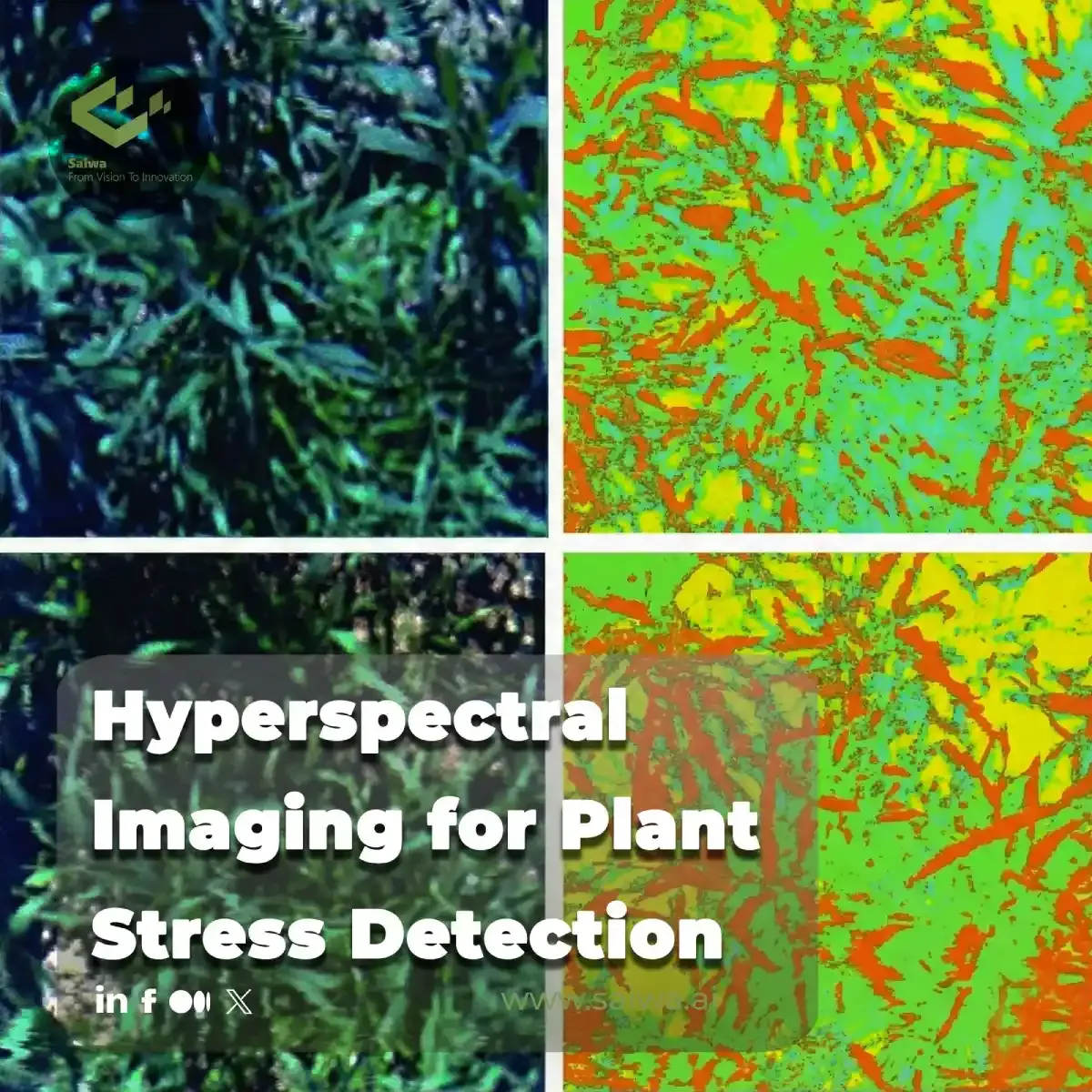
Hyperspectral Imaging for Plant Stress Detection
This article explores the use of hyperspectral imaging (HSI) for early detection of plant stress, covering sensor technologies (UAV, satelli
Comments
Be the first to share your thoughts
No comments yet
Start the conversation by sharing your thoughts
Share this article
Help others discover this content
Table of Contents
No headings were found on this page.