Water Soldier
Controlling Water Soldier in any crops
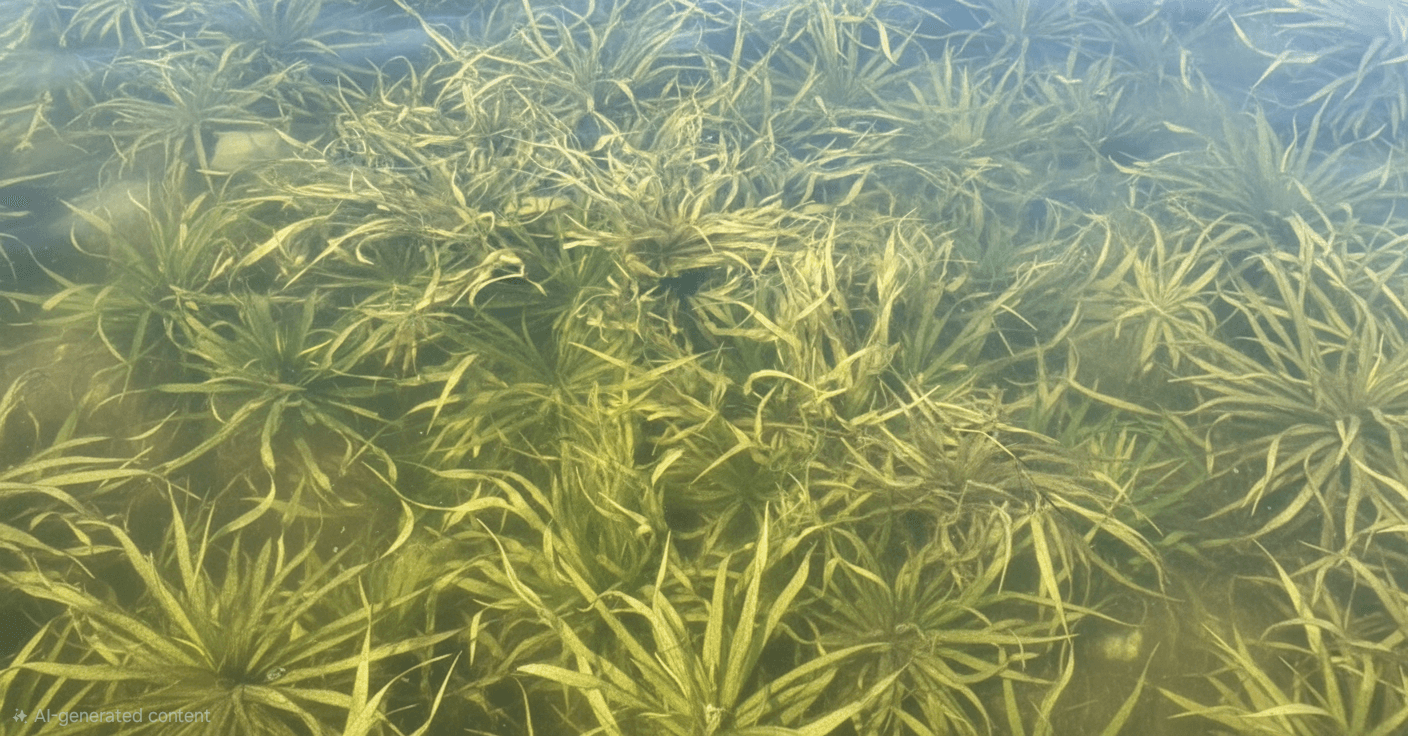
Water soldier (Stratiotes aloides) is a submerged aquatic invasive plant native to Europe and parts of western Asia. It is most common in slow-moving or still freshwater bodies such as ponds, ditches, and canals, particularly in the United Kingdom, the Netherlands, and parts of Eastern Europe. In recent years, it has also appeared as an invasive species in parts of Canada, especially in Ontario, where it poses a threat to native aquatic ecosystems.
The plant resembles a floating green rosette with long, narrow, serrated leaves that are stiff and sword-shaped, giving it a spiky appearance—similar to the top of a pineapple. During summer, it floats on the water surface, while in colder months it sinks to the bottom to overwinter. It can be identified by its sharp leaf margins and occasional small white flowers. Water soldier is a dioecious species, with most invasive populations reproducing asexually through offsets, which contributes to its rapid spread. While there are no major recognized subspecies, variations in growth habit and flowering are observed depending on environmental conditions.
Water soldier does not typically affect terrestrial crops but can significantly disrupt aquatic agriculture and water management systems. It competes with native aquatic plants, reduces biodiversity, and can interfere with water flow in irrigation canals. In dense populations, it hampers recreational and commercial water use. Control measures include mechanical removal, shading, and potential biological control, though its submerged winter phase makes eradication particularly difficult.
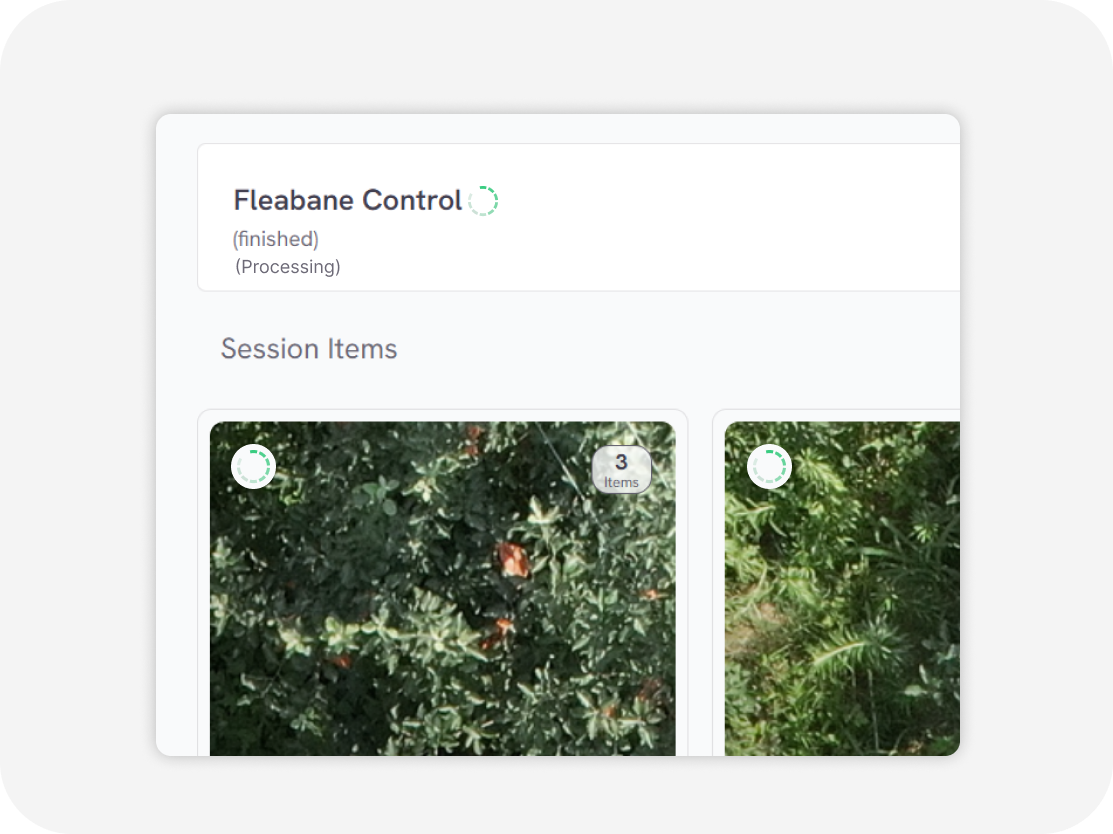
We employ a cutting-edge, real-time object detection model to identify Water Soldier and other invasive species efficiently. This model is designed to balance high-speed inference with accuracy, making it ideal for real-time applications.
Ready to elevate your Images/Videos?
How it works?
Easy to use online cloud-based web service

Upload Images/videos
Aerial videos/images in various formats Orthophoto/TIFF images RGB, multispectral, thermal Surveillance (CCTV) cameras Agricultural machinery camera
Processing
in second
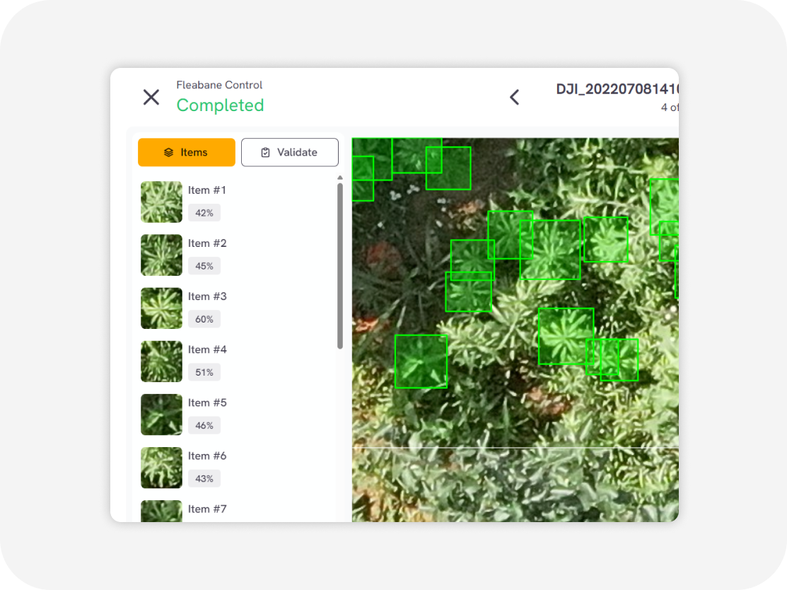
Download output
Weed distribution map with GIS data Weed clustering map with GIS data (GeoJSON, Shapefile, KML, CSV)
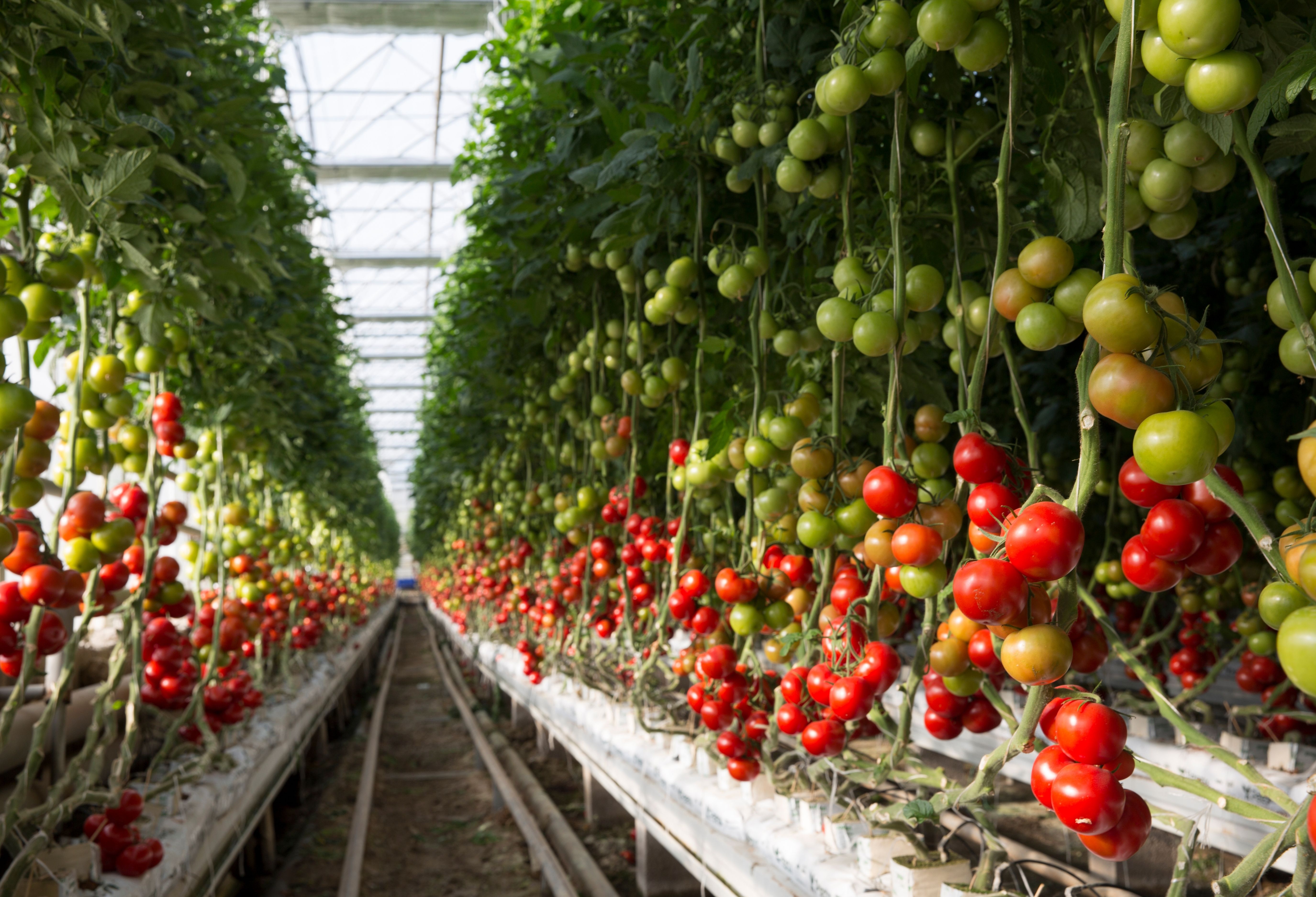
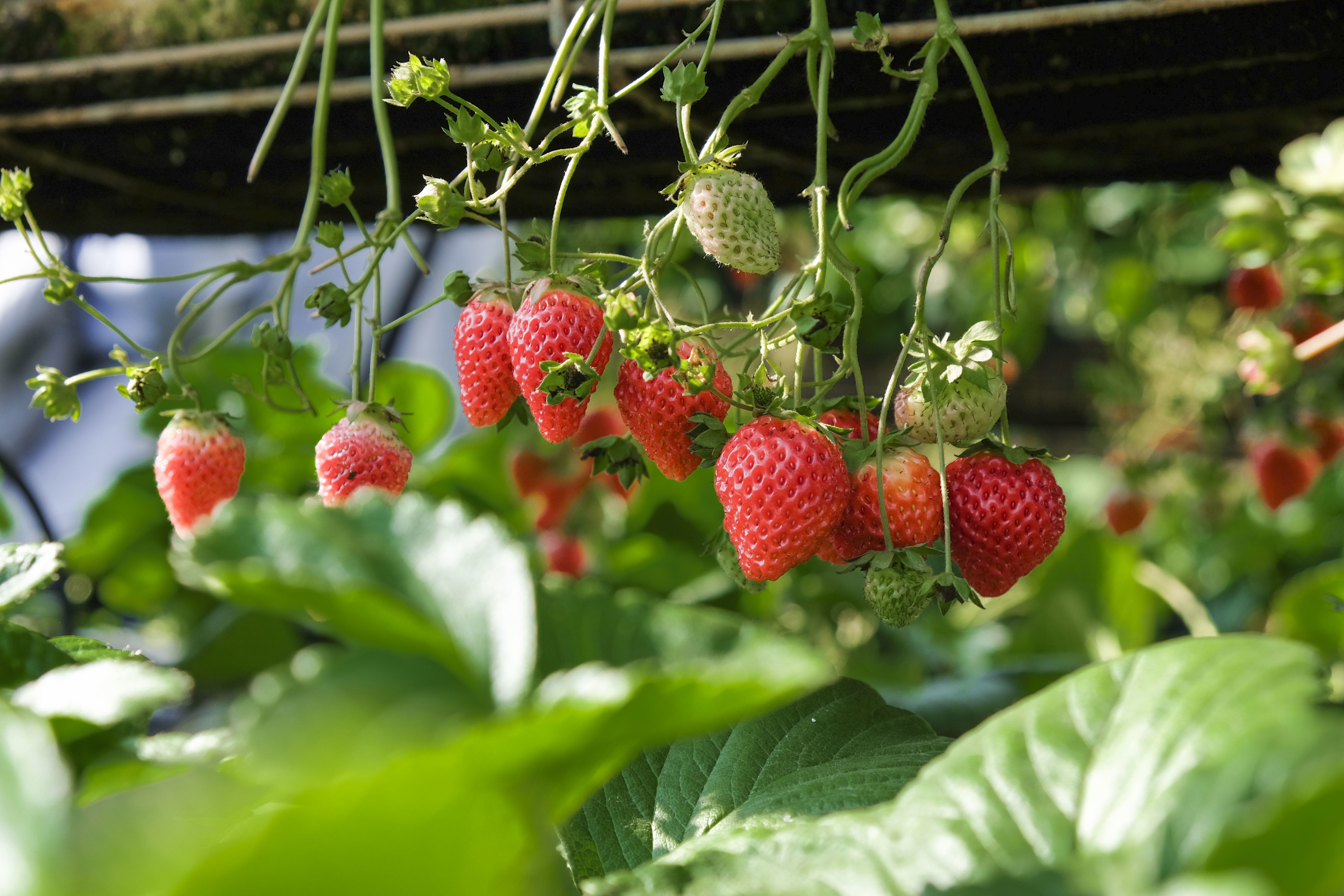
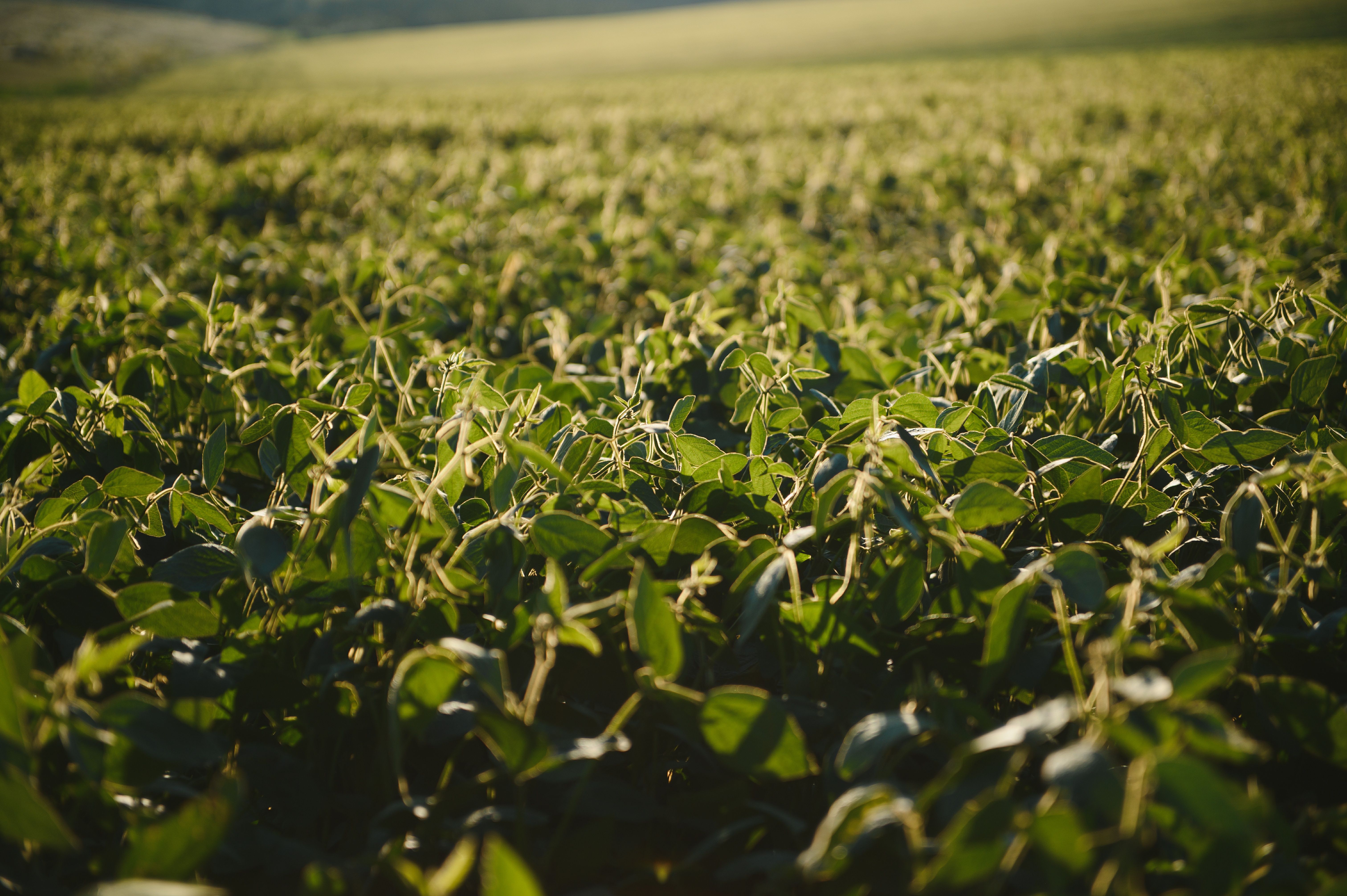
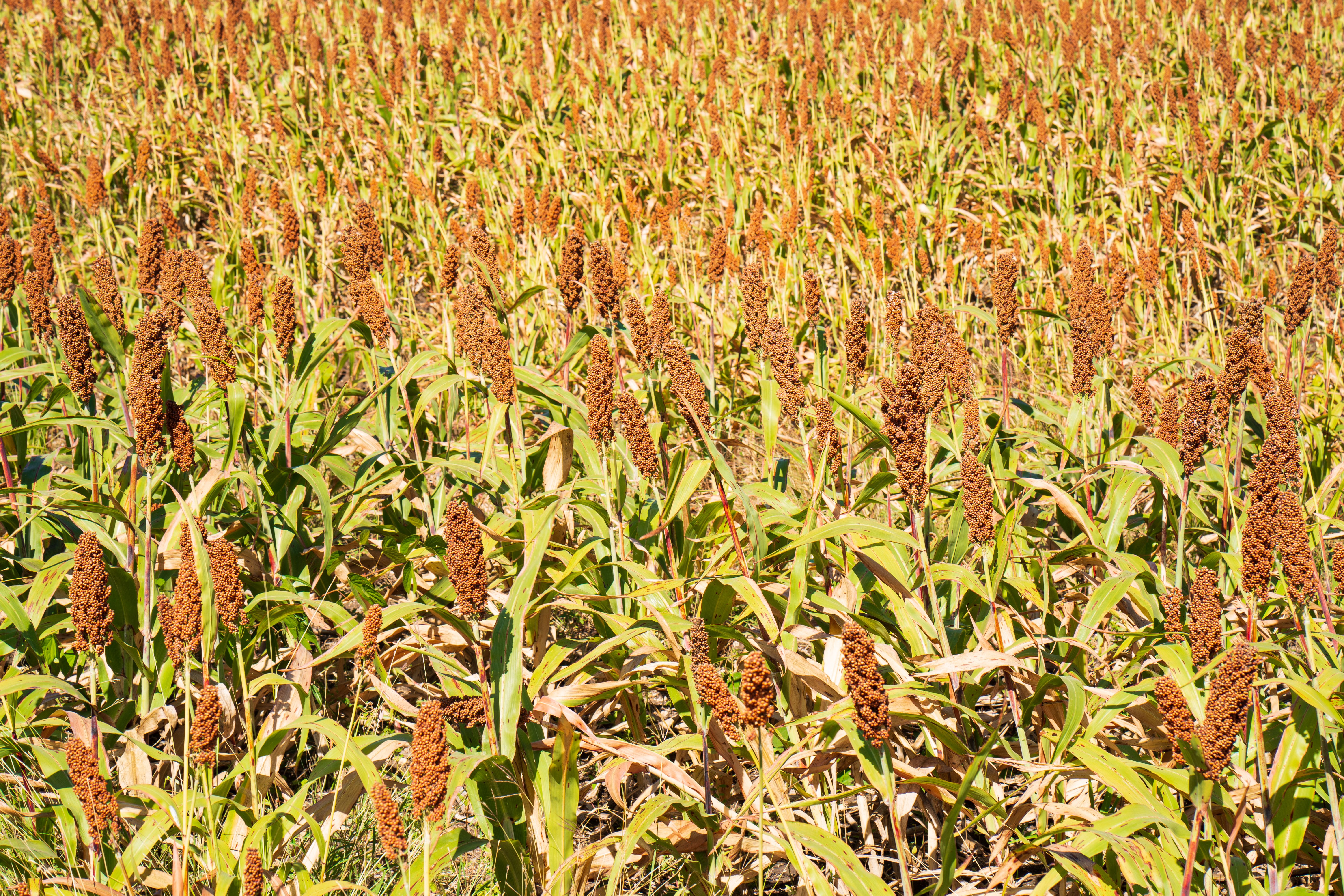
Water Soldier control in various crops

Flexible Service Delivery
API Integration
Seamlessly connect Sairone’s advanced AI services to your existing systems through modular, easy-to-use APIs.
Fully White-Labeled Solutions
Get a tailor-made version of Sairone—branded, customized, and built specifically for your unique business needs.
Online Web Application
Use our powerful online platform with scalable cloud processing and budget-friendly
Try it for free now
Contact us if you have any questions