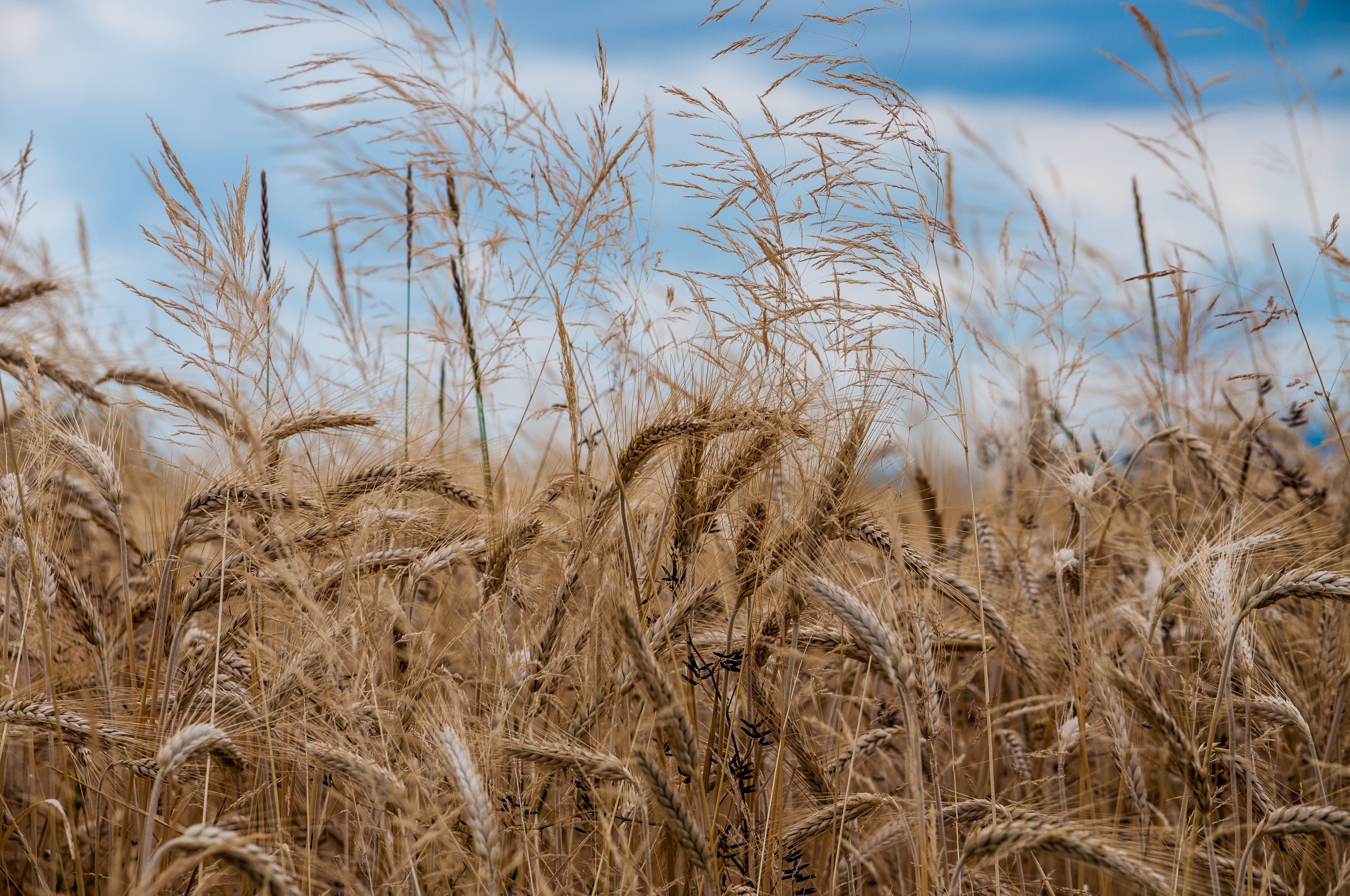
Knotweed
Controlling Knotweed in any crops
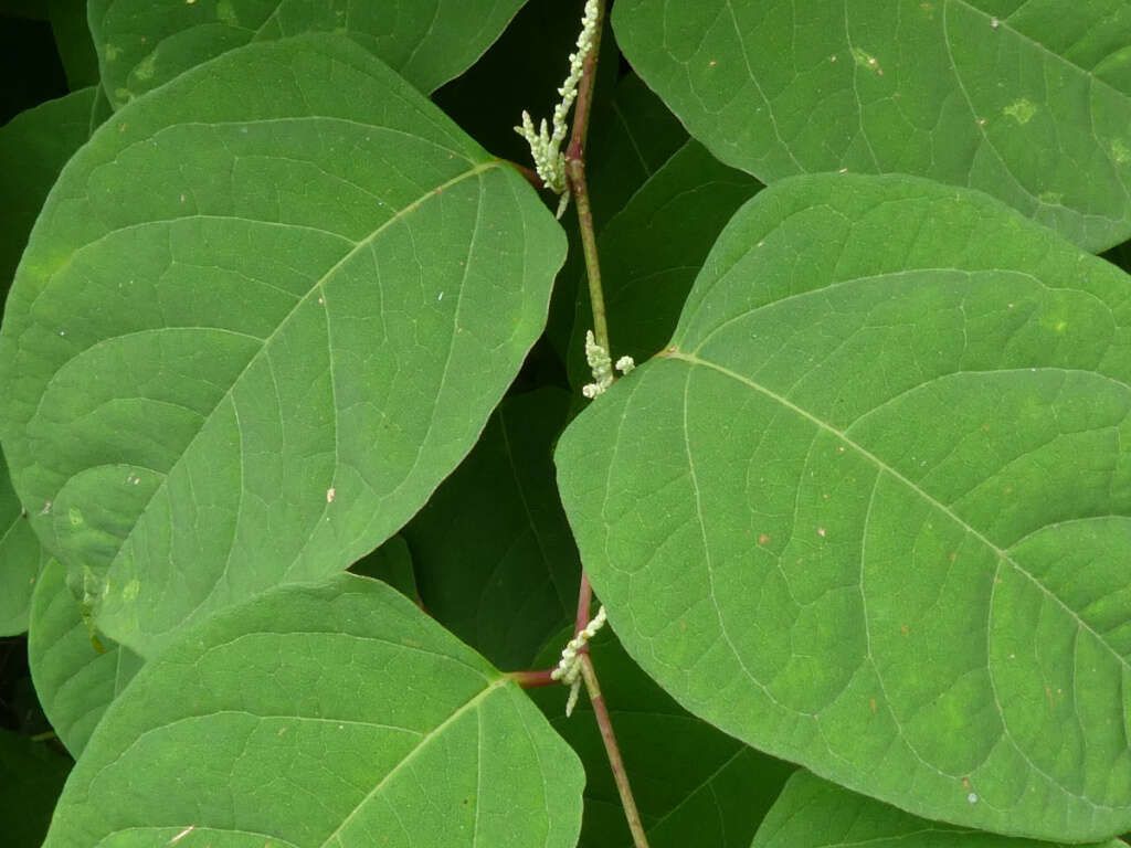
Knotweed commonly refers to invasive plants in the Polygonum or Fallopia genus, with Japanese knotweed (Fallopia japonica) being the most notorious. Native to East Asia, it has spread aggressively across Europe, North America, and parts of Australia and New Zealand. It thrives in a variety of environments, including riverbanks, roadsides, and disturbed soils, and is known for forming dense thickets that outcompete native vegetation and damage infrastructure.
Japanese knotweed is a tall perennial with bamboo-like hollow stems, heart- or shovel-shaped leaves, and small white flowers that bloom in late summer. It can be identified by its zigzag stem pattern and rapid growth, reaching up to 3 meters in height. Other variants include Giant knotweed (Fallopia sachalinensis), which is taller with larger leaves, and Bohemian knotweed , a hybrid of the two with intermediate traits. These species differ in leaf shape, stem thickness, and habitat preference but all share aggressive growth and deep rhizome systems.
While knotweeds are more notorious for their ecological and structural damage than direct agricultural impact, they can still invade farmland margins and reduce pasture quality or hinder access to fields. Their underground rhizomes are extremely resilient, making control difficult. Effective management includes mechanical removal combined with systemic herbicides, repeated treatments, or biological control (e.g., Aphalara itadori, a sap-sucking insect under study). Invasive knotweeds pose significant long-term management challenges due to their persistence and rapid regrowth.
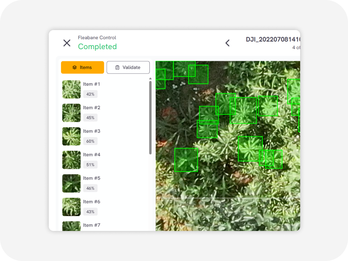
We employ a cutting-edge, real-time object detection model to identify Knotweed and other invasive species efficiently. This model is designed to balance high-speed inference with accuracy, making it ideal for real-time applications.
Ready to elevate your Images/Videos?
How it works?
Easy to use online cloud-based web service
Upload Images/videos
Aerial videos/images in various formats Orthophoto/TIFF images RGB, multispectral, thermal Surveillance (CCTV) cameras Agricultural machinery camera
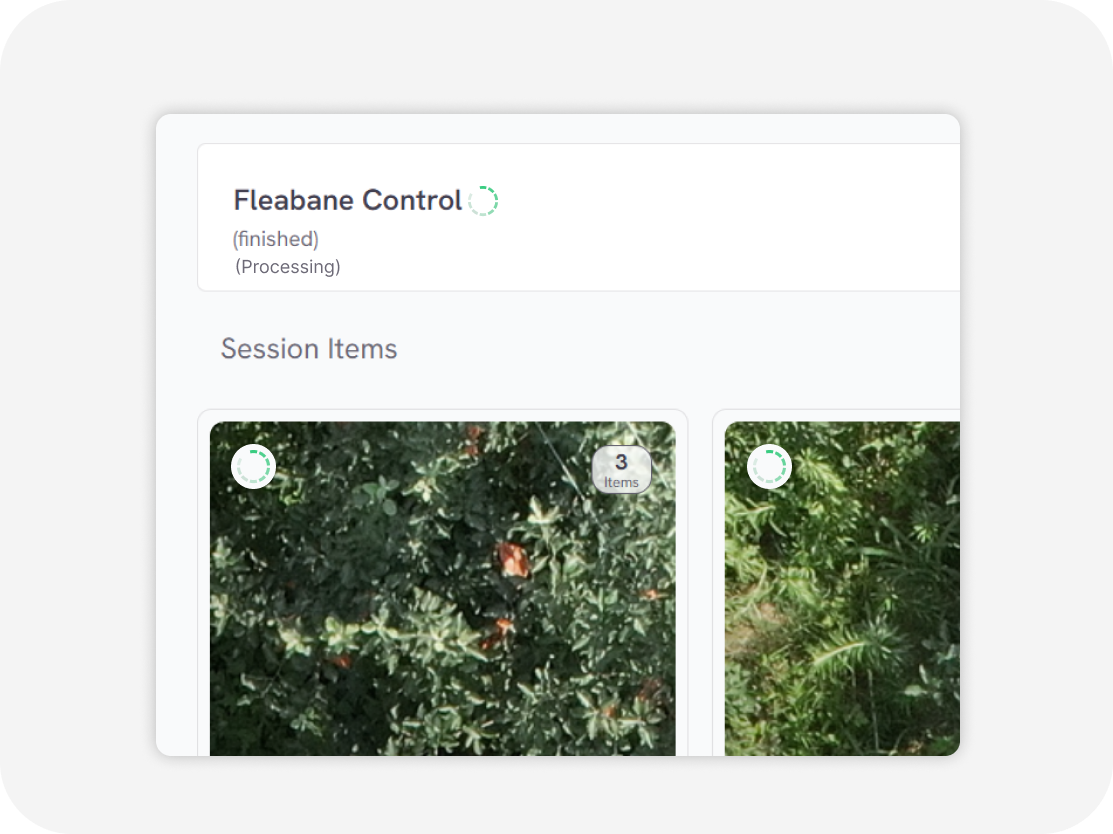
Processing
in second
Download output
Weed distribution map with GIS data Weed clustering map with GIS data (GeoJSON, Shapefile, KML, CSV)
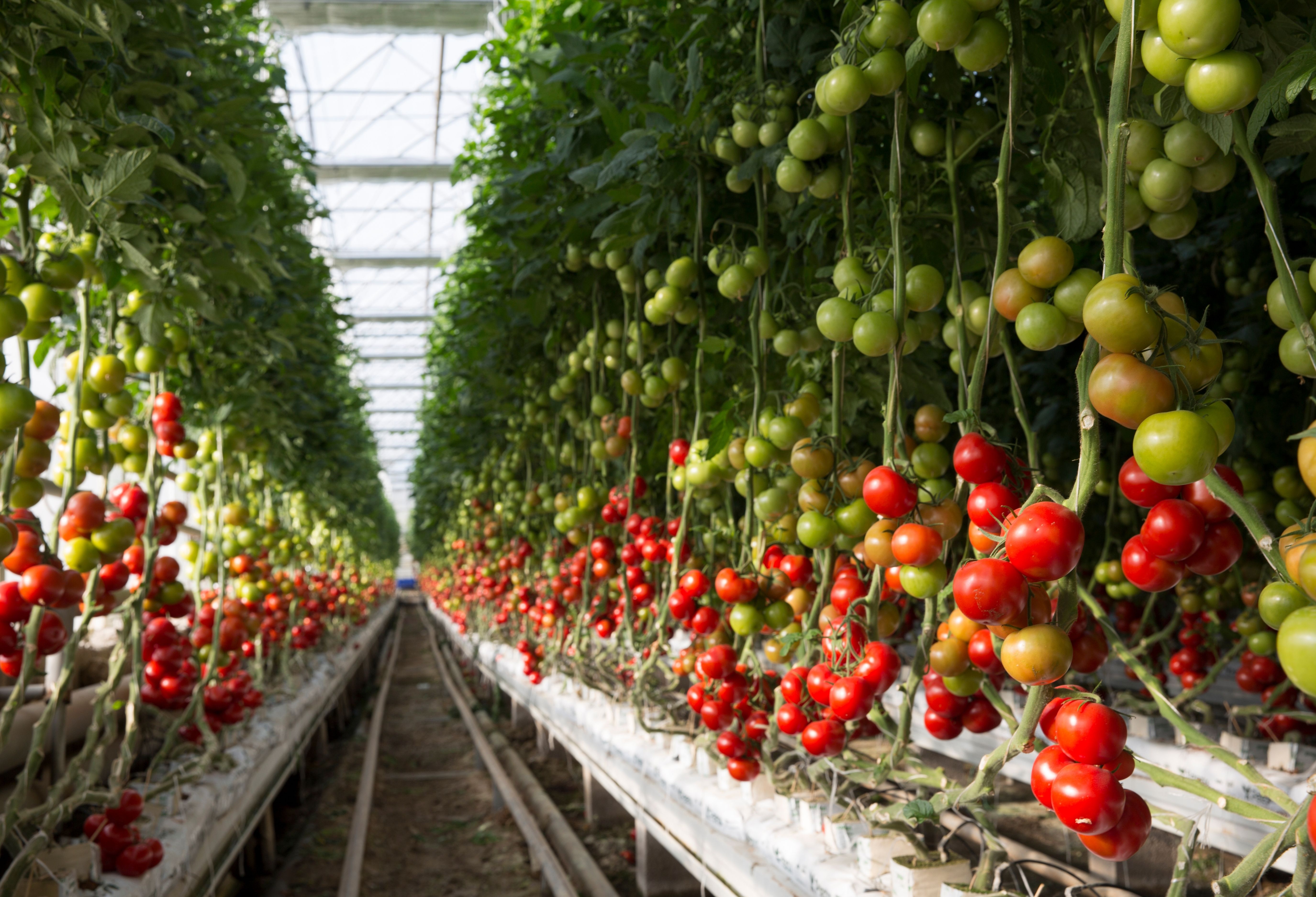
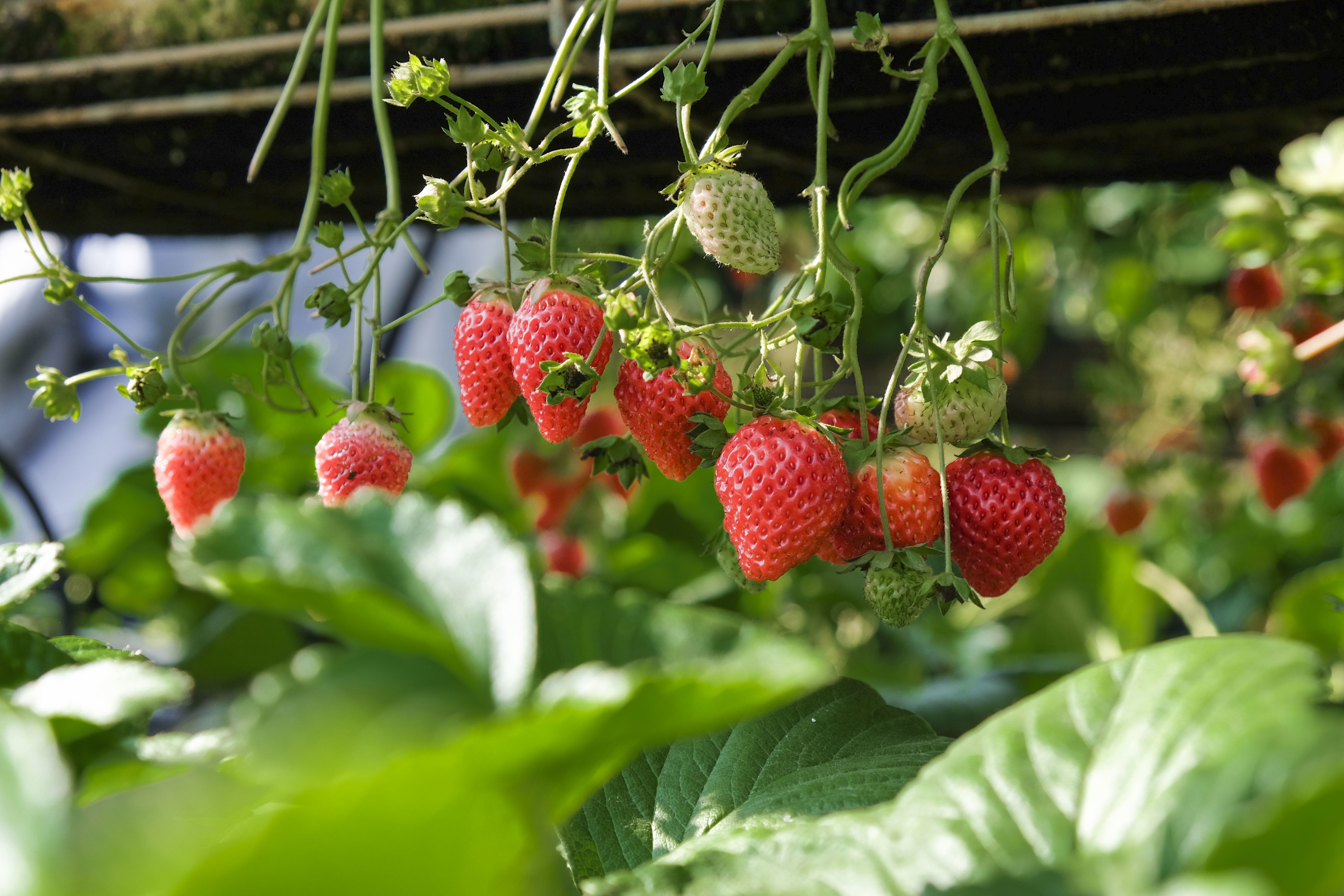
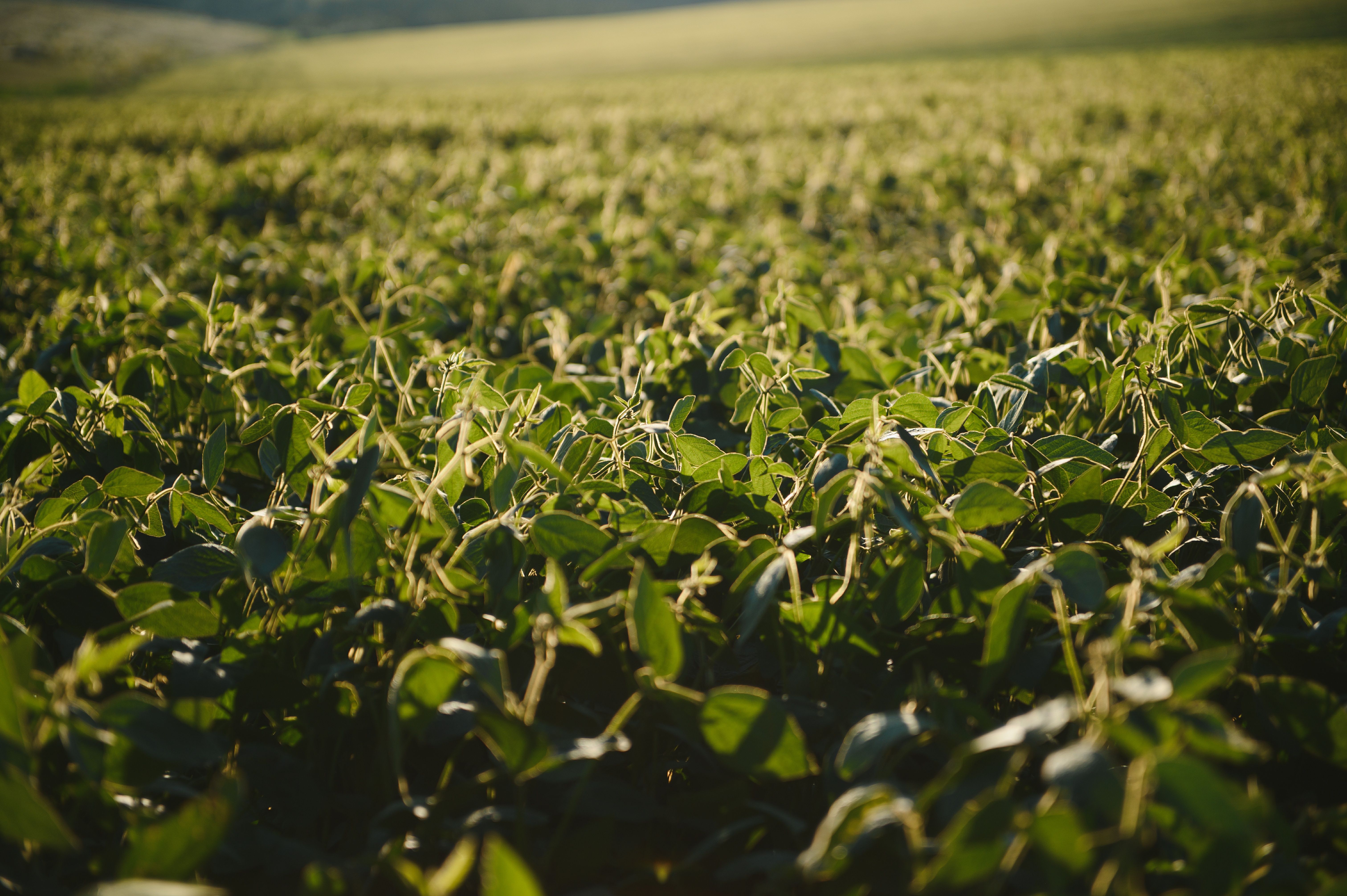
Knotweed control in various crops

Flexible Service Delivery
API Integration
Seamlessly connect Sairone’s advanced AI services to your existing systems through modular, easy-to-use APIs.
Fully White-Labeled Solutions
Get a tailor-made version of Sairone—branded, customized, and built specifically for your unique business needs.
Online Web Application
Use our powerful online platform with scalable cloud processing and budget-friendly