Goosefoot Weed
Controlling Goosefoot Weed in any crops
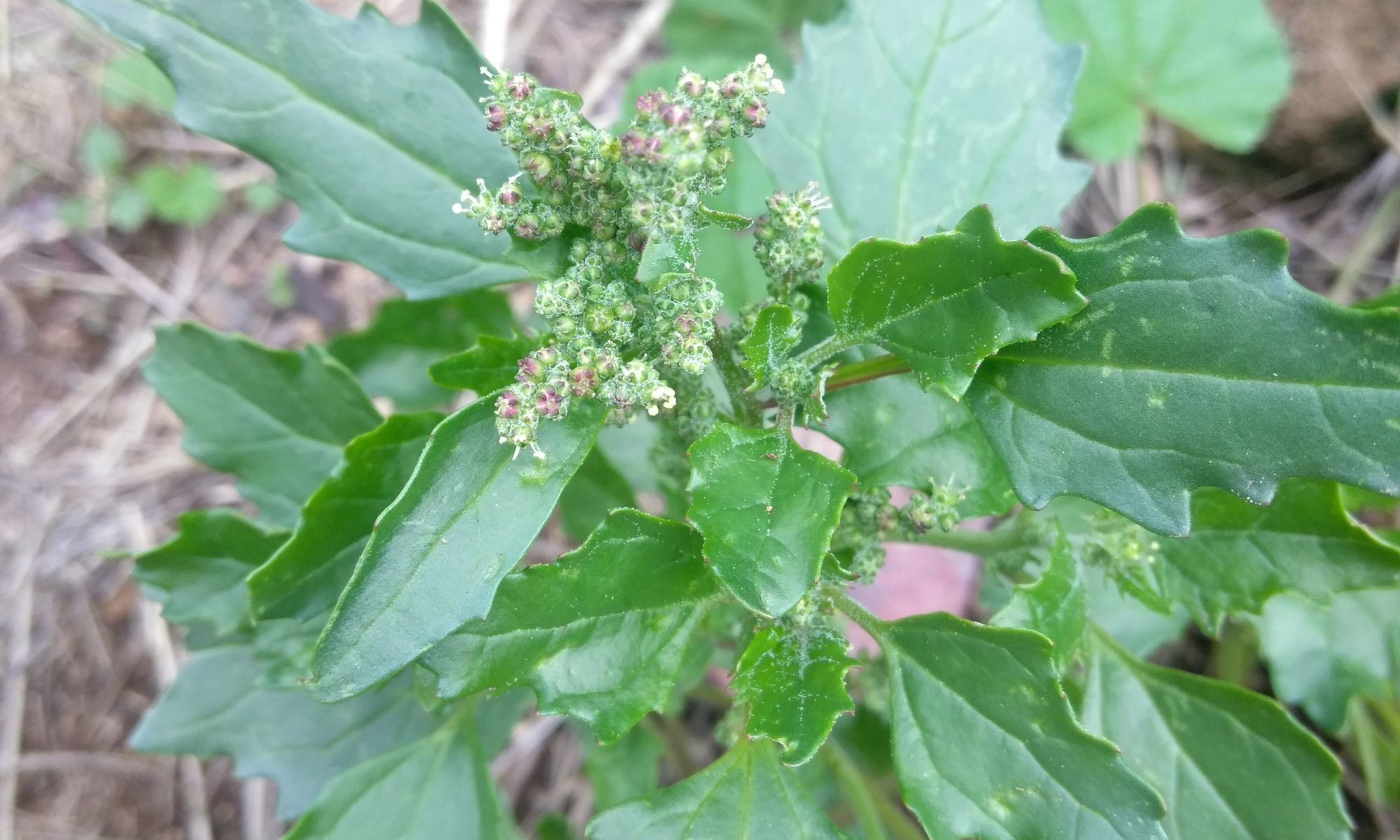
Goosefoot weed typically refers to plants from the Chenopodium genus, especially Chenopodium album, commonly known as lamb’s quarters. This fast-growing annual weed is native to Europe and Asia but has become widespread across North and South America, Africa, and Australia. It thrives in disturbed soils, particularly in nutrient-rich fields, gardens, and waste areas, making it one of the most common and persistent agricultural weeds worldwide.
Lamb’s quarters can be identified by its upright growth (up to 1.5 meters), angular stems often tinged with red or purple, and triangular to diamond-shaped leaves with toothed edges. The upper leaves and young growth are often coated in a white, powdery film that helps distinguish it from similar weeds. The plant produces small green flowers in dense clusters at the top of the stem. Other Chenopodium species—like Chenopodium murale (nettle-leaved goosefoot) or Chenopodium berlandieri—vary in leaf shape, size, and growth habit but share the weedy, fast-spreading nature.
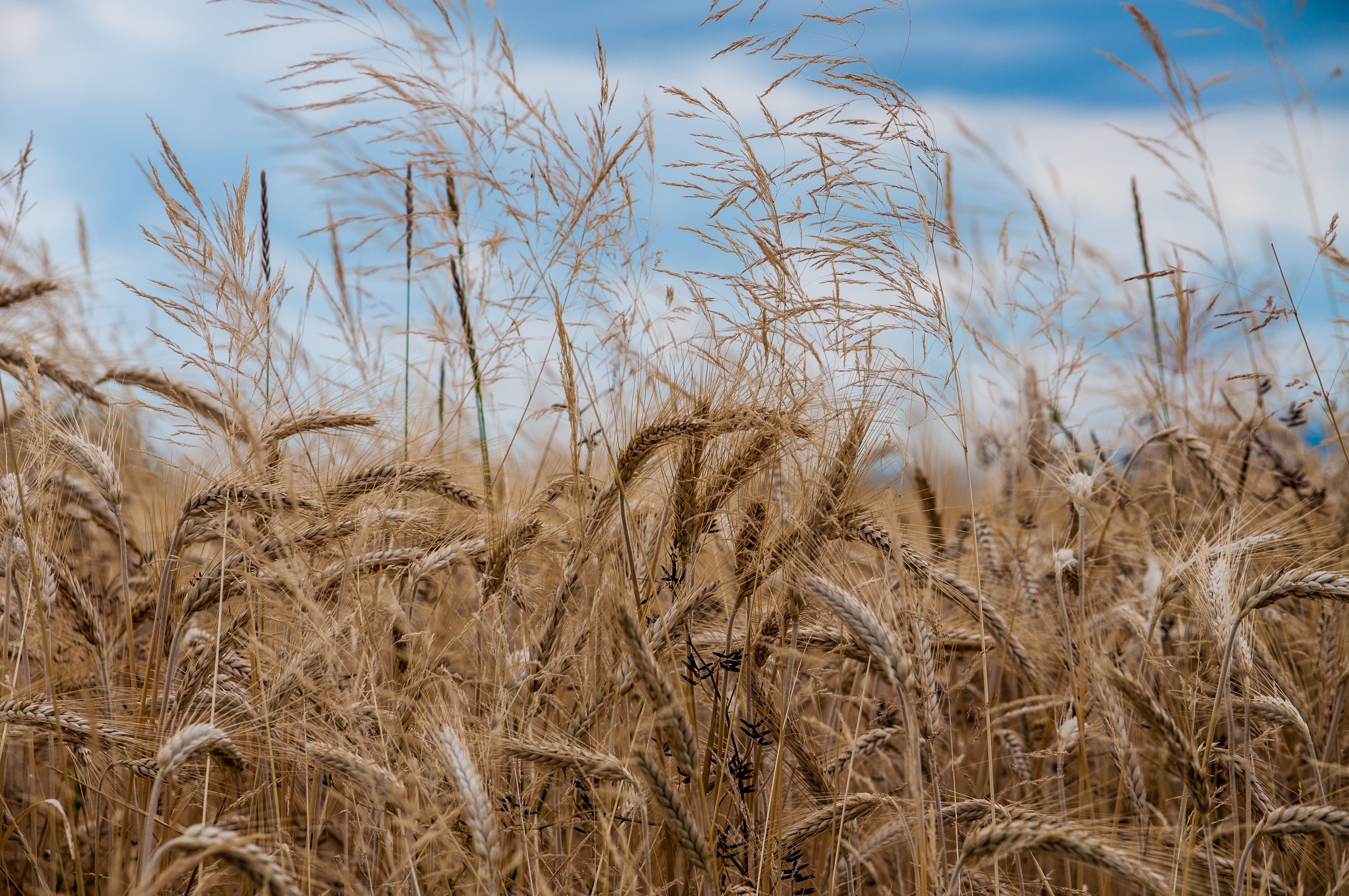
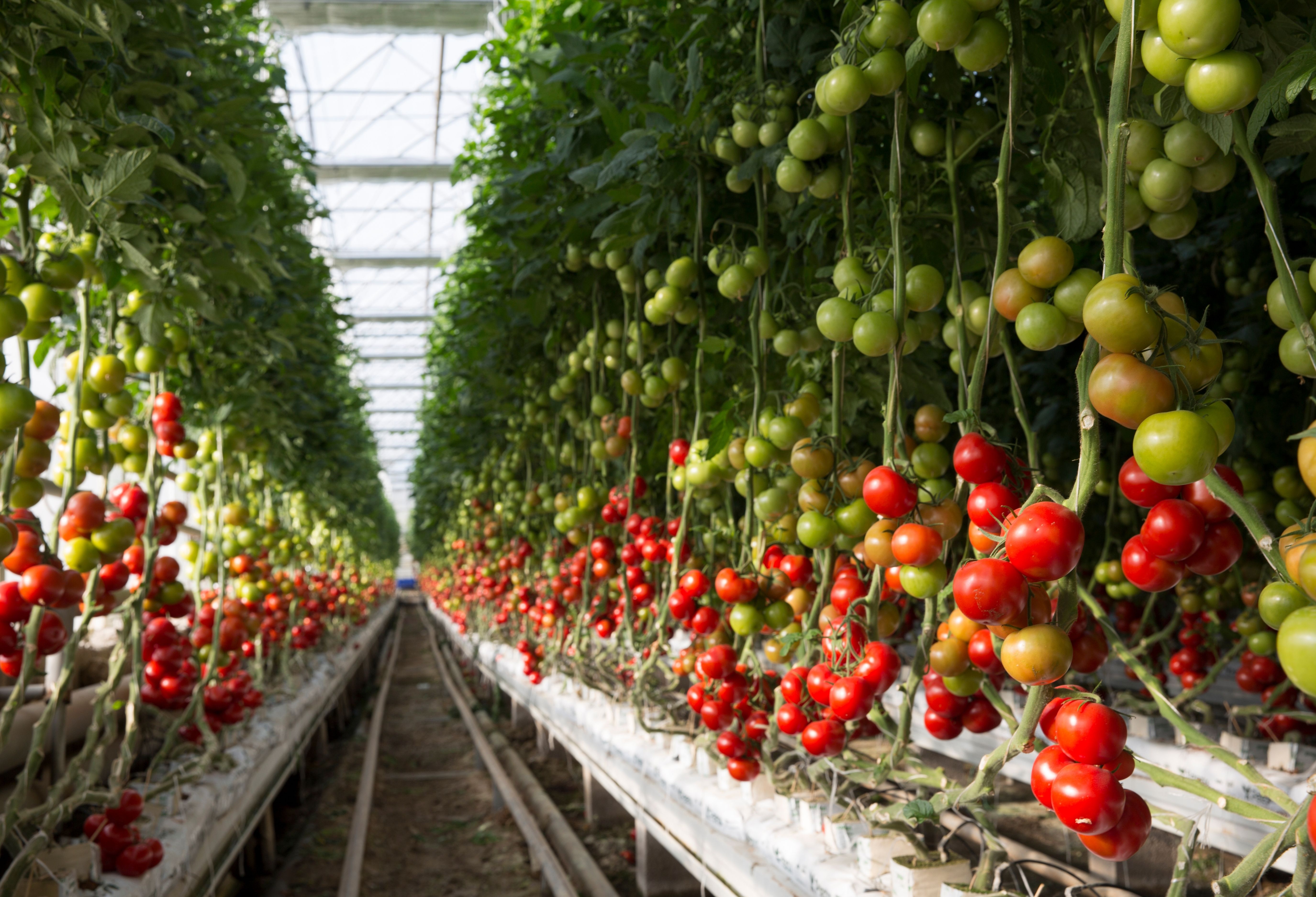
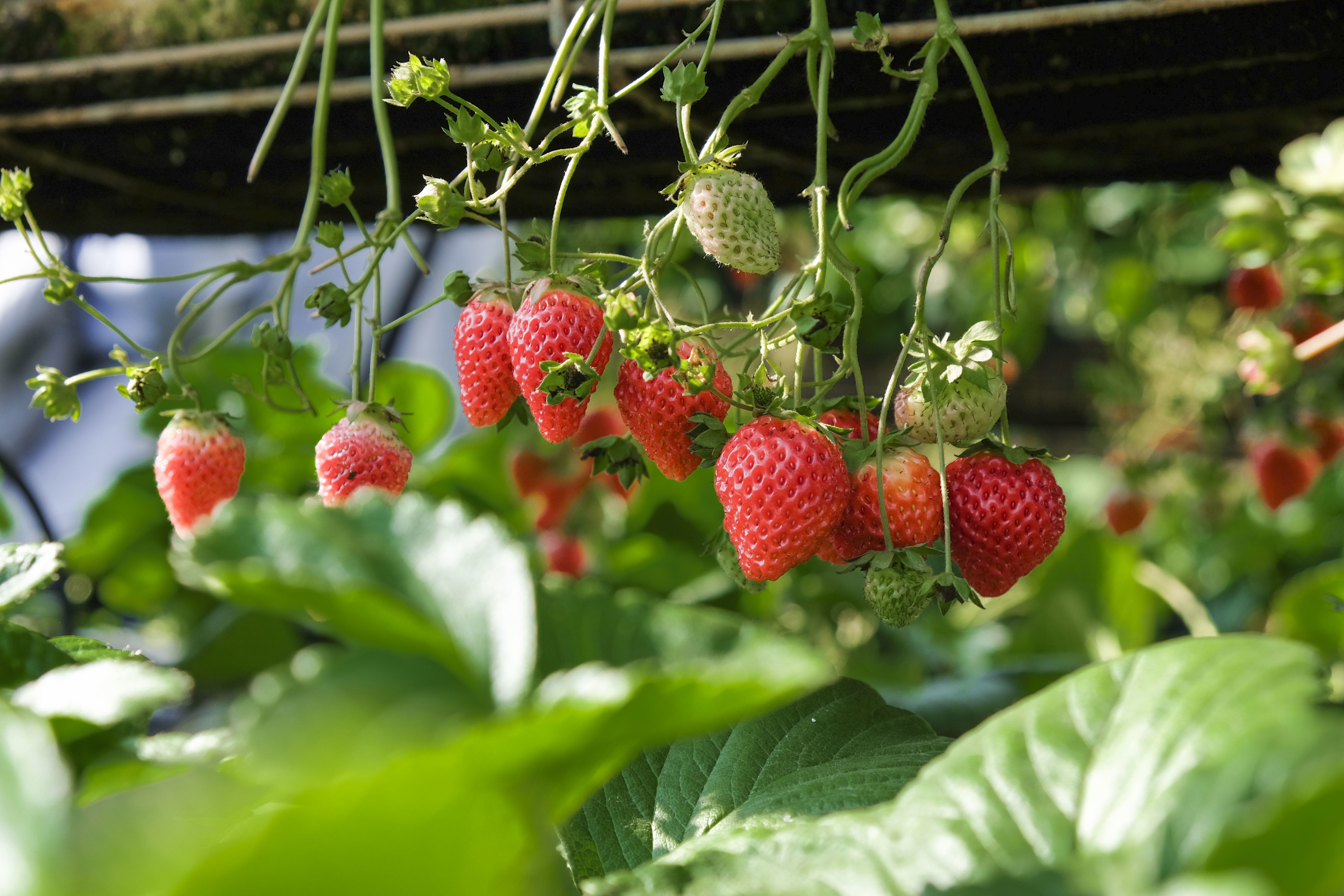
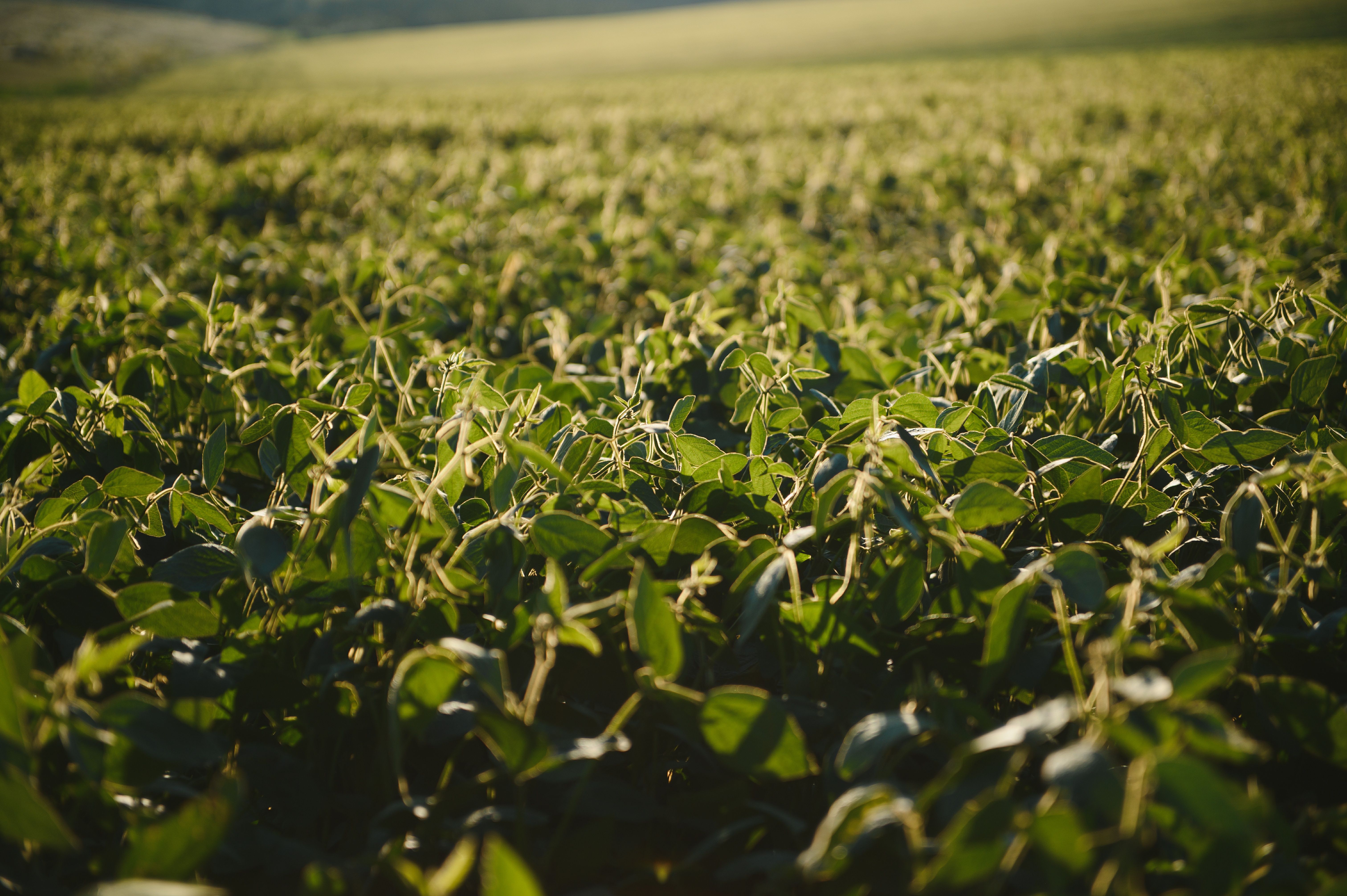
Goosefoot weeds affect a wide range of crops, including cereals (especially wheat and corn), vegetables (such as potatoes, carrots, and onions), and legumes. Their rapid growth, high seed output, and resistance to some herbicides make them particularly troublesome in reduced-tillage or organic farming systems. Besides competing for resources, they can also host pests and diseases that affect crop health. Effective control includes early mechanical removal, crop rotation, and integrated weed management practices.
We employ a cutting-edge, real-time object detection model to identify Goosefoot Weed and other invasive species efficiently. This model is designed to balance high-speed inference with accuracy, making it ideal for real-time applications.
Ready to elevate your Images/Videos?
How it works?
Easy to use online cloud-based web service
Upload Images/videos
Aerial videos/images in various formats Orthophoto/TIFF images RGB, multispectral, thermal Surveillance (CCTV) cameras Agricultural machinery camera
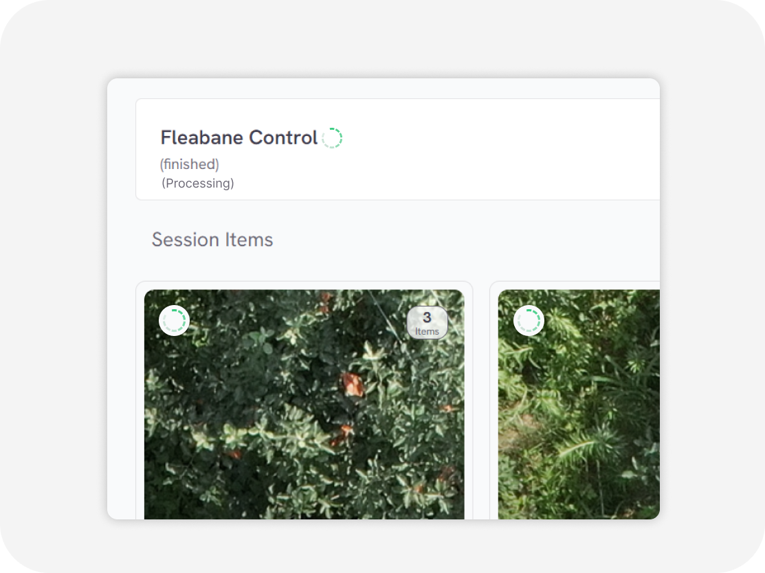
Processing
in second
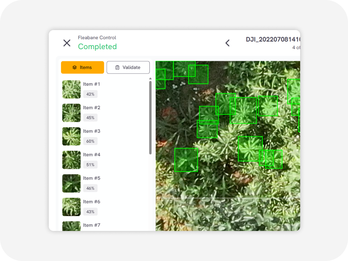
Download output
Weed distribution map with GIS data Weed clustering map with GIS data (GeoJSON, Shapefile, KML, CSV)
Goosefoot Weed control in various crops

Flexible Service Delivery
API Integration
Seamlessly connect Sairone’s advanced AI services to your existing systems through modular, easy-to-use APIs.
Fully White-Labeled Solutions
Get a tailor-made version of Sairone—branded, customized, and built specifically for your unique business needs.
Online Web Application
Use our powerful online platform with scalable cloud processing and budget-friendly