AI-Powered Tree Identification & Counting from Drone Imagery
Status:Delivered(Started in Thu Jan 01 2026 and Finished in Sat Feb 28 2026)
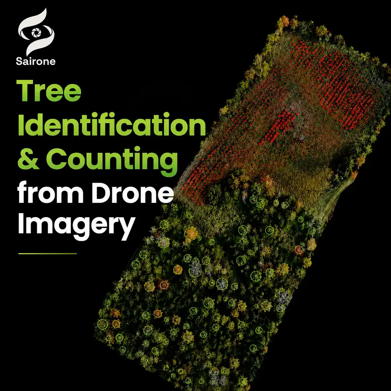
Saiwa collaborated with Windward Drones to develop an AI-powered solution that automatically identifies, counts, and maps individual trees from high-resolution drone imagery. By combining advanced computer vision with aerial data collection, the system transforms thousands of images into accurate, geo-referenced forestry insights in just minutes. The solution helps forestry professionals, landowners, and environmental organizations streamline inventory management, monitor large landscapes more efficiently, and make faster, data-driven decisions with detailed visual reports and spatial analytics.
About Windward Drones
Windward Drones delivers reliable, precision drone solutions for agriculture, inspections, mapping, and imaging. Their expert team ensures consistent data, timely reporting, and tailored services—including multispectral imaging and site monitoring—to help businesses gain insights, improve quality, and maintain a competitive edge.
Saiwa collaborated with Windward Drones to develop an AI-powered workflow for identifying and counting specific tree species from aerial imagery collected by drones. In this collaboration, Windward Drones led aerial data acquisition and field operations, while Saiwa developed the AI models and software pipeline that transformed those images into usable insights. The result was a streamlined workflow capable of processing drone imagery in minutes and generating reports that quantified detected trees and their spatial distribution, reducing the time and manual effort traditionally required for forest assessment and inventory activities.
About Windward Drones
Windward Drones is a Canadian drone services company focused on collecting high-quality aerial data for industries that depend on accurate field information. Their work includes mapping, imaging, inspection, inventory workflows, and multispectral data collection using advanced drone systems. By combining modern sensors with efficient field operations, they help organizations gather detailed visual data that can be used for analysis, monitoring, and decision-making across large and complex environments. Their approach emphasizes fast deployment, reliable data capture, and practical outcomes for clients in the field.
Industry Challenge
Monitoring trees at scale is not just a forestry challenge, it is also an inventory challenge. Forest managers, landowners, and nurseries all need reliable visibility into what is happening across their sites: how many trees are present, where they are located, and whether there are patterns that require attention. Traditional surveys often require teams to move through large areas manually, recording observations tree by tree—a process that can become time-intensive, expensive, and difficult to repeat frequently. At the same time, organizations increasingly need more than general forest estimates. They need visibility at the individual-tree level: identifying species, tracking changes over time, estimating inventory, and understanding conditions across large landscapes.
High-resolution aerial imagery and remote sensing technologies now make it possible to monitor larger areas more efficiently while collecting detailed information that supports inventory, planning, and environmental decision-making.
Our Solution
We built an AI-driven analysis workflow designed to convert aerial imagery into practical insight in forestry. Once drone images are collected, Sairone's computer vision models automatically process the data to detect, identify, and count target trees across the surveyed area.
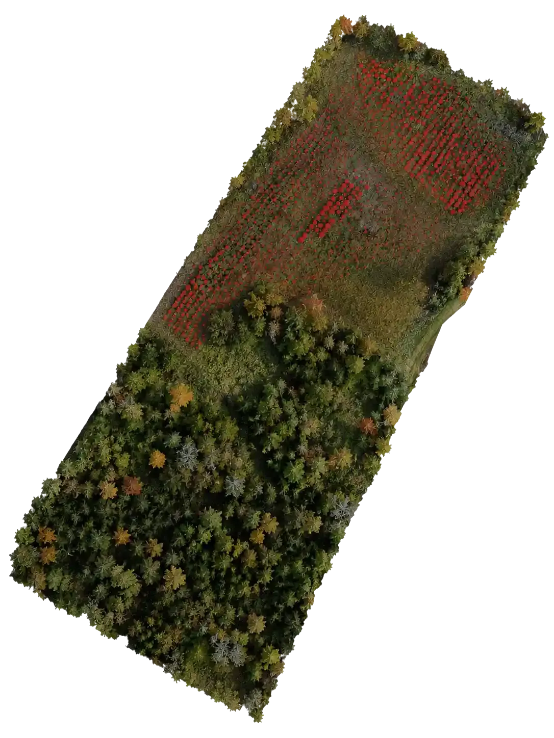
Beyond simple counts, the system can generate per-tree assessments through georeferenced maps, allowing users to see exactly where identified trees are located across the surveyed area. When broader spatial patterns emerge, the platform can also produce heat maps to highlight trends and areas of interest. These outputs can support survey teams directly in the field or serve as base layers that integrate into existing geospatial and GIS workflows for further analysis and decision-making.
Instead of manually reviewing thousands of images, users receive structured outputs and visual reports that summarize detected trees and their distribution. This approach reduces analysis time, improves consistency across surveys, and enables forestry teams to move from data collection to decision-making much faster.