


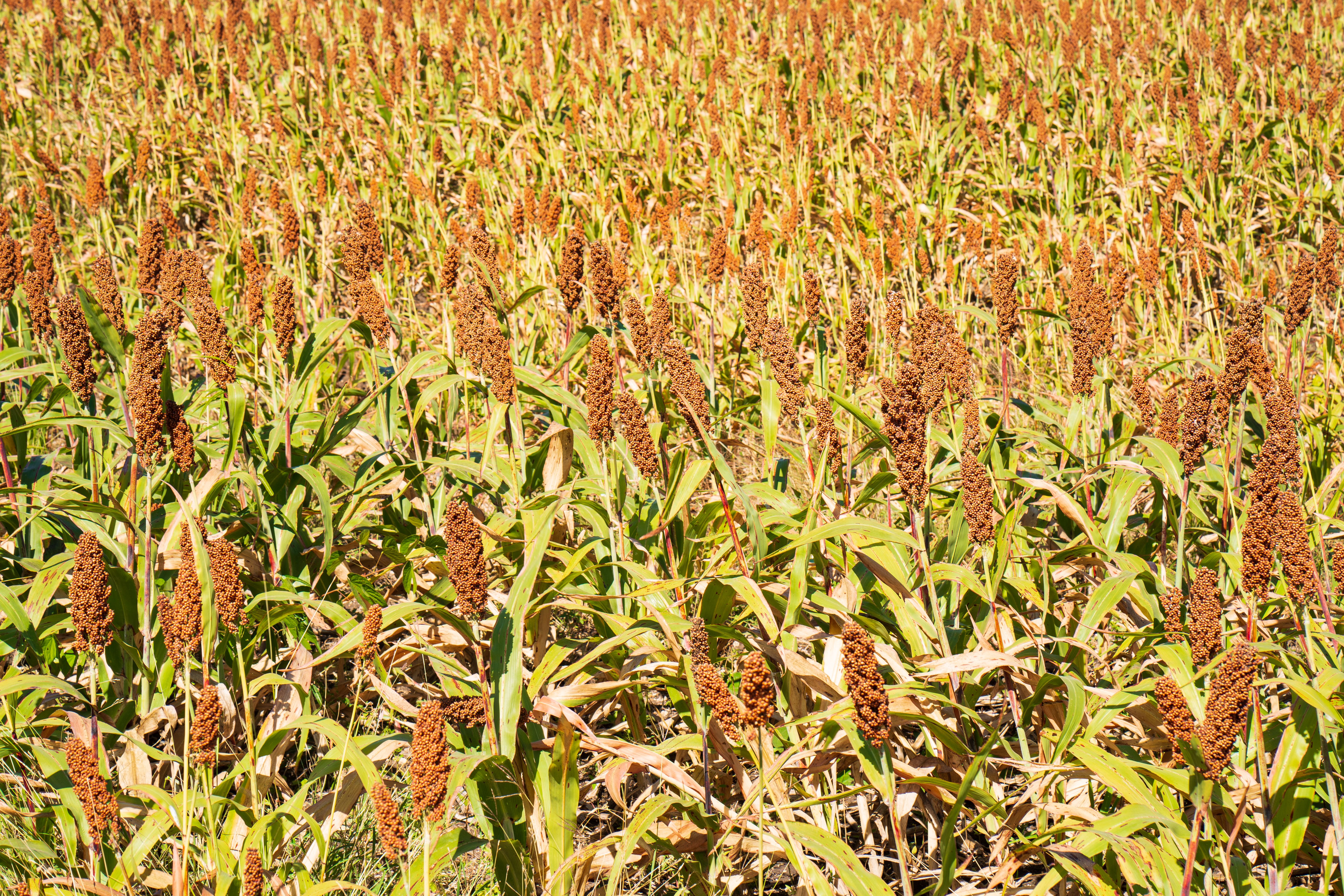
AI-based analysis for Sorghum growing
Empowering growers, agri-corporations, and agro-service providers
Benefits you get
Sorghum is a cornerstone crop in agriculture, but it's highly vulnerable to weeds, pests, diseases, and nutrient deficiencies. With Sairone, growers gain powerful tools to monitor, protect, and improve their corn fields using AI-driven insights from drone or satellite imagery.
- Save Time and Labor
- Avoid overuse of fertilizers, herbicides, and pesticides
- Early detection of stress, pests, weeds, and nutrient deficiency
- Map-based recommendations for spraying and fertilizing
- Improve logistics planning with yield estimates

Customizable Solutions
Weed Control
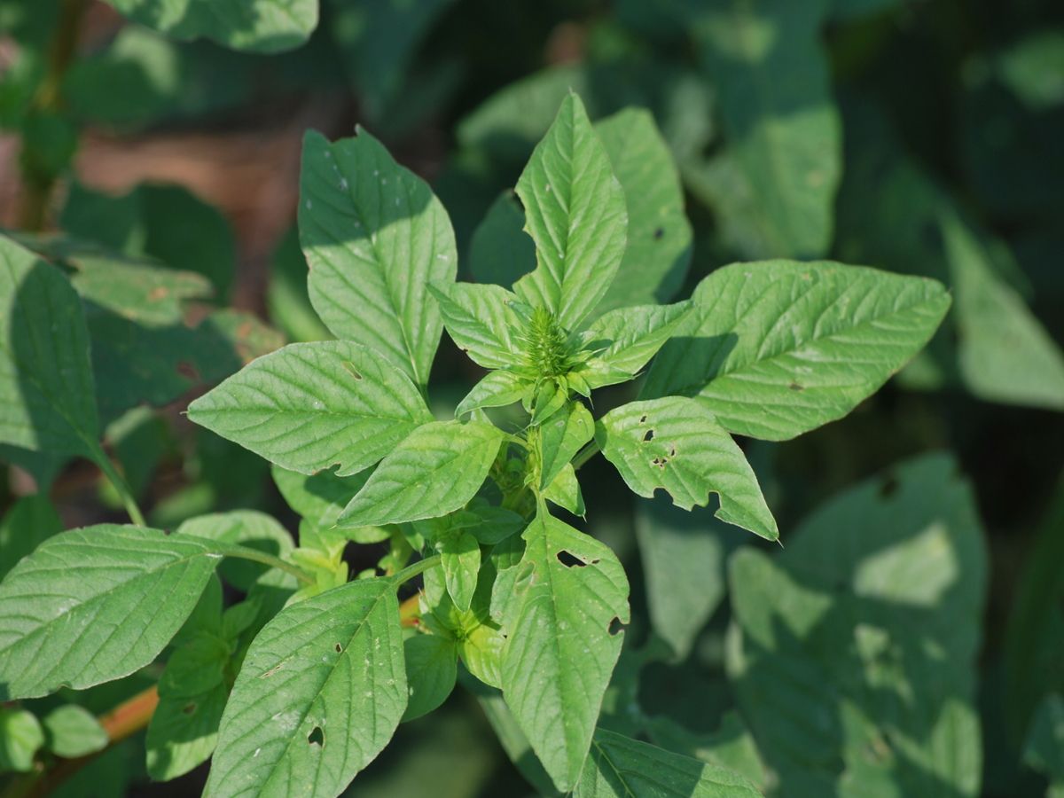
Amaranthus Palmeri
Chenopodium Album
Bassia Scoparia (Kochia)
Raphanus Raphanistrum
Plant Health Monitoring
Crop Diseases Detection
Crop Yield Estimation
Crop Monitoring
Nitrogen Content Estimation
Sorghum Yield Estimation
Estimate sorghum grain yield with AI by analyzing head density and field variability.
- AI-based panicle detection
- Growth stage mapping (boot to maturity)
- Yield maps with geotagged outputs
- Comparative productivity analysis
- API integration for harvest scheduling

Weed Mapping in Sorghum
Identify weed infestations in sorghum fields to protect yields and optimize herbicide use.
- Weed species identification
- Polygon Mapping & Clustering
- Integration with herbicide spray plans
- Exportable field maps

Detecting and Controlling Sorghum Weeds


Ready to Estimate Crop Yield?
How it works?
Analyze your Sorghum fields in three simple steps
Step 1 · Input
Upload your field imagery
Send drone, satellite, CCTV or machinery-camera footage in common formats. No special preparation needed.
- RGB
- Multispectral
- Thermal
- Orthophoto / TIFF
Step 2 · AI analysis
AI analyzes Sorghum
Our cloud models scan every frame, then locate and classify Sorghum plants automatically. No installation or setup needed.
- Cloud-based
- Zero installation
Step 3 · Output
Get maps ready for action
Download distribution maps of Sorghum with GIS data, ready for field monitoring and decisions.
- GeoJSON
- Shapefile
- KML
- CSV
Flexible Service Delivery

API Integration
Seamlessly connect Sairone’s advanced AI services to your existing systems through modular, easy-to-use APIs.

Fully White-Labeled Solutions
Get a tailor-made version of Sairone—branded, customized, and built specifically for your unique business needs.

Online Web Application
Use our powerful online platform with scalable cloud processing and budget-friendly