We're excited to share highlights from the recent Invasive Species Forum 2024 (Invasive Species Centre), held from February 12th to 15th. This event unites experts from across Canada and neighboring U.S. states to spotlight the latest in invasive species research, prevention, and management strategies.
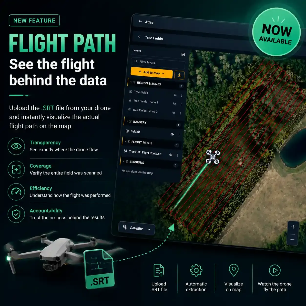
At this year’s forum, we were privileged to announce our #innovative collaboration with Ducks Unlimited Canada. Together, we presented our developed innovative software during the "Monitoring, Policy, and Innovation Part II" session, marking a significant leap forward in our fight against invasive species.
Our presentation, "Advancing Automation in the Detection and Surveillance of Invasive Species via Machine Learning: A Focus on the European Water Chestnut," showcases our latest efforts in leveraging technology for environmental conservation. We invite you to view the recorded session here and join us in exploring the forefront of ecological preservation. Click here to see the video.

Share this event
Help others discover this content