
Sairone Online Demo is Released
Wed Feb 07 2024
Wed Feb 07 2024
The Saiwa platform enables the deployment of AI models across several industry verticals, such as food and beverage processing, by offering an intuitive interface with state-of-the-art "pre-baked" image processing and vision algorithms.
Our latest product, Sairone, is a digital platform that enables farmers, greenhouse operators, and environmental technicians to manage their own agricultural imaging data from fields, orchards, and greenhouses. In Sairone, we provide a cutting-edge technology that is transforming the agricultural industry by giving producers access to real-time data analysis and insights, enabling them to take proactive measures to enhance agricultural productivity and performance.
With modules like video stream management from drones and cameras, extraction of particular frames, image labeling, smooth image sharing among users, and streamlined report generation for operational or managerial considerations, our technology provides an easy-to-use "Do It Yourself" platform.
Sairone can automate monotonous operations like finding, counting, or recording empty cells in greenhouse planting pots, or identifying serious nutrient deficits and invasive pests. Growers may be more proactive in their decisions about integrated pest control, nutrient inputs, and overall production costs by utilizing automated detection and counting systems, as well as real-time reporting of data or crucial circumstances.
With an overall view of the greenhouse with dashboards indicating key information such as number of empty cavities in each block of seedlings, number of seedlings per block, and more, greenhouse operators can plan and perform management activities faster.
Sairone is an integrated AI/ML-drone platform that improves environmental monitoring and agricultural productivity. Drones with AI capabilities are a new technology that is revolutionizing agriculture by giving farmers and environmentalists access to real-time data and insights that boost productivity and performance.
 Sep4
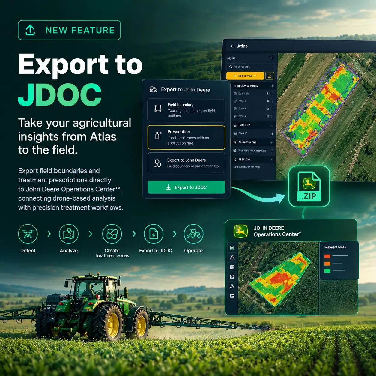
Sairone Atlas now lets you export field boundaries and treatment prescriptions directly for use in John Deere Operations Center™, connecting drone-based analysis with precision treatment workflows.
 Sep4
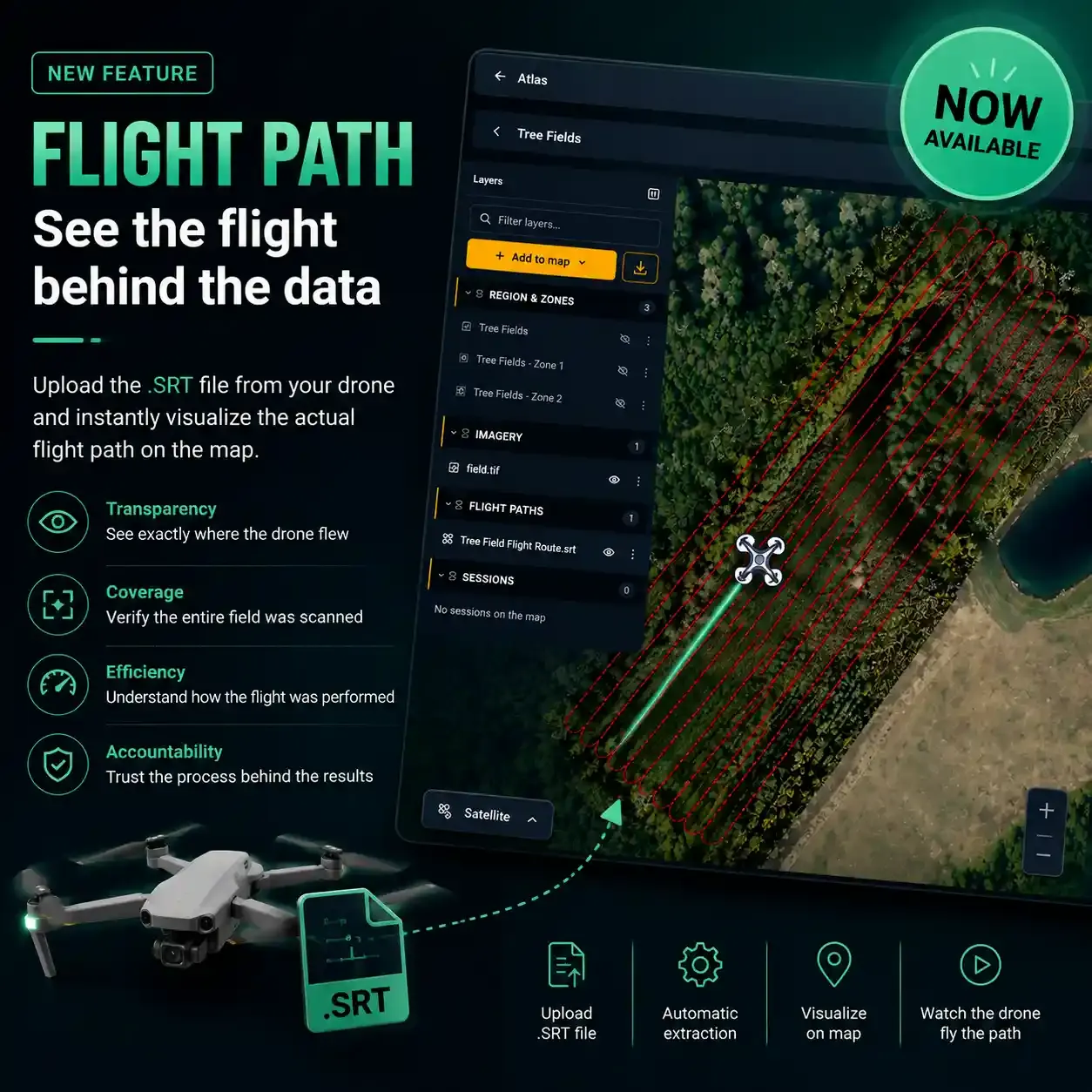
Flight Path is now available in Sairone Atlas, bringing greater transparency to drone-based data collection by visualizing the actual flight trajectory directly on your map.
 Aug13
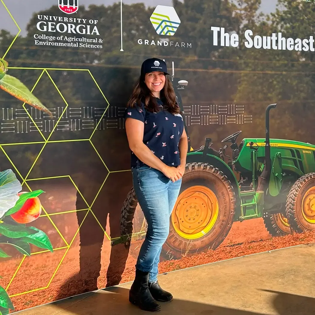
See how Saiwa.ai is bringing AI-powered image analysis to the forefront of precision agriculture. From connecting with industry leaders to demonstrating Sairone's capabilities, discover our experience at the UGA Grand Farm Field Day and the future of data-driven farming.
Get expert insights, product news, and industry trends delivered straight to your inbox.
No spam, unsubscribe anytime. We respect your privacy.