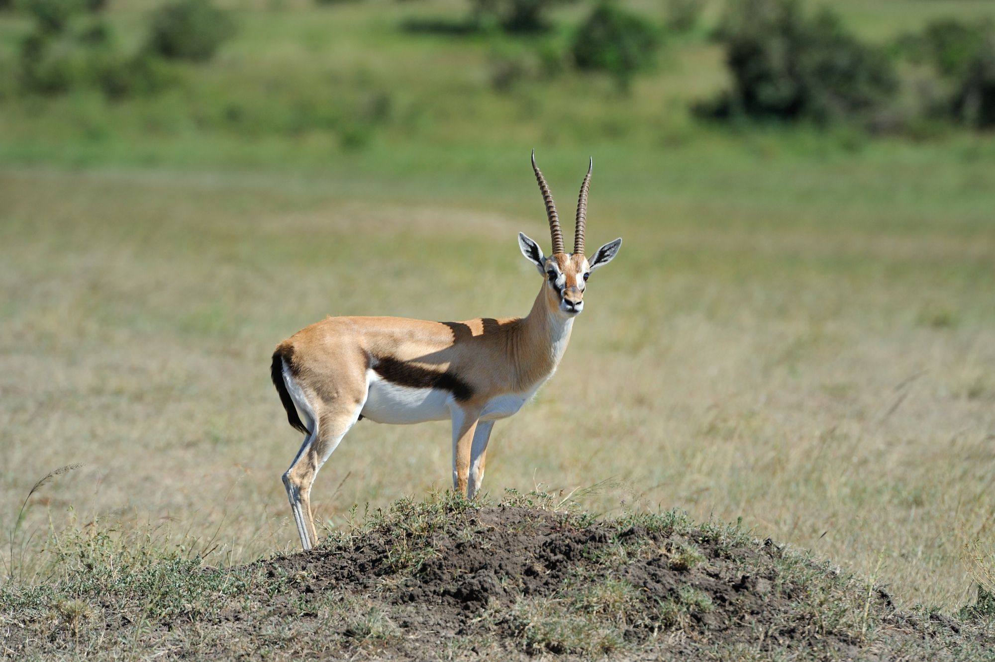
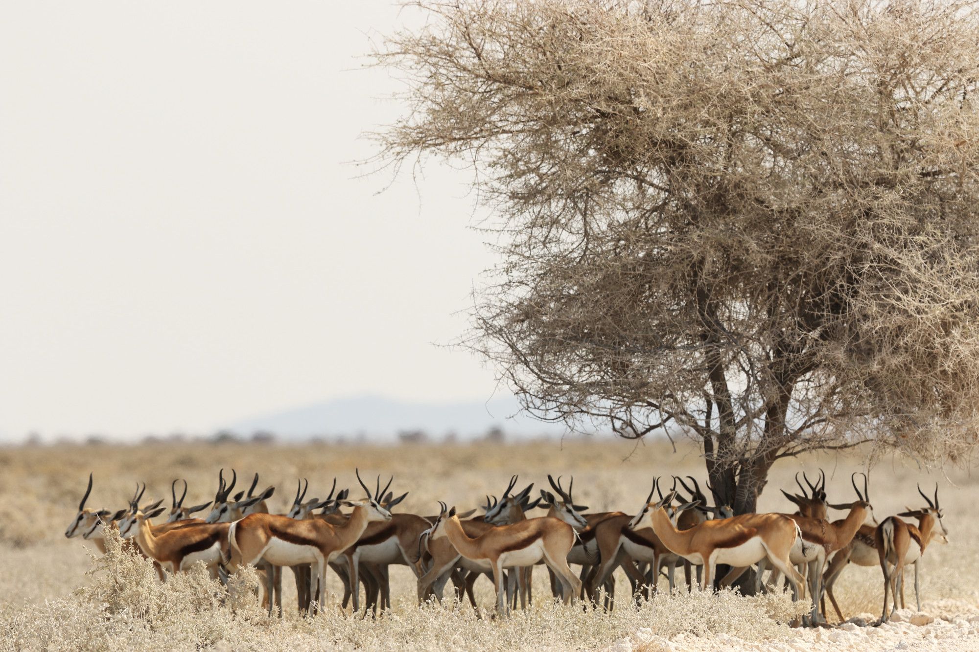
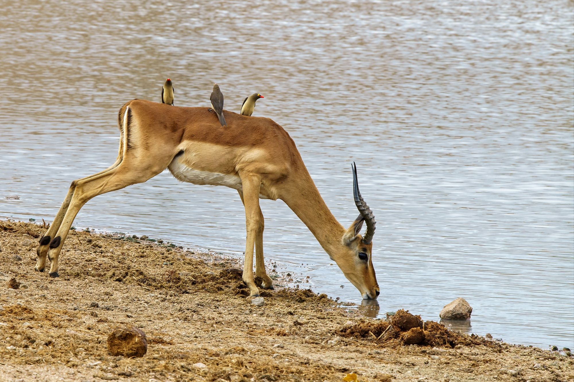
Gazelle
Savannah mammals like gazelles often live in groups, move over large ranges, and inhabit open grasslands or semi‑arid areas. Ground counts may miss individuals, especially when they are cryptic or spread out. Recent multi-species drone‑AI monitoring studies show that aerial imagery can be used to detect and monitor populations of diverse ungulates and smaller mammals.
Automated detection & counting from aerial images
Detect and count gazelles, and similar mammals in drone imagery.
Population density and distribution mapping
Map where herds aggregate, pasture usage, and habitat preferences.
Movement tracking & migration route analysis
Track herd movement over seasons or migration cycles.
Behavioral alerts
Detect unusual clustering, separation, or movement (could indicate danger, disturbance, or health issues).
How it works?
Easy to use online cloud-based web service
Upload Images/videos
Aerial videos/images in various formats Orthophoto/TIFF images RGB, multispectral, thermal Surveillance (CCTV) cameras Agricultural machinery camera
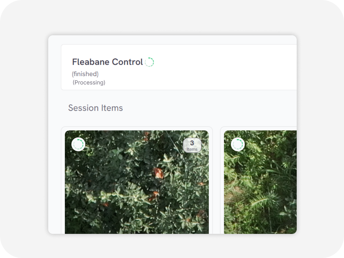
Processing
in second
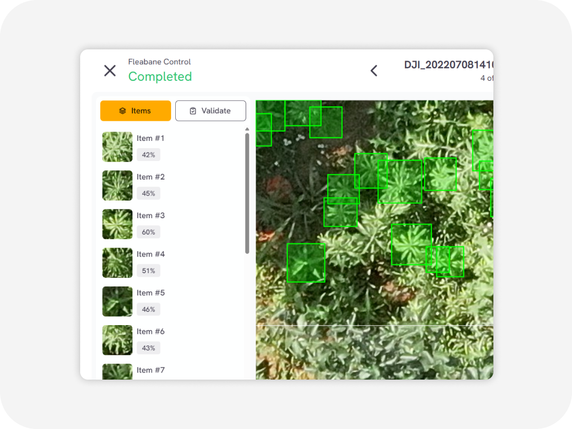
Download output
Weed distribution map with GIS data Weed clustering map with GIS data (GeoJSON, Shapefile, KML, CSV)
Flexible Service Delivery
API Integration
Seamlessly connect Sairone’s advanced AI services to your existing systems through modular, easy-to-use APIs.
Fully White-Labeled Solutions
Get a tailor-made version of Sairone—branded, customized, and built specifically for your unique business needs.
Online Web Application
Use our powerful online platform with scalable cloud processing and budget-friendly