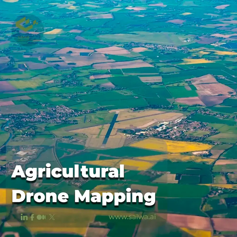
Fields from Above | Innovations in Agricultural Drone Mapping
Explore how drone mapping is transforming agriculture. Learn about AI-powered imaging, crop analysis, and precision farming innovations.
Written by Amirhossein
Reviewed by Boshra
Agriculture is under increasing pressure to produce higher yields with fewer resources to meet global food demand. However, challenges such as unpredictable weather, pests, plant diseases, and nutrient deficiencies make it difficult to optimize crops. Emerging drone technologies offer farmers a valuable new source of data through aerial crop mapping and analysis. This article explores the key benefits, drone hardware and sensors, data analysis techniques, applications, operational considerations, and immense potential of agricultural drone mapping technology.

Read Also: Leveraging Drones in Agriculture for a New Era of Data-Driven Farming

Defining Agricultural Drone Mapping
Agricultural drone mapping is the use of unmanned aerial vehicles (UAVs), commonly referred to as drones, equipped with various sensors and imaging technology to collect critical data about crops, soil and land. The collected data is then processed and analyzed to provide actionable insights for farmers and agronomists.
Drone Mapping Equipment and Technology
Agricultural drone mapping relies on specialized equipment and sensors to capture and analyze data:
Drone Hardware and Sensors
Agricultural drones use a variety of airborne sensor systems tailored for crop monitoring:
Multi-rotor drones provide vertical takeoff and landing with high maneuverability but short flight times of 15-30 minutes. Fixed-wing drones use forward motion to cover much larger areas on each flight, but require runway-style takeoffs. Hybrid VTOL fixed-wing drones offer the best of both worlds.
High-resolution RGB cameras provide standard visible imagery for field color variance analysis through image processing. Multi-spectral sensors capture narrow non-visible bands that correlate with plant health indicators such as chlorophyll content. Thermal cameras help identify areas of poor irrigation and hydric stress.
3D terrain models generated by LiDAR laser scanning help identify drainage problems and enable precise variable-rate irrigation. Hyperspectral sensors provide detailed chemical composition analysis to determine nutrient status.
Read Also: AI-Based Drone Operation| AI in Drones use cases

Data Analysis Techniques
Specialized algorithms and techniques process the aerial imagery captured by the drones:
Image segmentation divides the imagery into zones based on color and crop vigor, enabling the creation of zone-prescription maps. This allows for targeted actions such as watering or fertilizing only deficient areas.
Object detection techniques can automatically count crops, estimate yields, and map weeds and trees more efficiently than manual visual assessment.
Statistical classifiers that analyze spectral bands at different wavelengths can predict key parameters such as plant stress levels, yield predictions, and nutritional deficiencies, enabling preventative early intervention.
By combining computer vision and AI, drone data provides rich, actionable insights into crop condition and health.
Read Also: Image Segmentation | Techniques & Types
Data Visualization
GIS-based agronomic analysis software visualizes drone-acquired data through prescription maps, analysis-based zone delineations, time-series animations and detailed crop analysis dashboards. Interactive graphical interfaces provide farmers and agronomists with actionable insights into field variability and crop performance for decision support.
Read More: GIS in Agriculture | Revolutionizing the Industry with Data-Driven Insights
Applications of Agricultural Drone Mapping
As many applications that drones provide for farmers, some of the most prominent ones are:
Crop Health Monitoring
Multispectral drone data analyzed with vegetation indices detects the onset of pests, diseases and nutrient deficiencies through color changes before visible symptoms appear. This enables early intervention to protect yields. Temporal analysis tracks crop growth patterns for yield prediction.

Soil and Irrigation Management
Drone soil maps reveal moisture variability that indicates poor drainage, while thermal data pinpoints irrigation errors. Variable rate irrigation and drainage improvements address these issues. Soil organic matter maps guide fertilization. 3D surface models enable precise land leveling for irrigation efficiency.
Land Use Planning and Environmental Impact
Land use analysis based on crop maps, microclimate modeling, and drone monitoring of wildlife patterns helps plan farms that balance productivity and sustainability. Analysis of erosion, vegetation loss, and water quality metrics provides continuous assessment of environmental impact and guidance for mitigation.
Read Also: Drone LiDAR Mapping | The Future of Data Acquisition
Data Integration with Farm Management Systems

The seamless integration of drone mapping data with advanced farm management systems heralds a new era in precision agriculture:
Farm Management Software
Analytics from drone mapping are integrated through APIs with existing farm management software tools to align with operational workflows for planting, fertilizing, irrigating, and other field activities. This provides a central platform for operational decision-making by unifying drone data with equipment, crop, weather, and other farm data.
Real-Time Data Access
Cloud-based drone data platforms provide farmers and agronomists instant access to drone-captured maps and analytics through mobile apps. This on-site data accessibility coupled with alerts enables real-time adjustments like changing irrigation levels based on drone findings. As mapping frequencies increase, data-driven farm course corrections become faster.
Read Also: Practical Application & Future of AI in Agriculture
Benefits of Agricultural Drone Mapping
cultivating healthy, thriving crops requires keen observation, insight, and proactive care. But even the most attentive farmer can miss early signs of pests, disease, or deficiencies hidden in acres of leafy foliage. By leveraging agricultural drone mapping, farmers can have access to insights, observing the plants, etc. Agricultural drones come in with various benefits:
Sharpening the Senses | Drone Data Reveals Crop Truths
Drone mapping provides a sophisticated aerial perspective to assess crop health and soil conditions. On-board cameras can analyze field variations at the centimeter level, revealing insights invisible to the naked eye. Spectral sensors detect subtle physiological changes in plants by measuring light absorption and detecting the early onset of stress. Thermal cameras map subsurface moisture, enabling precise irrigation. 3D soil topology models identify drainage problems. Drones extract the true story of each plant with data that would require endless walking and measuring by hand. This plant-level perspective enables highly targeted care to grow strong crops.
Maximizing Yields Through Prescriptive Action
By revealing specific field needs, drones allow for wise use of resources. Drone nutrient maps guide variable rate fertilization based on soil nutrient levels. Plant health imagery allows precise pesticide application only to affected areas, reducing chemical use. Growth pattern analysis can predict yields weeks in advance to plan harvest logistics and storage. By enabling prescriptive action, drones reduce waste and maximize productivity. The future of agriculture will rely on data-driven, evidence-based crop prescriptions.
Vigilance From Above | Catching Threats Early
Crop threats such as pests, fungi and bacteria can spread rapidly and significantly reduce yield and quality if left undetected. Drones provide continuous monitoring to catch problems early, before they escalate into infestations. Subtle vegetative color changes, invisible on foot, can be detected with spectral cameras. This early insight allows containment plans to be implemented before threats spread. Drones also assess the effectiveness of applied treatments, allowing for timely adjustments. With nearly 63,000 species of crop pests worldwide, aerial surveillance provides essential protection.
Overall, drone crop mapping provides farmers with timely, detailed crop insights that are not available through ground observation alone. This enables precision action to optimize inputs and protect crops. The future of agriculture will use data from new aerial vantage points to cultivate the healthiest, most productive farmland imaginable. Drones have become indispensable tools for modern, data-driven agriculture.

Challenges and Concerns in Agricultural Drone Mapping
The Challenges in this path need to be fixed:
Privacy
As with any data source, thoughtful security protections and access controls are needed for proprietary drone-captured agricultural data in cloud systems. Data use must comply with privacy laws regarding aerial surveillance near residential areas. Responsible data stewardship maintains farmer confidence and protects agricultural investments.
Challenges in Technical Matters
While drones are simplifying aerial surveying, factors such as battery life, weather, flight regulations, sensor capabilities, and the scale of data storage impose limitations that require continuous improvement through research. Interoperability, automation, cyber-physical security, and decision-support capabilities must continue to evolve as adoption accelerates.
Accessibility and Adoption
The cost of drone hardware, software, and analytics expertise poses challenges for smallholder farmer adoption in developing countries. Simplified toolkits tailored for small farms could aid global adoption. Developing local service provider ecosystems also encourages the dissemination of these emerging technologies and their benefits.
Conclusion
Drone technology delivers unprecedented aerial data collection capabilities to monitor crop health, increase yields, optimize resources, and mitigate agricultural risk. As drone hardware, sensors, and analytics continue to evolve, adoption across the agricultural industry will accelerate. While there are technical and regulatory considerations, drone agriculture promises to enable data-driven, precision farming on a new scale. By providing timely crop insights that are inaccessible through ground-based observation alone, agricultural drone mapping has become an integral part of forward-thinking agriculture.
Note: Some visuals on this blog post were generated using AI tools.
Comments
No comments yet!
Table of Contents
No headings were found on this page.