The Power of Agriculture Drone Images - All You Need to Know
Discover how agricultural drone images improve crop monitoring, field mapping, and precision farming with powerful aerial insights.
Written by Amirhossein
Reviewed by Boshra
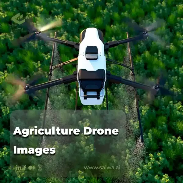
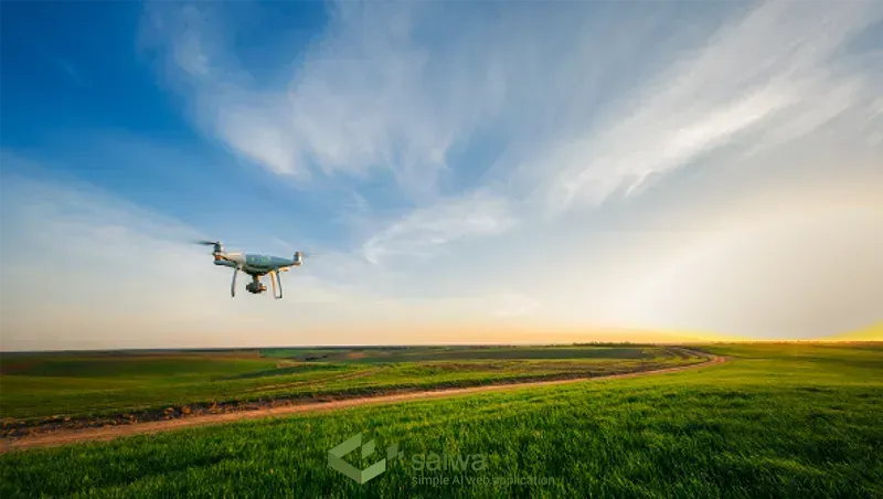
Agricultural drone imagery refers to aerial photos and video captured by drones flying over fields and farms. These bird's-eye views provide invaluable insights that would be difficult or impossible to obtain from ground-level perspectives. Drone imagery is growing rapidly in the agricultural industry for its ability to monitor crop health, map fields, identify problems early, and generally optimize farming operations.
Drones equipped with RGB, hyperspectral, thermal, and other cameras can survey acres of farmland in a matter of minutes. The high-resolution overhead perspective allows farmers to assess crop development, irrigation needs, soil variations, and more on a plant-by-plant basis. This enables precision agriculture with localized interventions tailored to conditions in each part of the field. Drone data improves decision-making and conserves resources by applying water, fertilizer, and pesticides only where they are needed.

Read Also: Leveraging Drones in Agriculture for a New Era of Data-Driven Farming
Precision Agriculture with Agriculture Drone Images
Precision agriculture is the precise management of agricultural practices using technological tools. It optimizes the use of resources such as water, fertilizer and pesticides while maximizing productivity. Agricultural drone imagery plays a key role in this approach by providing real-time and highly accurate data.
Capturing and Analyzing Aerial Images
Agriculture drones equipped with high-resolution cameras capture aerial images of farms. These images are then analyzed using advanced image processing techniques and computer vision algorithms to extract meaningful information about crop health, soil conditions, and more.
Benefits of Precision Agriculture Using Drone Images
Here are some advantages of agriculture drone images in precision agriculture.
Resource Optimization
By identifying areas with low vegetation growth or nutrient deficiencies, farmers can precisely apply fertilizers and irrigation, minimizing waste and reducing environmental impact.
Increased Efficiency
By pinpointing specific areas that require attention, farmers can minimize manual labor and concentrate efforts where it is most needed.
Yield Improvement
By addressing crop stress factors promptly, farmers can enhance overall yield and crop quality.
Cost Savings
Precision agriculture enables farmers to optimize the use of resources, reducing costs associated with excessive fertilizer, water, or pesticide application.

Types of Agriculture Drones
Several drone types are suitable for agricultural applications:
Fixed-wing drones resemble small airplanes with extended wings, allowing for longer flight times of 30-60 minutes at higher speeds and altitudes. Their stability lends itself to windy conditions and imaging large areas such as 100-500 acre farms. However, they require open space for takeoff and landing.
Multi-rotor drones use multiple horizontally oriented propellers for stable and maneuverable operation. Flight times are typically less than 30 minutes due to hovering power requirements. But vertical takeoff and landing allow them to be used in confined spaces on small farms.
Hybrid VTOL drones combine the best of both platforms. Rotors provide versatility for takeoff and landing, while wings provide efficient hovering for longer ranges. This flexibility meets the needs of mid-sized farms.
Read Also: AI-Based Drone Operation| AI in Drones use cases

Data Analysis and Decision-Making
Capturing drone images is only the first step. Processing and analysis unlock the true value:
Sophisticated photogrammetry software transforms aerial images into detailed 2D and 3D maps of farm terrain, drainage, and crop surfaces, revealing contours, elevations, and precise growing patterns.
Machine learning techniques can be applied to imagery to classify crop health, detect weeds or drought stress, and predict yields. This facilitates generating actionable prescriptions for fertilizers, irrigation, harvesting dates, and more.
Real-time drone image analysis enables making time-sensitive cultivation decisions with precision on the fly. As an example, identifying the ripe zones of a field allows selectively harvesting produce at peak ripeness rather than making uniform guesses.
Overall, transforming pixel data into agricultural intelligence is key to maximizing the potential of drones.
Crop Health Monitoring Using Agriculture Drone Images
A key point to keep the crops healthy is to predict possible diseases and prevent them as soon as possible.
Disease and Pest Outbreaks
Agriculture drone images can help detect early signs of disease and pest infestations, allowing farmers to take immediate action and prevent widespread damage.
Nutrient Deficiencies
By analyzing drone images, farmers can identify nutrient deficiencies in crops, enabling targeted and timely fertilization.
Normalized Difference Vegetation Index (NDVI)
NDVI analysis of agriculture drone images provides a reliable measurement of crop health, helping farmers to detect stress levels and make informed management decisions.
Chlorophyll Fluorescence Imaging
Drone-mounted sensors can assess the chlorophyll fluorescence emitted by crops, providing insights into their photosynthetic activity and overall health.
Read Also: Practical Application & Future of AI in Agriculture

Assessing Environmental Impact Using Agriculture Drone Images
Integrating cutting-edge technology with environmental surveillance is superior in today's agricultural landscape.
Soil Erosion Monitoring
Drone images provide a comprehensive view of soil erosion patterns, helping farmers identify vulnerable areas and implement appropriate soil conservation measures.
Water Runoff Assessment
By analyzing drone images, farmers can assess the efficiency of water management practices and identify potential improvements.
Vegetation Mapping
Drone images can help monitor vegetation cover, allowing farmers to assess the impact of their practices on biodiversity and make informed land management decisions.
Wetland Evaluation
Drone images enable the assessment of wetland health and facilitate the implementation of conservation measures.
By identifying areas of concern, farmers can adopt sustainable management practices that reduce soil erosion and protect biodiversity.
Challenges and Considerations
However, the practical integration of drone imagery faces certain challenges:
Complex regulations surrounding drone flight operations, airspace restrictions, and privacy concerns may restrict agricultural applications in some areas. Obtaining aviation waivers requires legal navigation.
Privacy issues and public perceptions regarding drone surveillance of private lands and residences adjacent to fields must be handled transparently and responsibly.
Technical limitations of current drone battery life, imaging sensors, and flight stability in adverse weather remain, although improving annually. Ongoing advances will expand possibilities.
Future Trends and Innovations
Despite current limits, the future outlook for agriculture drones remains highly promising:
- Ongoing advances in drone technology will enable larger flight ranges and duration, higher precision imaging and sensing, and full automation using AI piloting software. Drones will become ubiquitous implements on future farms.
- Integration of computer vision, spectral analysis, and machine learning will help extract even greater insights from drone data. Models will be able to diagnose crop needs and predict outcomes.
- Drones provide a key tool for sustainable agriculture by reducing wasted inputs, optimizing land usage, and monitoring ecosystems. Combined with regenerative farming practices, they can reduce agriculture's environmental footprint.
Drone imagery will be integral to next-generation smart farming powered by aerial data.
Conclusion
Agricultural drone imagery provides perspectives and insights that were previously difficult for farmers to access in their own fields. The overhead views and analytical capabilities unlocked enable the optimization of input applications, crop harvesting, animal management, and farm planning in ways not possible otherwise. Drones are already beginning to transform modern agriculture. As the technology continues to mature, these autonomous robotic workers will become indispensable tools for improving farm productivity and sustainability.
Note: Some visuals on this blog post were generated using AI tools.
Comments
No comments yet!
Table of Contents
No headings were found on this page.