


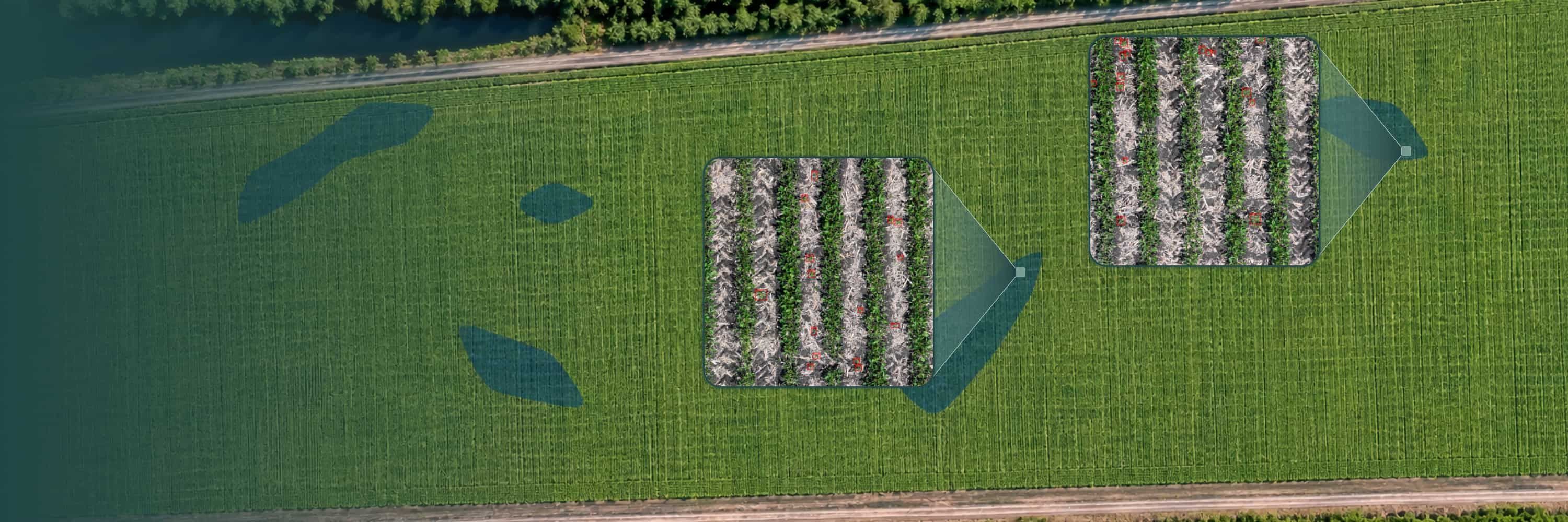

How it works?
Analyze your Soybean2 fields in three simple steps
Step 1 · Input
Upload your field imagery
Send drone, satellite, CCTV or machinery-camera footage in common formats. No special preparation needed.
- RGB
- Multispectral
- Thermal
- Orthophoto / TIFF
Step 2 · AI analysis
AI analyzes Soybean2
Our cloud models scan every frame, then locate and classify Soybean2 plants automatically. No installation or setup needed.
- Cloud-based
- Zero installation
Step 3 · Output
Get maps ready for action
Download distribution maps of Soybean2 with GIS data, ready for field monitoring and decisions.
- GeoJSON
- Shapefile
- KML
- CSV
Flexible Service Delivery

API Integration
Seamlessly connect Sairone’s advanced AI services to your existing systems through modular, easy-to-use APIs.

Fully White-Labeled Solutions
Get a tailor-made version of Sairone—branded, customized, and built specifically for your unique business needs.

Online Web Application
Use our powerful online platform with scalable cloud processing and budget-friendly